Fish
Fish Fire
Fire Hike
Hike Bird
Bird


On October 23, 1915, the Governor of Washington accepted the deed to a piece of land on Chuckanut Drive in Whatcom County. It became Washington's first state park.
The land came from the family of Charles Xavier Larrabee, a Bellingham businessman, and the park was formally named for him in 1923.
What the state acquired was a strip of shoreline on Samish Bay backed by forest. What made it valuable is the thing behind it: Chuckanut Mountain, and the sandstone that makes this stretch of coast unlike anywhere else in the state.
Where the Cascades meet the sea
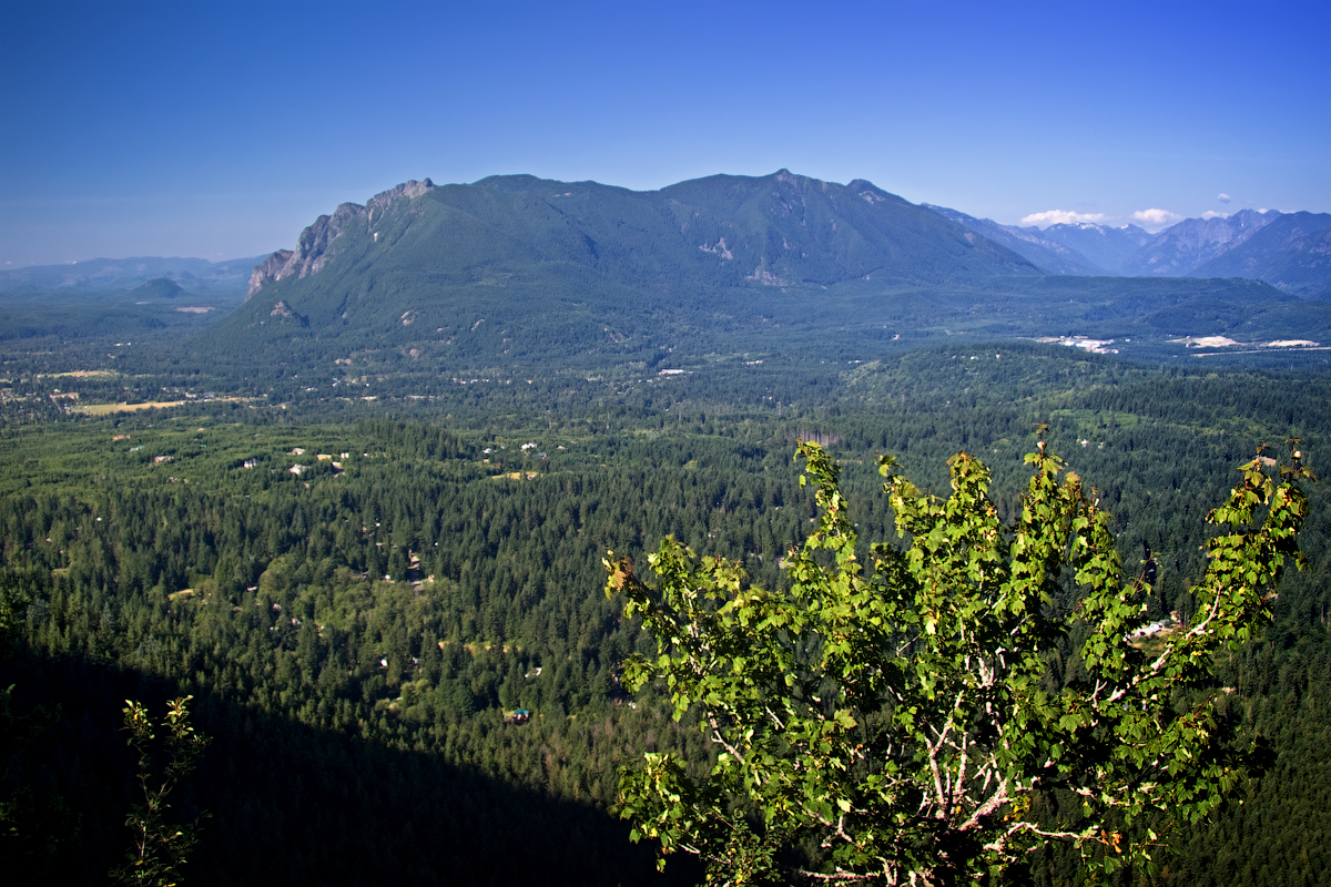
The geography here is unusual, and it is the reason the driving and the walking are both good. Along almost the entire Washington coastline the mountains stand well back from the water, with lowlands, farmland or a broad valley between, and the Chuckanut Mountains are the exception, the only place where the Cascade Range comes directly down to salt water.
The rock is the Chuckanut Formation, a thick sequence of sandstone and shale laid down around fifty million years ago in a river delta system. Sandstone weathers differently from the volcanic and metamorphic rock that dominates the rest of the Cascades, producing cliff bands, honeycomb weathering and overhangs, which is why this small area has a disproportionate share of Washington's low-elevation rock climbing.
The park, and the mountain behind it
This is the distinction worth understanding before you plan. Larrabee State Park proper is the shoreline and lower slopes, about 2,700 acres, with the campground, the beaches and the trailheads.
The Chuckanut Mountain trail system extends well beyond the park boundary onto Department of Natural Resources land, city of Bellingham property and Whatcom County parkland, and it is far larger than the state park alone. The good news is that a Discover Pass covers state parks and DNR land, so one $45 sticker handles most of it.
The distinction still matters for dogs, bikes and hunting, which vary by manager, and none of those boundaries are marked on the ground. A single morning's walk from the Larrabee campground to Oyster Dome crosses from state park to state trust land, and the rules change with it while the forest does not. Guidepole Hike carries the managing agency and its rules under the trail, which on a mountain divided between four owners is more use than a trailhead map of one of them.
The walks
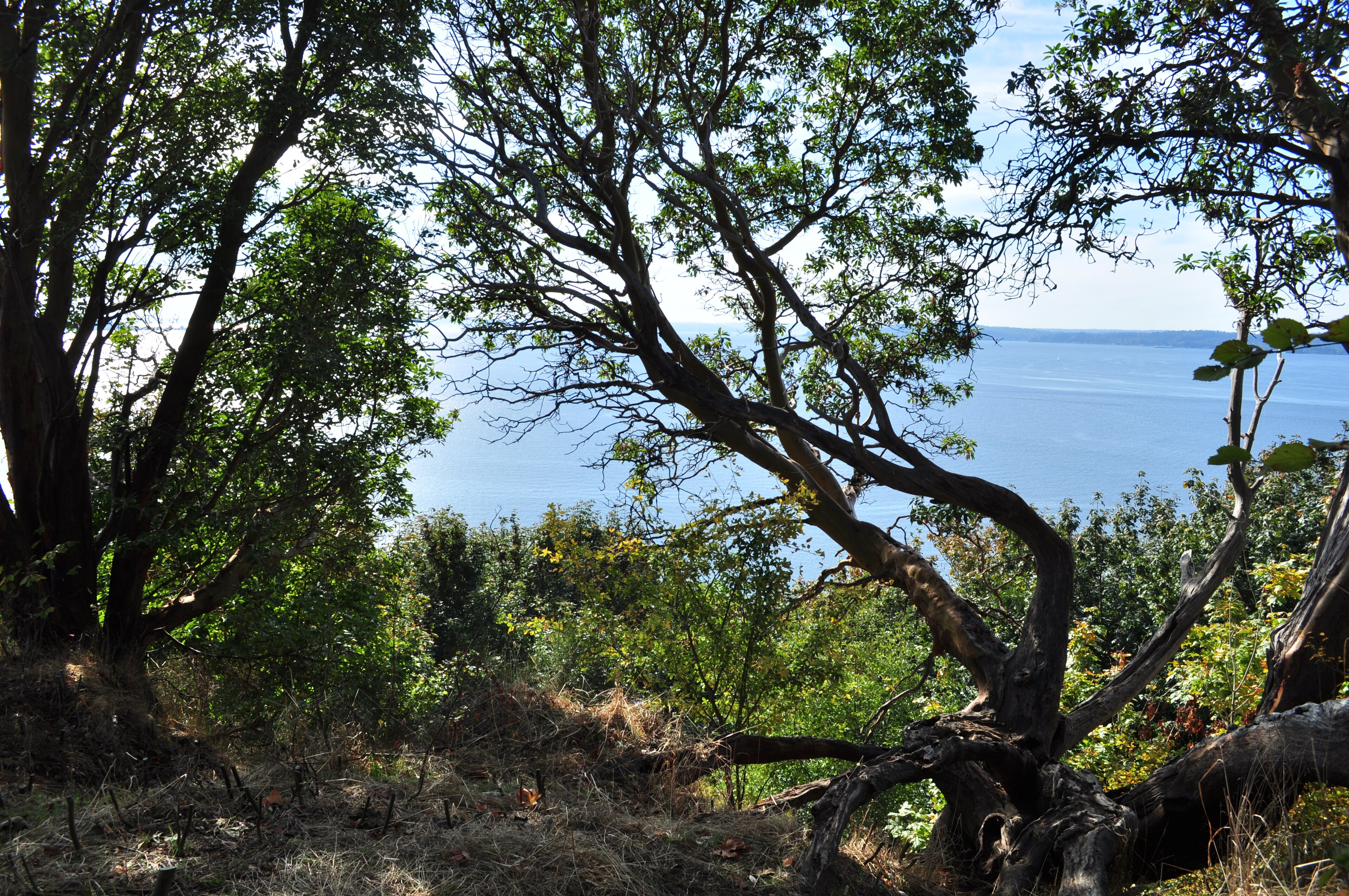
Fragrance Lake is the classic, about 5.5 miles round trip with roughly 1,000 feet of gain from the Larrabee trailhead, climbing through second-growth forest to a small lake with a loop around it, and there is a viewpoint spur partway up looking out over Samish Bay and the San Juans that is worth the extra few minutes.
Clayton Beach is the short one, under a mile down to a sandstone beach with tide pools and honeycomb-weathered rock, and the best place in the park to watch a sunset. It crosses a railroad line, and the crossing is signed for good reason.
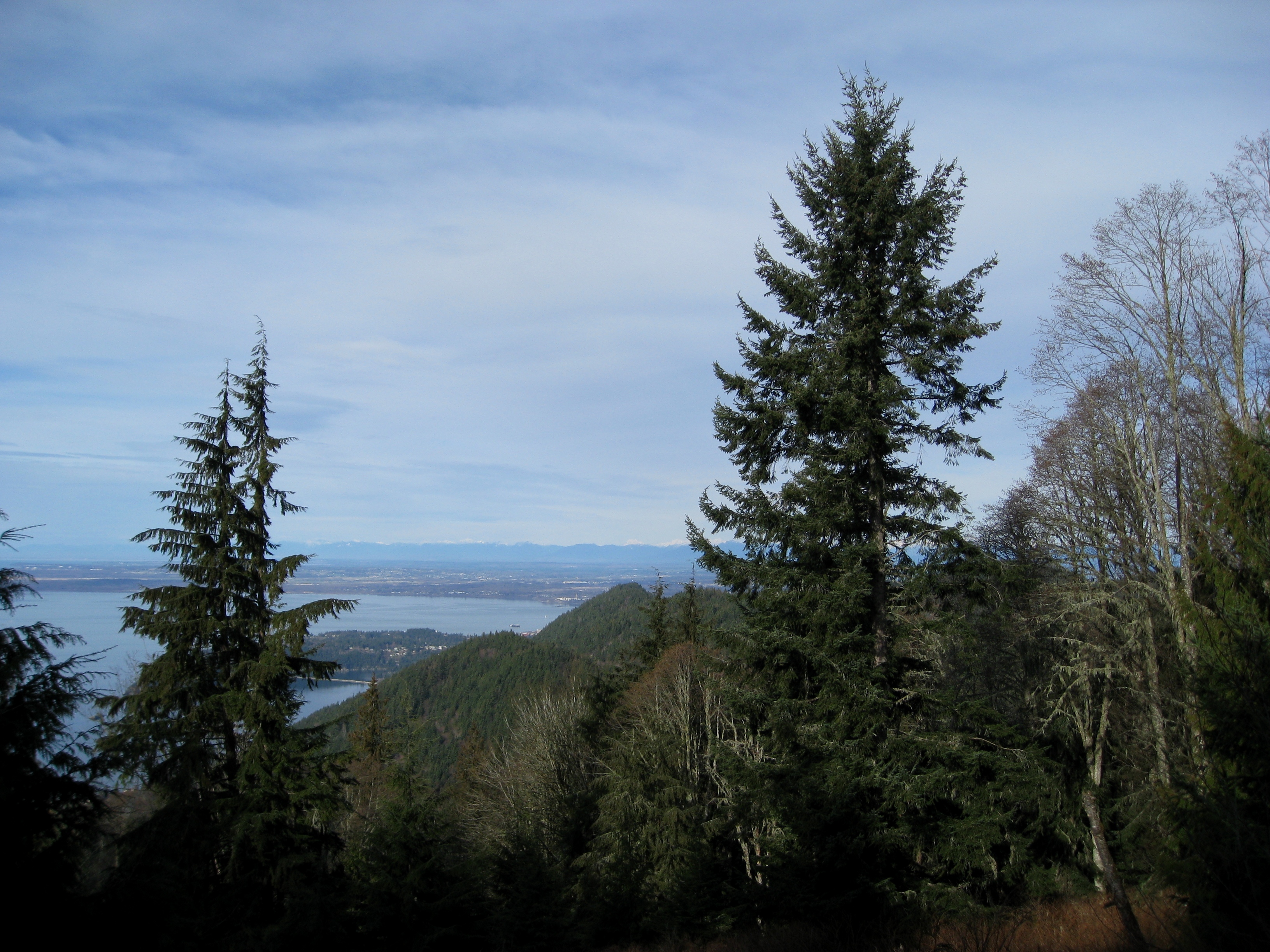
Oyster Dome is the famous one, and it is mostly not in the park. Roughly 5 to 6.5 miles round trip with about 1,900 feet of gain depending on the trailhead, climbing to a bald sandstone shoulder with an enormous view over Samish Bay, the islands and the Olympics, it is on DNR land, it is steep, and it is busy. Lost Lake and the Chuckanut Ridge Trail offer longer, quieter days on the mountain, and the Interurban Trail runs about 6 miles along an old electric railway grade from Bellingham to the park, flat and easy, which is how a lot of locals arrive.
The shoreline, and the road above it
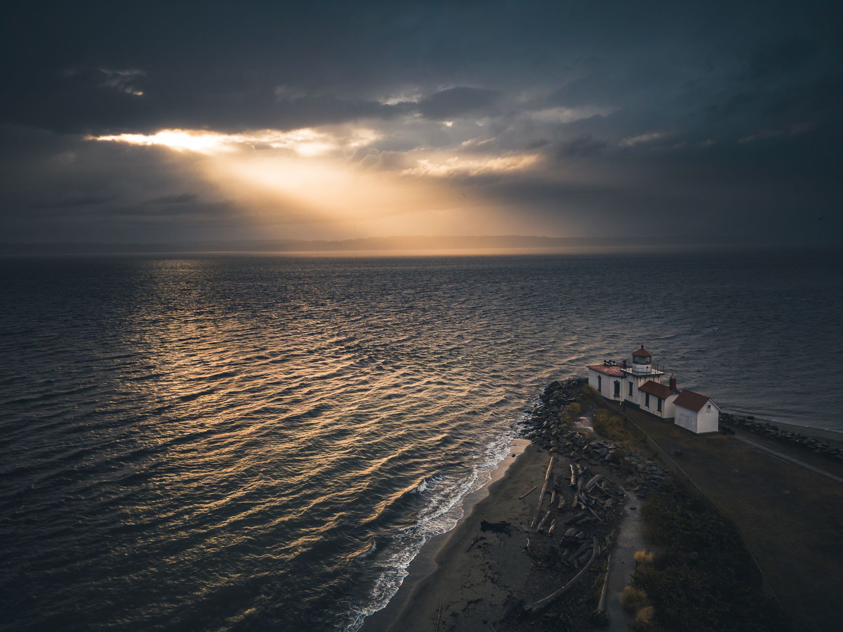
Do not skip it for the mountain. Samish Bay is shallow, sheltered and productive, and the tide pools along the park's rocky shoreline are among the better ones in northern Puget Sound, with Wildcat Cove the small boat launch and beach at the park's northern end. The sandstone at the tideline is the visual signature, pitted, honeycombed and rounded by salt weathering into shapes that look organic.
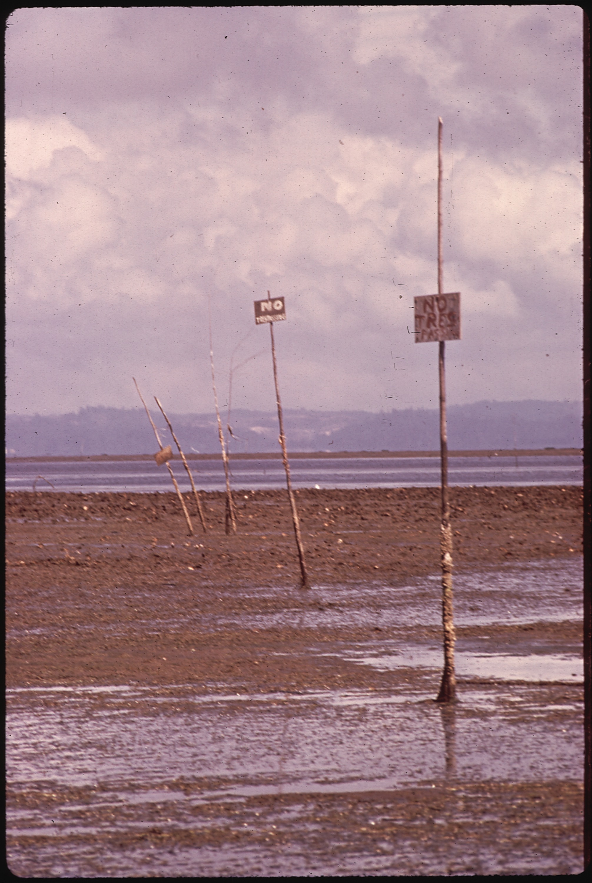
Oysters are the local industry, and Samish Bay is one of Washington's most important shellfish growing areas, which is why water quality here is monitored so closely and why the beaches are posted when it is not safe to harvest. Bald eagles are constant along this shore, and harbor seals haul out on the rocks.
The road above all of this is part of the visit rather than the approach to it. Highway 11 runs about twenty miles between Bellingham and Burlington along the base of the Chuckanuts, cut into the hillside directly above Samish Bay, completed in the 1890s as a wagon route and improved for cars in the 1920s. It is narrow, winding and slow, with pullouts overlooking the water and the islands, and it is one of the oldest scenic drives in the state. A handful of long-established restaurants sit along it perched above the bay, and the oyster farms below supply them. Driving it southbound in the late afternoon, with the sun over the San Juans, is the version to do.
The fossils, and what this coast used to be
The Chuckanut Formation is one of the more interesting rock units in Washington, and the reason is what it contains. Around fifty million years ago, in the Eocene, this area was a subtropical river delta, and the climate was far warmer and wetter than today, comparable to the modern Gulf Coast or parts of southeast Asia.
The sandstones and shales that formed from those river sediments preserve the evidence: palm fronds, ferns, sycamore and other broadleaf species, and in places bird and mammal tracks left in the mud of the delta and then buried. A notable trackway discovered in this formation records a large flightless bird, and the fossil plant assemblage is well studied.
The practical version for a walker is that the flat sandstone slabs you cross on the Chuckanut trails were once mud on a tropical river floodplain, and some of them carry impressions of what was growing there. Collecting is not permitted on state park or DNR land without authorization, and the significant material is in museum collections.
The Interurban, and how the trails connect
The Interurban Trail running from Bellingham to the park is the old grade of an electric line that operated between Bellingham and Mount Vernon from 1912 to 1930. Like the Palouse to Cascades corridor on the other side of the Cascades, it is a rail trail: flat, gently graded, and useful for exactly the reason railroads were.
What makes it valuable here is connection, because it links the city directly to the Chuckanut trail network, so a Bellingham resident can leave home on foot or by bike and reach Fragrance Lake without driving. That kind of continuous city-to-mountain link is rare in the United States, and it is one of the reasons Bellingham has the outdoor culture it does.
The wider Chuckanut network connects further, running south toward Blanchard Mountain and Oyster Dome on DNR land, east into county parkland, and north into the city's own Whatcom Falls and greenway system.
The Fragrance Lake Trail, Larrabee State ParkBlanchard Mountain, and the fight over it
The forest that holds Oyster Dome has its own history worth knowing. Blanchard Mountain is DNR trust land, which means it carries a legal obligation to generate revenue for public institutions through timber harvest, and it also holds the most-used trail system in the county. Those two facts were in direct conflict for years.
The resolution, worked out over a long negotiation, set aside a core zone of around 1,600 acres around the most-used trails to be managed for recreation and conservation, with the surrounding land remaining working forest and the trust obligation met by acquiring replacement timber land elsewhere.
It is a useful illustration of what trust land means, and of the fact that a beloved trail on state land is not automatically permanent. Someone had to negotiate for it. You will still see active logging on parts of Blanchard, and that is the system working as designed rather than a failure of it.
The gear
Larrabee is where the Chuckanut sandstone meets salt water, which produces a specific set of conditions and one unusual hazard.
A Discover Pass, required for the lot.
Rain gear you trust, because this is the wettest corner of the Puget lowlands and the season is long.
Grippy shoes for wet sandstone, which is the surface throughout and which is slick when damp. The Chuckanut formation weathers into rounded honeycomb shapes that look like good footing and are not.
A tide table, for the shoreline sections and the tidepools at Wildcat Cove, which are only worth visiting on a low.
Bike awareness, which is the unusual entry and the real one. The Chuckanut trail network is heavily used by mountain bikers, several trails are shared or directional, and a hiker walking uphill on a fast descending line is the friction point. Know which trails are shared and step off for descending riders.
An early start for Oyster Dome, which is the best-known viewpoint here and whose small trailhead lot fills before nine on any decent weekend.
And binoculars, for the islands, the eagles and the seabirds on Samish Bay below.
Season and practical notes
This is a year-round park and one of the better winter options in western Washington. Winter is good here, because the elevation is low so the trails stay snow-free, the crowds vanish, and the bare canopy opens up the water views, and it rains, which is the trade. Spring brings wildflowers on the sandstone balds and the best light, summer is busy, particularly on the Oyster Dome trail and at the beaches, with parking becoming the constraint, and autumn is excellent, quiet, and the bigleaf maples in the second growth turn well.
A Discover Pass is required for parking and it also covers the DNR trailheads on the mountain. Camping is available and books nine months ahead, dogs are welcome on an eight-foot leash in the state park with DNR land similarly permissive, which makes this an unusually good dog-hiking area, and mountain bikes use much of the Chuckanut system heavily, since it is one of the best riding networks in the state and hikers should expect to share. The park is about ten minutes south of Bellingham and roughly ninety minutes from Seattle, the railroad line along the shoreline is active and the Clayton Beach crossing is the legal one, and parking at the Oyster Dome trailhead on Chuckanut Drive is a narrow shoulder pullout that fills very early on weekends.
Hiking at Washington's First State ParkBellingham, and why it is a good base
The town ten minutes north is one of the better small outdoor cities in the country. Whatcom Falls Park is inside the city, with a stone bridge over a gorge and good short walks, while Galbraith Mountain on the eastern edge is one of the most extensive mountain bike networks in the Pacific Northwest, largely on private timber land under a public access agreement.
Mount Baker is an hour east at 10,781 feet, with the Heliotrope Ridge, Chain Lakes and Skyline Divide trails among the best day hikes in the state, and the Mount Baker Highway with Artist Point at its end reaches subalpine terrain by car, though the road opens late, often not until late July. Bellingham Bay offers kayaking, and the ferry terminal at Fairhaven is the southern end of the Alaska Marine Highway.
Between the coast, the Chuckanuts, Galbraith and Baker, a visitor based in Bellingham has salt water, sandstone, singletrack and a glaciated volcano all within an hour, which is an unusually complete set.
What to do with a day
Half a day is Fragrance Lake with the viewpoint spur, then down to Clayton Beach for the tide pools. A full day is Oyster Dome from the Chuckanut Drive trailhead, early, then the shoreline afterward. A flat day is the Interurban Trail from Bellingham and back, six miles each way on an old railroad grade. And any winter weekend is all of the above, with nobody there.
It is worth a moment at the shoreline to register what this place is: the first piece of land Washington ever decided to keep, accepted in 1915, at a time when the idea of a state park system barely existed. Everything else in the state's system descends from that decision.
More Washington parks at Deception Pass, Moran and Cape Disappointment. The city end is in hiking Seattle, the mountains are in North Cascades day hikes, and what a Discover Pass covers is in state park, national forest, or wilderness.
The bay below, and the oysters in it, are in picking oysters on Puget Sound. The other Washington saltwater parks are in Deception Pass and Moran State Park, and the goose fields half an hour south are in Skagit flats snow geese. The pass is in state park passes by state.
And a small point of order about the claim in the name of the park. Larrabee opened in 1915 as Chuckanut State Park and is generally called Washington's first state park, which is true in the sense that it was the first land donated for the purpose. The State Parks Committee that would administer it did not exist until 1913 and the modern commission not until 1921, so what actually happened is that the land arrived before the agency did.