Fish
Fish Fire
Fire Hike
Hike Bird
Bird


Deception Pass is the most visited state park in Washington by a wide margin: around 3.4 million people in 2023, which is more than most national parks.
Almost all of them do the same three things: stop on the bridge, walk down to West Beach or Rosario Beach, and leave.
The park covers 4,134 acres across two islands, Fidalgo and Whidbey, with more than thirty miles of trail. Fifteen minutes from the bridge, most of it is empty.
The pass itself, and watching the water
The name is George Vancouver's, and it is a complaint. In 1792 his expedition took what appeared to be a bay and discovered it was a narrow channel separating Whidbey from the mainland, so Whidbey was an island rather than a peninsula, and the geography had deceived them.
The channel is the point of the place. Tidal current runs through Deception Pass at up to about eight knots, and the volume of Puget Sound water forced through a gap a few hundred feet wide produces standing waves, whirlpools and boiling upwellings that are visible from the bridge and unsettling to watch. Slack water lasts minutes, small boats time their transits precisely, and people die here when they get it wrong. It is also why the fishing and the wildlife are what they are, because the current keeps the water mixed and food-rich, and seals, sea lions and eagles work the rips.
Which makes the best activity in the park one that costs nothing and requires no walking. Time your visit to the tide, because at maximum flood or ebb the current is a genuine spectacle: standing waves several feet high, whirlpools that open and close, and boils rising from the bottom like something being poured upward. From the bridge walkway a hundred and eighty feet above it, the scale is obvious in a way it never is at water level. Slack water is the opposite and equally worth seeing, when the whole channel goes glassy and silent for a few minutes before reversing.
A tide table with current predictions for Deception Pass tells you exactly when, and you want the middle of a large exchange, because the difference between a modest tide and a big one is dramatic. Kayakers and small boats transit at slack and only at slack, and watching a vessel misjudge it is instructive and slightly alarming. The seals hunt the rips hardest when the current runs, so the wildlife peaks at the same time the water does.
The bridge
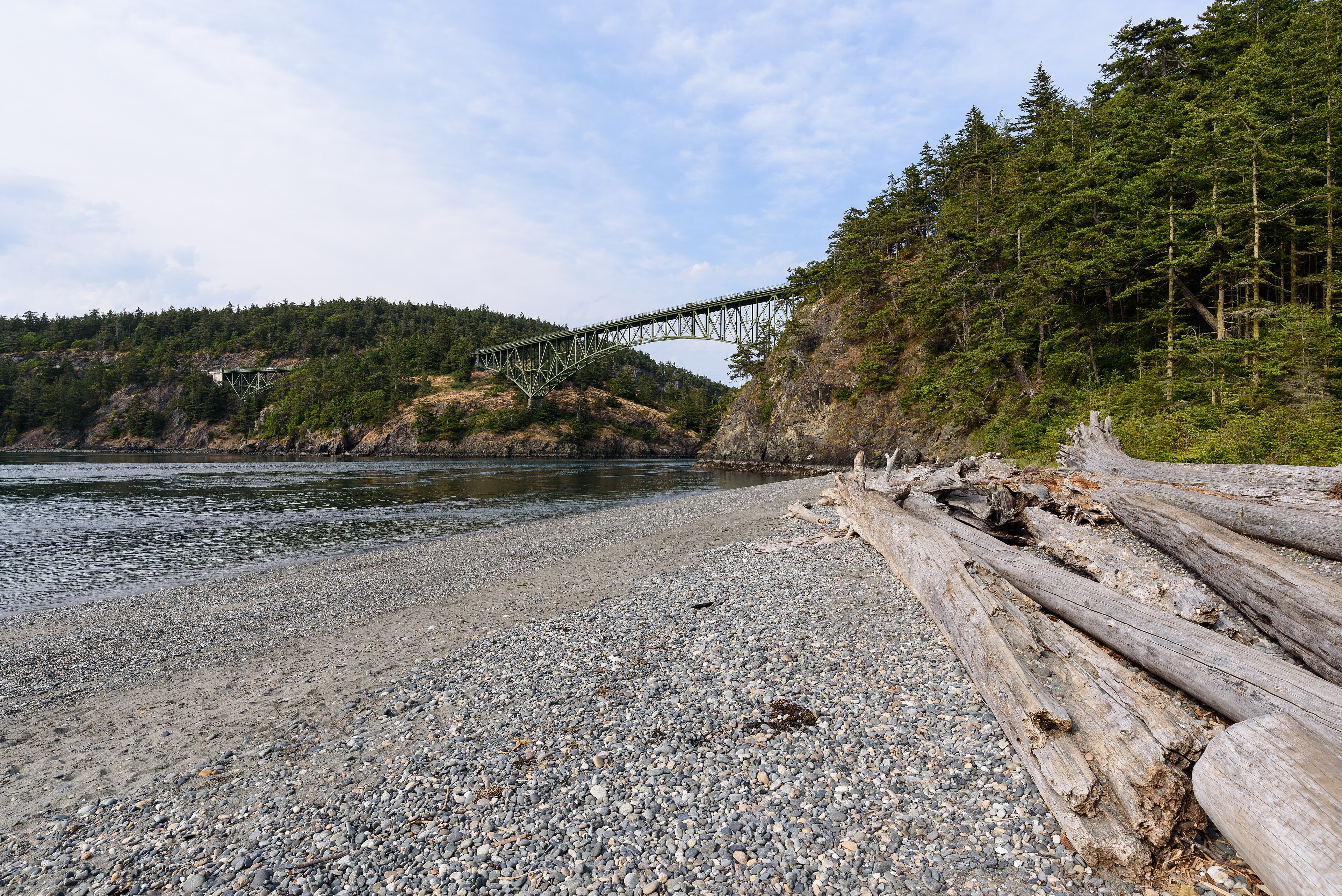
Deception Pass Bridge opened in 1935, a Public Works Administration project built during the Depression, and it is on the National Register of Historic Places. It is two spans, one from Fidalgo to Pass Island and one from Pass Island to Whidbey, arcing about 180 feet above the water.
It is one of the most photographed structures in Washington and it is worth the cliché. There is a pedestrian walkway on each side, and standing on it over a running tide is the single best two minutes in the park. The CCC built the approach roads and far more here besides, since the trails, the shelters, the stonework and much of the original park infrastructure are theirs, and the craftsmanship is obvious once you start looking for it.
The trails worth doing
Goose Rock is the park's high point at about 484 feet, on the Whidbey side, reached by a network of trails from the bridge area, and the summit is open rock with a 360-degree view over the pass, the Olympics, Mount Baker and the San Juans. It is a few miles round trip depending on the route and the best single objective in the park, with the perimeter trail around it adding a shoreline traverse beneath the bridge.
Lighthouse Point on the Fidalgo side is the other essential, a couple of miles round trip out a narrow forested headland to open bluffs directly above the pass with the current running below you, and there is no lighthouse, which surprises people. Rosario Head is a short walk to a grassy headland above tide pools, with the Maiden of Deception Pass story pole, and the tide pools there are among the best easily reached in Puget Sound. Bowman Bay connects to Lighthouse Point and holds the CCC interpretive center.
For the rest, North Beach to West Beach runs beneath the bridge along the shore, and the Sand Dune Trail at West Beach protects a rare Puget Sound dune ecosystem. Cranberry Lake and Pass Lake add freshwater loops. And Hoypus Point, on the far eastern side of the Whidbey portion, is the quiet one, offering miles of old-growth-adjacent forest trail on an old road grade with almost nobody on it.
What makes it unusual
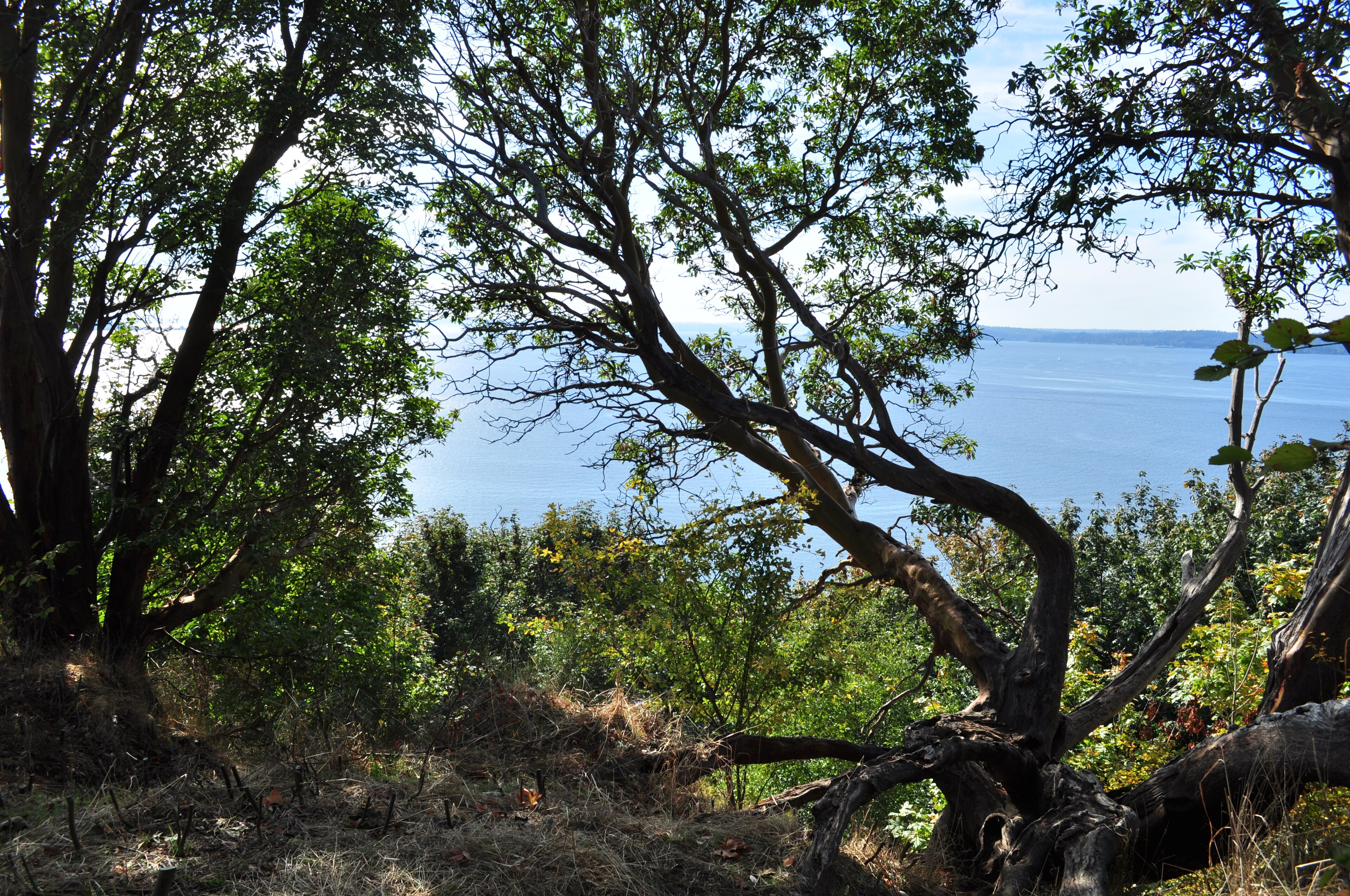
The reason this park works despite the crowds is that it is several distinct landscapes within a few miles. There is saltwater shoreline with cobble beaches, driftwood and tide pools. There is madrona and Douglas fir forest on the headlands, with the rusty peeling bark of Pacific madrone that only grows in this narrow coastal band. There are open rocky balds on Goose Rock and Lighthouse Point, supporting wildflower communities in spring that are unlike anything in the forest beside them. There are sand dunes at West Beach, a rare and shrinking habitat in the Sound. And there are two freshwater lakes.
You can cross all five in a morning, which very few parks of this size can offer.
The people who were here first
The pass and the islands around it are the traditional territory of the Coast Salish peoples, and the Samish, Swinomish and Lower Skagit have deep and continuing connections here.
Rosario Head carries the Maiden of Deception Pass story pole, carved by Samish artist Tracy Powell, telling the account of Ko-kwal-alwoot, a young woman who married a being of the sea and went to live beneath the water so that her people would always have food. The pole is not decorative, it is a statement of presence, and the Samish hold ceremonies there.
The reef net fishery practiced in these waters was a sophisticated technology unique to this region, using anchored canoes and a suspended net in the tidal current to take sockeye as they funneled through the passes, which means the tidal races that make Deception Pass dangerous are precisely what made it productive. Shell middens around the shoreline record thousands of years of occupation, they are archaeological sites protected by law, and the eroding banks where they are visible should be left alone.
What lives here
The combination of tidal mixing, rocky shore and forest edge makes this an unusually rich spot for a park so close to a city. Harbor seals haul out on the rocks and hunt the rips constantly, with Steller and California sea lions appearing seasonally, and bald eagles nest in the park and are close to guaranteed on a day's walk. Orcas pass through the wider area, both the endangered southern residents and the marine-mammal-eating transients, though sightings from the park itself are a matter of luck.
The tide pools at Rosario and Bowman Bay hold ochre sea stars, giant green anemones, chitons and nudibranchs, and sea star wasting disease devastated the populations here from 2013, so the partial recovery is worth noticing. Madrone, the peeling orange-barked tree on the headlands, is at home in this dry rain-shadow pocket and is one of the visual signatures of the park. And camas and chocolate lily bloom on the open balds in spring, remnants of a prairie habitat that Coast Salish peoples maintained with fire for camas harvest and which is now rare across the Sound.
Under Deception Pass Bridge: Hiking the Goose Rock TrailThe rain shadow
This is worth knowing because it changes when you should come. Deception Pass sits in the Olympic rain shadow, because the Olympics wring out the Pacific weather to the southwest, so this corner of Puget Sound gets substantially less rain than Seattle, closer to twenty inches a year in parts of the region than Seattle's thirty-eight.
The practical consequence is that this is one of the better winter and shoulder-season destinations in western Washington, because when the Cascades are buried and Seattle is under a week of drizzle, Deception Pass is frequently dry, cold and clear. Spring on the balds, in April and May, is the peak for wildflowers, and the water is calm enough to see the current structure clearly. Summer weekends are the thing to avoid, and it is not subtle, because the lots fill early and the bridge parking is chaos.
The gear
Deception Pass is the busiest state park in Washington and it is a saltwater park, which sets the whole list.
A Discover Pass, which is required and enforced, and which is the most common citation here because of the volume of visitors.
A tide table, because the beaches, the tidepools at Rosario and the passage under the bridge all change completely with the water, and the current through the pass itself runs to eight knots on a big exchange.
A wind layer, since the bridge and the headlands are exposed to whatever is coming down the strait.
Grippy shoes for wet rock, for the shoreline scrambles and the sandstone.
Binoculars, for the seabirds, the harbor seals in the pass and the eagles, all of which are routine.
A leash of eight feet or shorter, which is the Washington State Parks standard and is a longer allowance than most states, but is still a specific number.
And an early alarm, which is the real answer to this park. It receives more visitors than any other in the state, the lots fill by mid-morning on any decent weekend, and the same trails at seven in the morning are close to empty.
The other parks along the same road
One of the best things about this corner of Washington is how many good parks sit within half an hour. Fort Ebey, south on Whidbey, has bluff-top trails above the Strait with World War II gun emplacements and some of the best rain-shadow prairie in the Sound. Fort Casey holds a preserved coastal defense battery and a lighthouse next to the Keystone ferry. And Ebey's Landing, technically a National Historical Reserve rather than a state park, offers the single best coastal walk in the region: a bluff trail above the Strait dropping to a beach return, through working farmland continuously cultivated since the 1850s.
Most of those share a Discover Pass, which is the neat part, but the exception is the one worth knowing. Anacortes Community Forest Lands, just north, hold an extensive free trail network on Fidalgo Island with lakes and balds and no Discover Pass requirement at all, sitting a few minutes from ground where the pass is required and enforced. Guidepole Hike carries the managing agency and its pass requirement against each trailhead, which on an island where city forest, state park and federal reserve interleave saves both the citation and the unnecessary purchase.
A weekend based in Oak Harbor or Anacortes can cover most of these with very little driving, and in the shoulder season you will have the trails largely to yourself.
Five Tips for a Trip to Deception Pass BridgePractical notes
A Discover Pass is required for parking, at $10 a day or $45 a year, and the same pass covers DNR and Fish and Wildlife land across the state, with the wider comparison in six states, six ways to charge you for a trailhead.
Camping is extensive and books out nine months ahead for summer, because Washington has the longest reservation window in the region. Dogs are welcome on an eight-foot leash and excluded from designated swimming beaches. Tide tables matter for the tide pools at Rosario and for beach walking generally. The water is cold and the current is lethal, so swimming in the pass itself is not a thing people do. Parking fills by mid-morning on summer weekends, so go early or go midweek. And it is about 90 minutes from Seattle, north on I-5 then west, or via the Mukilteo-Clinton ferry and up Whidbey.
How to spend a day
Take the morning at Lighthouse Point from Bowman Bay, then Rosario Head and the tide pools if the tide is out. Walk the bridge at midday, both walkways. Spend the afternoon on Goose Rock by the perimeter trail and down the summit route, for the view that explains the whole geography.
And if it is crowded, drive to Hoypus Point and walk in the forest, where you will meet almost nobody.
The rest of the region is in hiking Seattle and North Cascades day hikes. For what a Discover Pass covers beyond the park boundary, see state park, national forest, or wilderness, and for booking the campground, state park camping reservations. The waters here are serious beach fishing: see fly fishing Puget Sound beaches.
The other Washington saltwater state parks are in Larrabee and Chuckanut, Cape Disappointment and Moran State Park. The pass that covers all of them is explained in state park passes by state, the dog rules in dogs in state parks, and the city an hour and a half south in hiking Seattle.