Fish
Fish Fire
Fire Hike
Hike Bird
Bird


There is a mailbox on top of a mountain outside North Bend, Washington, and people have been climbing four thousand feet to put things in it since at least the 1960s.
Inside, at any given time, you might find a stuffed animal, a rubber duck, a bottle of whiskey, a logbook, a bowling ball, a garden gnome, or a fire extinguisher. Someone once carried a full-sized ship's anchor up. The contents rotate constantly because people take things and leave things, and the tradition is one of the more charming pieces of Pacific Northwest hiking culture.
Getting there is the problem.
Two trails, one summit
This is the thing to understand before you drive out, because choosing wrong makes for a very different day.
The Old Trail gains roughly 4,000 feet in about 2.5 miles, for a round trip of around 5.4 miles. After a short section on a Department of Natural Resources road it goes essentially straight up the ridgeline, with no switchbacks, no concession to gradient, just a boot path following the fall line through second-growth forest, with roots, mud and sections where you use your hands. That works out to an average grade of around 30 percent, which is roughly double what people think of as a steep trail.
The New Trail, completed in 2014, reaches the same summit in about 4.7 miles one way, 9.4 miles round trip, with a comparable 4,000 to 4,100 feet of gain. It begins wide and gentle with bridges and stream crossings, then settles into steady switchbacks through forest, and after roughly four miles it meets the old trail, with the pair sharing the final stretch, a boulder field and a last 0.75 miles gaining another 1,000 feet.
So: the same summit, the same total gain, and a choice between 5.4 brutal miles and 9.4 civilized ones.
Why the new trail exists
This is the interesting part, and it explains the whole situation. Before 2014 the only route was the unmaintained ridge path, and Mailbox Peak's fame, meaning the mailbox, the training reputation and the proximity to Seattle, drew a steady stream of people who were not prepared for a 4,000-foot fall-line scramble. They got lost on the poorly defined tread, they got injured on the descent, and rescues became routine enough to be a problem.
The new trail was built as a direct response, a properly graded route that would let people reach the summit without the accident rate. It worked, the old trail stayed open, and the result is a mountain with two personalities.
What to Expect on the Mailbox Peak Old TrailWhich one to take
Take the new trail if you want a long, steady, achievable big day, if it is wet or icy or you are descending in poor light, if you are unsure of your knees, or if this is your first hike of this size. Eleven miles at a sane grade is a good hike and there is no shame whatsoever in it.
Take the old trail if you are training for something, you are experienced with steep unmaintained tread, conditions are dry, and you specifically want the challenge. It is the reason Mailbox has its reputation, and for anyone preparing for Rainier or a big alpine objective it is one of the most efficient training climbs in Washington, because 4,000 feet in under three miles is hard to find.
The combination most locals recommend is up the old trail and down the new one, which gives you the workout on the ascent while fresh and spares your knees the fall-line descent, at the cost of a long walk out and a slightly awkward return, since the two trails share a parking area.
Descending the old trail is the specific thing to avoid, and it deserves its own paragraph because it is what hurts people here. The descent is relentlessly steep, on roots, loose dirt and rock, with very few places to reset. Quadriceps fatigue sets in fast, and once it does, foot placement degrades and falls follow. If you go up the old trail and cannot arrange to come down the new one, the honest advice is to descend slowly, use poles, and accept that it will take longer than the ascent felt like it should. Plenty of people climb Mailbox comfortably and then take three hours to get back down.
The summit
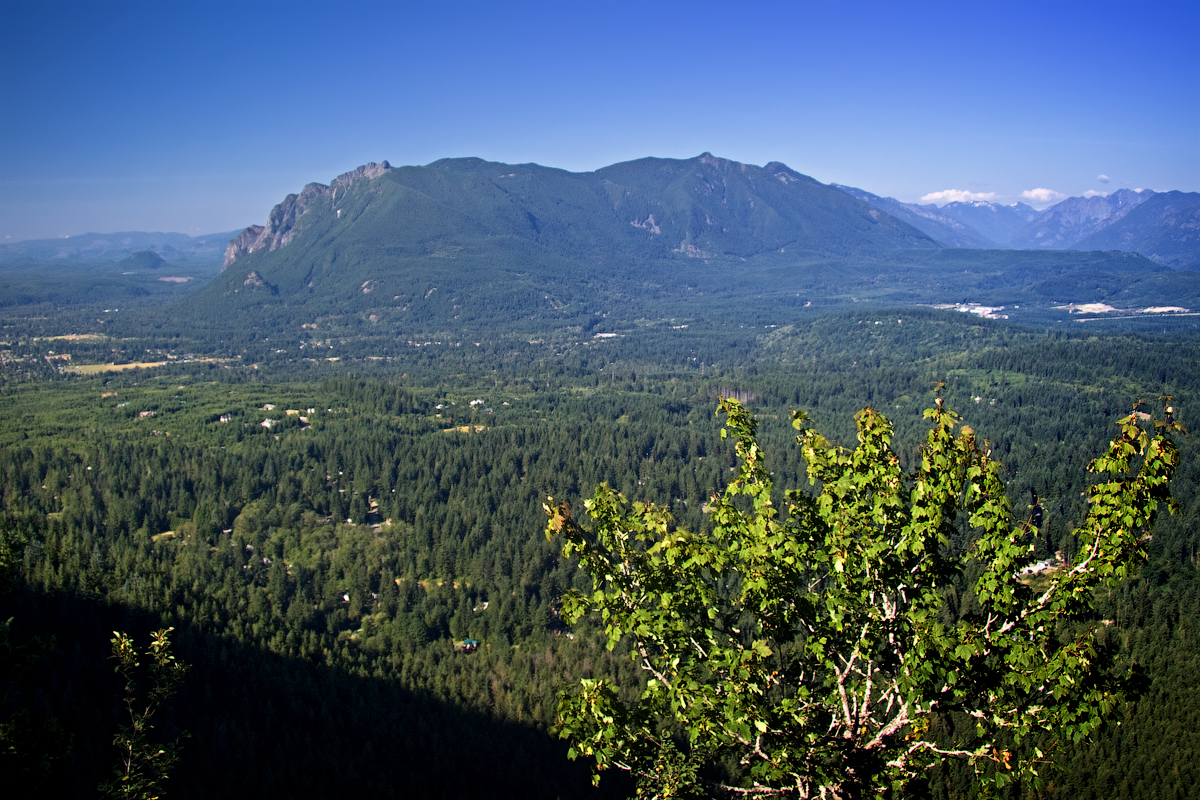
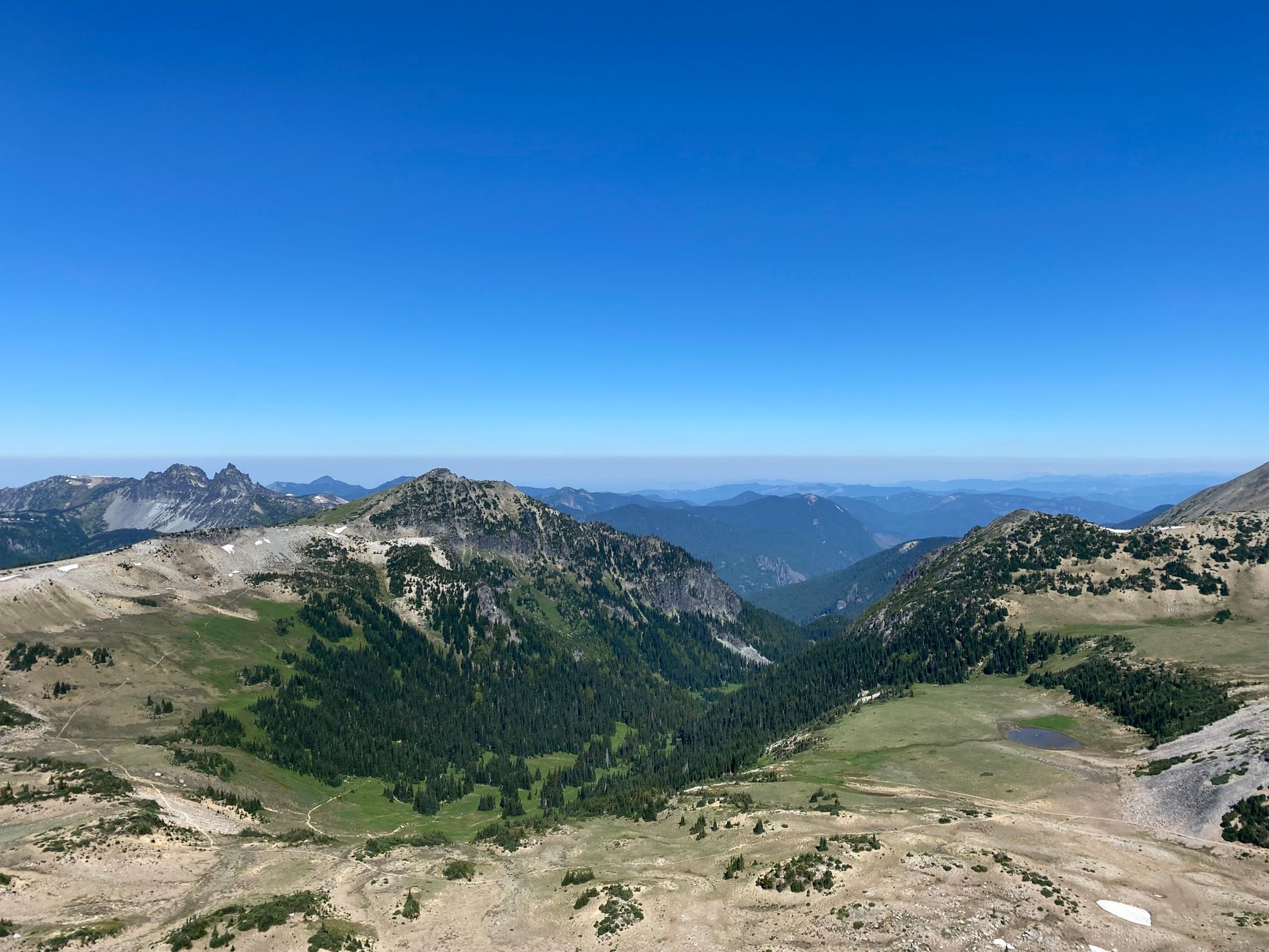
At 4,822 feet the top is an open rocky area with the mailbox mounted on a post, and on a clear day the view is exceptional for the effort, with Mount Rainier dominating to the south, the Snoqualmie Valley below, Mount Si and Little Si across the way, and the Cascades running east.
It is one of the better summit views within an hour of Seattle, and the mailbox makes it one of the few that comes with a ritual. Open it, look through it, leave something if you brought something, and sign the logbook if there is one. Do not leave trash, because the distinction between a beloved tradition and a litter problem is whether the things left behind are worth finding, and volunteers periodically haul out what has accumulated.
Why it is a training hike
Mailbox occupies a specific niche in Seattle-area hiking, and it is worth understanding why people keep coming back to something this unpleasant. Vertical per mile is the metric that matters for anyone preparing for a big mountain, so if you are training for Rainier, for Baker, for a Cascade volcano or for something at altitude, what you need is sustained climbing under load, and 4,000 feet in 2.5 miles delivers more of that per hour of driving than almost anything else within reach of the city.
People carry weight up it deliberately, with water jugs, sandbags and rocks in a pack a common sight, because the standard training progression is to add load rather than distance. Repeat laps are a thing too, since doing the old trail twice in a day is a recognized local benchmark and there are people who do considerably more than that. And it builds descent tolerance, which is the part of mountaineering fitness most people neglect and the part that ends more summit days than the climbing does.
None of which makes it a pleasant walk. It makes it efficient, which is a different quality entirely, and it explains why a mountain with a mailbox on it is treated with the seriousness it is.
How it compares
It is worth setting expectations against the other North Bend classics. Mount Si is 8 miles and 3,150 feet, so longer, less steep, more crowded, and with a better-graded trail throughout, which makes it the more popular hike and the easier one. Mount Teneriffe is 13 miles and 3,800 feet, longer than Si and quieter.
Mailbox via the old trail is the steepest of the three by a wide margin and the shortest, while via the new trail it is the longest. If you are working through the North Bend peaks as training, the usual progression is Si, then Teneriffe, then Mailbox's old trail, and that progression exists for a reason.
King County Rescue Teams Caution Hikers After Five Calls on Mailbox Peak in One WeekRescues, and why they happen here
Mailbox has a reputation with King County Search and Rescue, and the pattern is consistent enough to be worth naming. People underestimate 4,000 feet, because it is a large amount of climbing and the mountain's proximity to Seattle makes it feel casual in a way the numbers do not support. They run out of daylight, when a slower-than-expected ascent plus a slow descent plus a late start equals darkness on steep ground. They get caught by conditions, with snow and ice on the upper mountain when the trailhead was bare and warm. And they descend the old trail on wrecked legs, which is where the falls happen.
None of that is exotic, and all of it is avoidable with an early start, a headlamp, traction in season, and honesty about the descent.
The gear
Mailbox Peak is four thousand feet of gain in two and a half miles on the old trail, which is the steepest sustained maintained trail near Seattle, and the gear list is short and serious.
Trekking poles, which are the single most useful item on either route. The old trail descends the same brutal grade it climbs and the new trail's switchbacks are long but relentless. Knees fail on this hill more than lungs do.
Kahtoola MICROspikes, from roughly November through May. The summit is at forty-eight hundred feet, it holds snow and ice long after the trailhead is bare, and the old trail's upper section is a steep dirt chute that turns into a luge.
Shoes with aggressive tread, since the old trail is roots, mud and loose dirt rather than tread in any conventional sense.
Two liters of water, because there is none on the mountain and the climb is continuous.
A Washington State Discover Pass for the trailhead lot, which is Department of Natural Resources land.
A headlamp, which matters here specifically because this is a training hike people do after work, and the descent takes longer than they plan.
And something small and odd for the mailbox at the summit, which is the tradition and costs nothing.
Conditions, and when not to go
Summer and early autumn are the reliable window, when the tread is dry and the summit rocks are clear. Winter and early spring change the mountain substantially, because the upper section and the summit boulder field hold snow and ice long after the trailhead is bare, and the old trail's steep fall line becomes dangerous when frozen. Microspikes belong in the pack from roughly November through May, and there are conditions where neither trail is a reasonable objective.
Rain makes the old trail's roots and mud treacherous and is a common reason to switch to the new one at the last minute. And fog obscures the view entirely, so since the view is a large part of the reward, checking the forecast for the summit rather than for North Bend is worth doing.
Getting there, and practical notes
The trailhead sits off the Middle Fork Snoqualmie Road, reached from Exit 34 on I-90 rather than Exit 32 which serves Mount Si, and it is roughly 45 minutes from Seattle without traffic and considerably more on a summer weekend morning. The access road is paved for the relevant stretch and the lot is signed. Both trails leave from it and the split comes shortly after the start, so pay attention, because taking the wrong one is a very consequential mistake in either direction.
That is the specific case for checking a map rather than a sign: one trailhead, one parking area, and two routes to the same summit that differ by four miles and an entire category of difficulty, distinguished only by which way you turn a few minutes in. Guidepole Hike carries both routes separately under the trailhead they share, along with the Discover Pass this ground requires, since Mailbox is Washington DNR land and the lot is patrolled.
Beyond that: parking fills early on clear weekends as it does everywhere in this corridor, there is no water on either route that you should drink untreated and the old trail's steepness means you will use more than you expect, so carry two liters minimum. Dogs are allowed on leash. Cell signal is patchy and largely absent on the lower trails. And budget four to seven hours depending on the route and your pace, because fast parties do the old trail up and down in three while most people take considerably longer.
The Middle Fork valley more broadly is worth knowing about, since it holds a string of other trailheads including the Middle Fork Trail itself and the approach to several harder peaks, and the road continues past Mailbox into remote country.
Decide in the parking lot
Decide which trail before you leave the parking lot, and be honest about it. The new trail is a proper hike and not a consolation. The old trail is a genuine test and it earns its reputation.
Go up the old and down the new if you want the best of both. Carry traction from November through May. Buy the Discover Pass. Take two liters.
And bring something small and strange to leave in the mailbox, because a mountain with a tradition attached is better than one without.
The neighboring classic is a gentler introduction to the same corridor: Mount Si. If Mailbox is training for something, the Enchantments is what a lot of Seattle-side hikers are training for. And reading gain, grade, and class explains exactly why 4,000 feet in 2.5 miles feels the way it does.
The other Snoqualmie training hill, half an hour west and half as steep, is in Mount Si. The city this serves is in hiking Seattle. What people train on this hill for is in the Enchantments permit lottery, one day at Mount Rainier and North Cascades day hikes.