Fish
Fish Fire
Fire Hike
Hike Bird
Bird


Most hard hikes are hard because of the hiking. The Enchantments are hard because of a web form you fill out in February.
The Core Enchantment Zone, the granite basin of turquoise lakes and golden larches that every photograph you have seen comes from, runs an overnight permit lottery with a success rate of roughly two to three percent. Something north of 80 percent of all applicants put the Core Zone down as their preference, which is exactly why almost nobody gets it. People apply for a decade without winning.
That statistic makes the Enchantments sound closed. It is not. There are five permit zones, not one, and there is a completely separate free permit that requires no lottery at all. What follows is how the system is structured, and what to do with the 97-plus percent of the time that the lottery says no.
What you are applying for
The Enchantment Permit Area covers far more than the basin in the photos. It is divided into five zones and your lottery application ranks them.
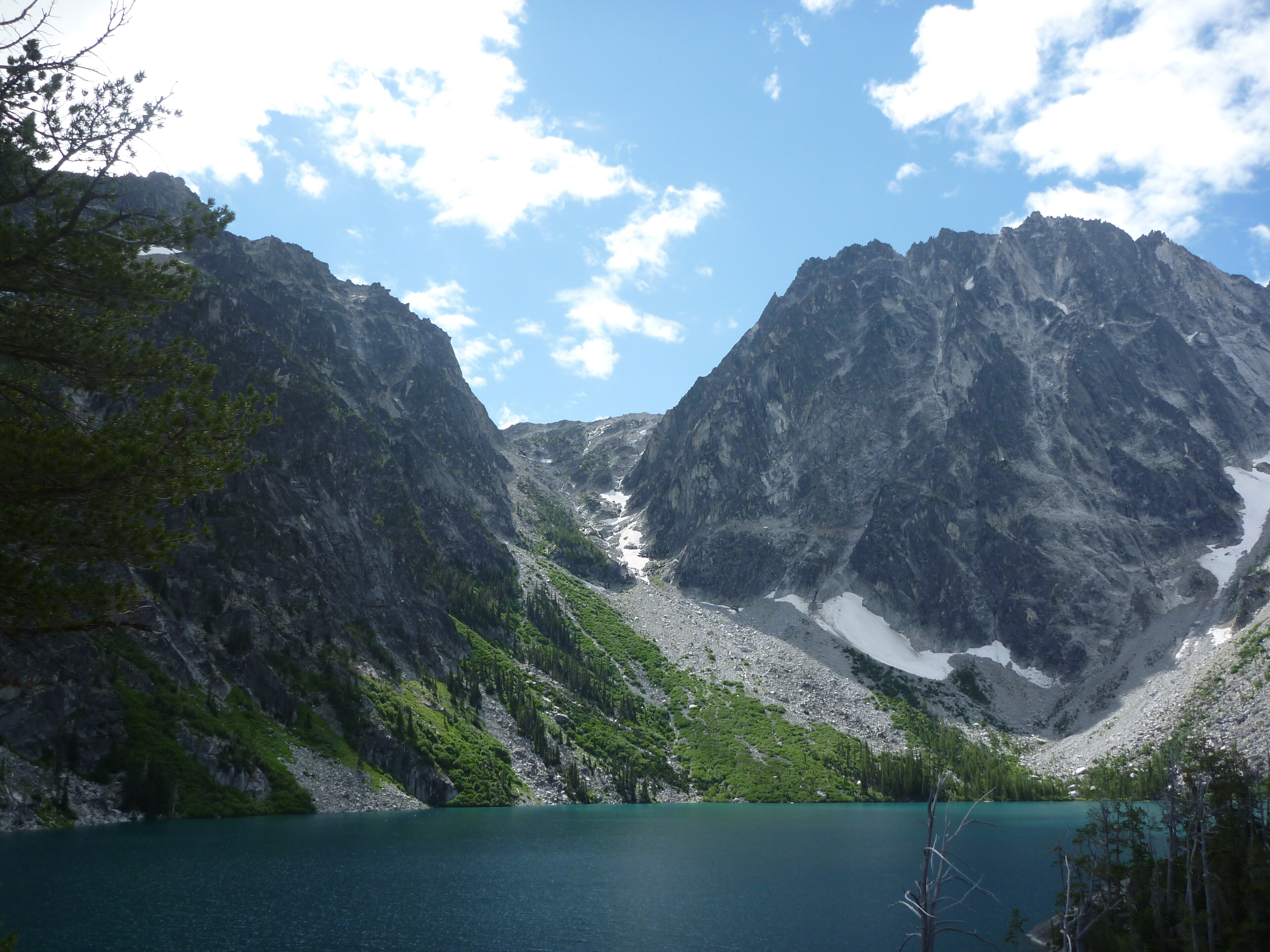
The Core Enchantment Zone is the upper basin at around 7,428 feet, holding the alpine lakes, the larches and the mountain goats, and it is the one everyone wants. The Colchuck Zone is Colchuck Lake at 5,561 feet, sitting under Dragontail Peak with Aasgard Pass rising directly out of its far shore. The Snow Zone is the Icicle Creek side, up past Nada Lake at about 5,000 feet to the Snow Lakes. The Stuart Zone covers Stuart Lake in the drainage next door. And the Eightmile/Caroline Zone is the quietest of the five.
The crucial thing about that list is that only the Core Zone is a two-percent proposition. The others are meaningfully easier to draw, and they are all inside the same wilderness under the same peaks, so a Colchuck Zone permit puts you camped beneath Dragontail Peak with the entire Core basin a morning's climb away.
That structure is the whole game, and it is invisible from outside: one wilderness, five permit zones, odds ranging from near-impossible to entirely reasonable, and a free day-use permit sitting alongside all of it on a different system. Guidepole Hike carries the permit zone and its requirement against the ground it covers rather than against the wilderness as a whole, which is what makes the four easy answers findable at all when the hard one is the only thing anyone talks about.
How the lottery works
The overnight permit season runs May 15 through October 31, and inside that window every overnight visitor needs a permit. Outside it, from November 1 through May 14, permits are not required and you self-register at the trailhead box.
The main draw is the advanced lottery on Recreation.gov. Applications open February 15 and close March 1, and every application submitted inside that two-week window has equal odds, so there is no advantage to applying on the first morning, which is the single most common misconception about this lottery. Results go out March 17, and winners must accept, set an exit date and pay by March 31 at 11:59 pm Pacific, at $5 per person per day, with a missed deadline sending the permit back into the pool.
Those returned permits are released April 1 at 7:00 am Pacific, first come first served, and this is a genuine second chance that is badly under-used, because it requires being at a keyboard on a specific weekday morning three weeks after you were told no.
There is also a daily lottery during the permit season for last-minute trips, run by the Forest Service on weekdays, Monday through Friday, for trips starting Tuesday through Saturday. The catch is geographic: you must be physically within a one-mile geofence of the Leavenworth Ranger Station to enter. That is a deliberate filter, and it means the daily lottery is available to people who have already driven to Leavenworth and are prepared to hike on short notice, rather than to someone refreshing a browser in Seattle.
Dates, fees and rules do change year to year, so confirm the current window with the Okanogan-Wenatchee National Forest and on Recreation.gov before you plan around any of it.
Tips for Backpacking and Hiking the EnchantmentsPlaying the odds properly
Given the structure above, a few things follow that most applicants do not act on. Rank all five zones rather than just the Core, because an application that lists only the Core Zone is an application that mostly loses, and if your actual goal is to be in that wilderness with a pack on, the other four zones deliver it.
Be flexible on dates, since late September and early October, when the larches turn, is the most contested stretch of the season, while July and early August in the Colchuck or Stuart zones are a different competition entirely. Apply with a smaller group, because you are competing for a finite number of person-nights and a request for eight is a bigger ask than a request for two. And put April 1 in your calendar the day you get the March 17 rejection, because the unclaimed-permit release is the least crowded moment in the entire process.
When you lose: the day hike nobody talks about
Here is the part that gets buried. Day use requires only a free permit that you fill out yourself at the trailhead, with no lottery, no fee and no months of waiting.
What that free permit buys you is the Enchantments thru-hike, one of the great single-day mountain traverses in the United States: roughly 18 to 20 miles point to point, with something in the region of 4,500 to 5,500 feet of climbing and around 7,000 feet of descent. Most parties take 10 to 12 hours, and depending on fitness and conditions it runs anywhere from 8 to 15.
The standard direction is uphill-first and downhill-forever. Start at the Stuart Lake Trailhead at about 3,225 feet, climb four miles to Colchuck Lake, go up and over Aasgard Pass into the Core basin, cross the entire upper and lower Enchantments, and descend the Snow Lakes trail to the Snow Lakes Trailhead at about 1,400 feet. It is a point-to-point, so you need two cars or a shuttle arrangement, and that logistics problem rather than the permit is what stops most people.
This is a serious undertaking and it deserves to be treated as one: twelve hours of movement at altitude, above treeline for much of it, with weather that changes fast and no bail-out once you are committed past Aasgard. Start in the dark, carry headlamps for both ends of the day, and turn around if the weather turns.
Aasgard Pass: The Entire ClimbAasgard Pass is the crux, and it is not a trail
Aasgard Pass tops out at 7,841 feet and it is the gate between Colchuck Lake and the Upper Enchantment Basin. From the lake at 5,561 feet it climbs roughly 2,200 feet in about a mile of boulder, scree and loose ground, with no graded trail, so route-finding matters, cairns are inconsistent, and rockfall from parties above is a real hazard.
It is regularly described by the Forest Service and by the Mountaineers as suitable only for people in strong condition who are experienced on very steep, unmaintained terrain, and that description is accurate rather than cautious. Snow lingers in the gully well into summer and returns early in autumn, and ice on Aasgard in October has caught out plenty of people who checked a forecast in Leavenworth, 4,000 feet lower and twenty degrees warmer.
If Aasgard is beyond you, the Snow Lakes approach reaches the Core basin the long way with no scrambling.
The Snow Lakes way in
The Snow Lakes Trailhead sits on the Icicle Creek side at about 1,400 feet, and it is the least glamorous and most underrated entry to the Enchantments. Where Aasgard front-loads the pain into one savage mile, Snow Lakes spreads it across a long, grinding, switchbacked climb past Nada Lake at roughly 5,000 feet and on up to the Snow Lakes themselves.
In mileage it is the harder option. In hazard it is far the easier one, being a maintained trail the whole way with no boulder-hopping, no route-finding, no rockfall from parties overhead, and no committing move you cannot reverse. If you are hiking with someone whose scrambling you are unsure about, or if there is any snow or ice in the forecast, this is the route that keeps the day inside your control.
It is also the direction most thru-hikers descend, which means going up it puts you against the flow. That is a fair trade for arriving in the basin with your legs intact.
The gear
Whether you are through-hiking the Core Zone in a day or backpacking it with a permit, the Enchantments punish light packing at eight thousand feet.
Kahtoola MICROspikes, and this is the item that decides whether Aasgard Pass is a scramble or an incident. The pass holds snow into July and returns to it in September, the slope is steep and the runout is Colchuck Lake, and the accidents here are almost all slips on firm snow.
Carbon trekking poles, for the same pass in the other direction. Two thousand feet in three-quarters of a mile is not a grade you walk down comfortably without them.
A headlamp with a real battery, because the day-hike-through version of this route takes most people fifteen to eighteen hours and starts and ends in the dark.
A pack in the fifty-liter range if you have an overnight permit, and something much smaller if you do not.
A squeeze filter, since the lakes are everywhere and carrying water over the pass is pointless weight.
A satellite communicator, because there is no coverage in the basin and a rescue from the Core Zone is a long operation.
And an approved food-storage system, which matters here for an unusual reason. The mountain goats are the problem rather than the bears: they are habituated, they seek salt, and they will approach people, chew gear and follow you for urine. Store food, and pee on rock well off the trail rather than on vegetation.
Getting there, and the shuttle problem
Everything here runs through Leavenworth, about two and a half hours from Seattle over Stevens Pass or Snoqualmie Pass. The two trailheads are roughly 20 minutes apart by road but 18-plus miles apart on foot, and that gap is the logistical heart of the trip.
Your options are two cars, a paid shuttle from town, or a very patient friend. Leave a vehicle at Snow Lakes and drive the second up the Icicle Creek road to Stuart Lake, because coming off the mountain 4,000 feet lower than you started and finding you parked at the wrong end is a miserable way to finish twelve hours of walking.
The Stuart Lake Trailhead is reached by USFS Road 7601 and the lot is small for the demand it takes, so arrive early. Check the Forest Service's current parking-pass requirement for the trailheads when you confirm your permit, since that is separate from the wilderness permit itself.
Larches, goats, and the no-dogs rule
The larches are the reason for the autumn crush. They are deciduous conifers, and for a window of roughly two to three weeks from late September into mid-October the whole basin goes gold. Bill and Peg Stark, who first came here in 1959 and gave most of the features their mythological names, were captivated by exactly that.
The mountain goats are the other signature. They are habituated, unbothered by people, and drawn to salt, which means they follow hikers and take an unwelcome interest in urine, so relieve yourself on rock well off-trail rather than on vegetation, to keep goats from tearing up the fragile basin soil chasing salt.
Dogs are banned in the Enchantment Permit Area. That ban dates to 1982, the mountain goat and ptarmigan populations recovered afterward, and it is neither negotiable nor a formality. The basin is granite slab and thin alpine soil, so camp only on established sites and follow current human-waste rules for the area, which are stricter than general wilderness practice, and check the Forest Service's current requirements when you pick up or print your permit.
The lottery gates one experience, not the mountains
The honest summary of the Enchantments is this. If your goal is a Core Zone overnight permit, apply every February, expect to lose, check back on April 1, and be patient across years. If your goal is to see the Enchantments, you can go this season: apply for the other four zones, or take the free day-use permit and do the thru-hike, or walk in from Snow Lakes and skip Aasgard entirely.
The lottery gates one specific experience. It does not gate the mountains.
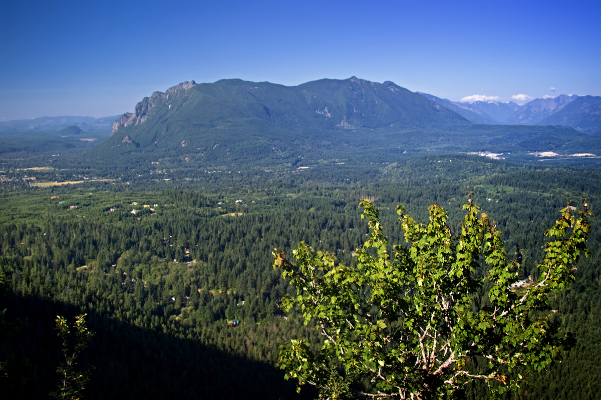
If you are building toward the traverse, the training hike most Seattle-side hikers use is Mount Si, the same relentless-uphill profile at a third of the distance and an hour from town, and Mailbox Peak is the harder version of the same idea. The wider picture of how these systems work is in permit lotteries explained.
The range this basin sits in is covered in North Cascades day hikes and one day in the North Cascades. The training hikes people use to get ready for Aasgard are in Mount Si and Mailbox Peak. The comparable permitted climbs elsewhere are in the Half Dome cables and Mount Whitney as a day hike.