Fish
Fish Fire
Fire Hike
Hike Bird
Bird


The Seattle hiking conversation is almost entirely about mountains, which is understandable when Rainier is on the skyline. It also means a lot of people spend Saturday driving.
The city itself has good walking, the foothills thirty minutes east have more trail than most people ever use, and the real mountains are ninety minutes out. The skill is matching the day you have to the right one of those three tiers, instead of defaulting to the furthest.
Tier one: inside the city
Discovery Park
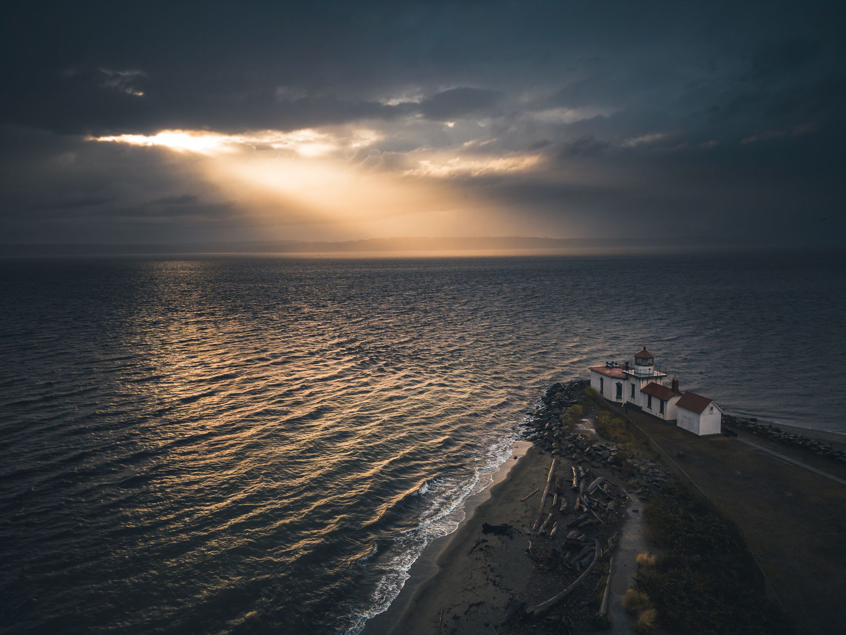
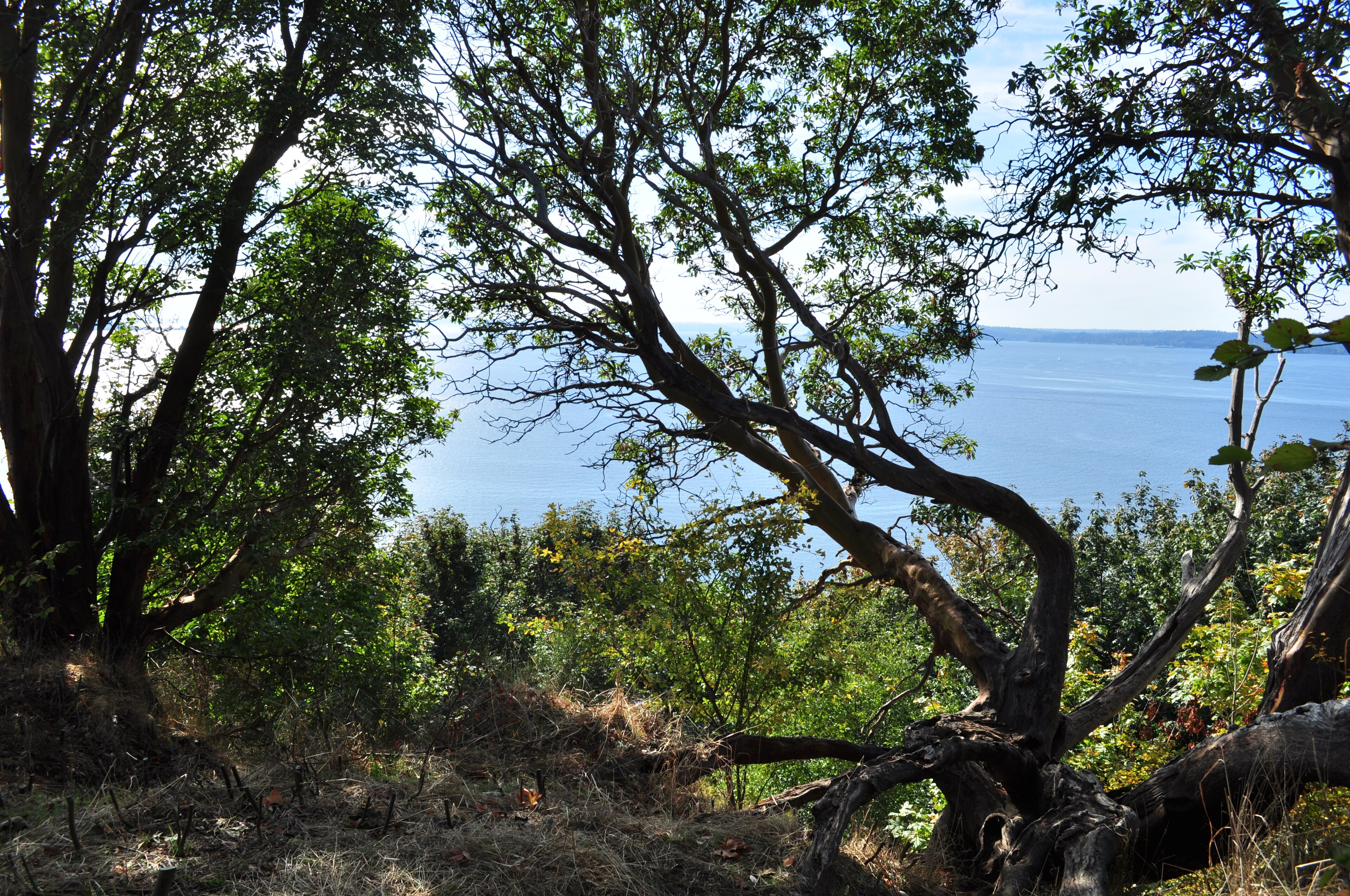
Seattle's largest park, on the Magnolia bluff, and the only place in the city where the walking feels like it is not in a city. The Discovery Park Loop is about 2.8 miles through forest and meadow and along bluffs looking west over Puget Sound, with the Olympics on the far side and Rainier off to the south on a clear day. The loop is the headline, but the better move is dropping off the bluff to the beach and the West Point Lighthouse, which turns it into a longer and much more varied walk.
It is a former military post, Fort Lawton, which is why the trail network is odd and the open ground is so generous. It is also 534 acres of tidal shoreline, madrona and meadow twenty minutes from downtown, and it deserves to appear in your weekend planning more than once a year.
The rest of the in-city network
Seattle's park system is better than its reputation and most residents use perhaps three of them. Seward Park on Lake Washington has an old-growth remnant, which is a strange and excellent thing to have inside a major city, plus a flat 2.4-mile shoreline loop. Carkeek Park gives a steeper, wilder, wooded ravine down to a beach with far fewer people than Discovery, and salmon-viewing in autumn. Lincoln Park in West Seattle offers bluff-top forest, a long saltwater shoreline path and views across the Sound to the Olympics, again with much less traffic.
Further in, Washington Park Arboretum is the one to walk when the weather is bad and you want something beautiful for an hour. Magnuson Park on Lake Washington is flat, open, and the best of the lot for a dog. Interlaken Park and the Ravenna Park ravine are small wooded corridors that feel improbably remote for being surrounded by houses, and both are excellent for a weekday hour. Schmitz Preserve Park, also in West Seattle, is another old-growth remnant, small but real, and almost nobody outside the neighborhood knows it exists. The Burke-Gilman Trail is not a hike, but a long walk on it beats a bad drive and it connects to enough parks to build a proper day around.
These are walks rather than hikes, and that is the point. They are what a weekday evening or a gray Sunday is for, they are all reachable by bus, and none of them require a pass, which makes them the correct answer far more often than Seattle hikers admit.
Top Ten Day Hikes from SeattleTier two: the Issaquah Alps, half an hour east
This is the tier Seattle under-uses, and it is the one that solves most weekends.
Cougar Mountain
Roughly thirty minutes from downtown and holding around 36 miles of trail through mossy second-growth forest, ferns and old coal-mining ground. There is no big summit view, which is exactly why it is quiet. What Cougar is for is getting a real two or three hour hike in without committing a whole day, and doing it in weather that would make a ridge miserable, because the forest canopy makes rain tolerable.
Tiger Mountain and Poo Poo Point
Poo Poo Point from the Tiger Mountain trailhead is about 7.4 miles, climbing to a paragliding launch with a wide view over Lake Sammamish and out to Rainier. This is the Seattle training hike for people who find Mount Si too crowded, and it delivers a genuine workout close in. The paragliders launching off the meadow are an unreasonably good lunch spectacle.
Rattlesnake Ledge
About 4 miles round trip, steep and short, to a rock ledge above Rattlesnake Lake with the Snoqualmie Valley laid out below and Mount Si across the way. It is deservedly popular and therefore very busy on weekends, and it is also the single best short payoff-per-mile hike within an hour of the city, excellent on a weekday evening in summer.
Tier three: real mountains, ninety minutes out
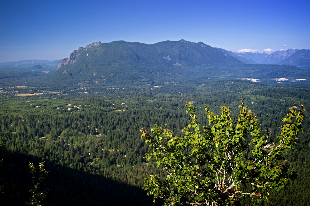
At the far edge of a comfortable day trip, the Cascades proper begin. Mount Si is the archetype at eight miles and 3,150 feet from North Bend, about 45 minutes from Seattle, and it is the mountain Seattle trains on. Mailbox Peak is the harder, meaner version, and Mount Teneriffe is longer and quieter than either.
The honest note about this tier is parking. These trailheads fill before 8:00 am on clear weekends and the lots get patrolled for passes, so tier three rewards early starts and midweek days in a way that tiers one and two do not.
Which tier, and when
A rough decision rule works. Two hours free, or bad weather, means tier one: Discovery, Seward, Carkeek, with no driving, no parking problem and no pass. Half a day, or a marginal forecast, means tier two: Cougar for forest and rain, Poo Poo Point for a climb, Rattlesnake Ledge for a quick view, all thirty to sixty minutes out. And a full day with a good forecast and an early alarm means tier three, or keep driving to the North Cascades.
The mistake is spending tier-three effort on a tier-two day, arriving at a full trailhead at eleven, and driving home.
Hiking in the Issaquah AlpsThe passes, which are not one pass
This catches people constantly, because the three tiers sit under three different landowners. Inside the city it is Seattle Parks, so no pass and no fee. The Issaquah Alps are mostly King County Parks and Washington State Parks, with Cougar Mountain a King County regional park and Rattlesnake Ledge managed in partnership with Seattle Public Utilities and King County, so requirements differ by site. Tier three is largely Washington DNR and Forest Service land, where Mount Si and Mount Teneriffe need a Discover Pass while many Forest Service trailheads need a Northwest Forest Pass instead.
They are not interchangeable and the lots are checked. Buying the wrong annual pass is a common and annoying Seattle mistake, and the answer is to check the specific trailhead rather than the tier. Guidepole Hike carries the managing agency and the pass it requires against each trailhead, which around here saves both the citation and the argument about which sticker was supposed to cover what.
The gear
Seattle hiking is a tiered system and the gear list has to work across all three tiers, which mostly means rain, traction and two different parking passes.
An annual Washington State Discover Pass, for the state park and Department of Natural Resources trailheads, which covers Mount Si, Mailbox Peak, Rattlesnake Ledge and most of the Issaquah Alps.
A Northwest Forest Pass, for the Forest Service trailheads further east on I-90 and Highway 2. These are two different passes for two different agencies and neither one covers the other, which is the most common parking citation in this region.
A waterproof-breathable rain jacket, because the season here is nine months long and the rain is persistent rather than dramatic.
Trail runners with grip, since the tread on the west-side trails is root, mud and wet rock, and stiff boots are more than most of these hikes need.
A headlamp, which matters here for a specific reason: from November through February it is dark by half past four, and the after-work hike culture in this city runs straight into that.
Kahtoola MICROspikes, for the tier-three trailheads, which hold snow from October through June at elevation while the city is green.
And an ORCA card, because several of the tier-one and tier-two trailheads are reachable by bus and the parking at all of them is worse than the bus.
Getting there without a car
Seattle is unusually good at this and it changes what a car-free weekend looks like. Tier one is entirely on bus routes, since Discovery Park, Seward, Lincoln, Carkeek and Magnuson are all reachable on Metro and several are walkable or bikeable from the Burke-Gilman. Tier two is patchier but workable, with some Issaquah Alps trailheads served by transit to Issaquah plus a walk or a short rideshare at the end, and the Tiger Mountain trailhead closer to town service than people assume.
Tier three has the useful one. King County Metro runs Trailhead Direct, seasonal shuttles from light rail stations directly to trailheads including Mount Si, roughly every thirty minutes on weekends and select holidays through the summer. Three dollars, no parking anxiety, from a train station to one of the best viewpoints in the Puget Sound basin. Check the current season's dates and, crucially, the last return trip. For a city where trailhead parking is the main source of hiking misery, this is under-used to a surprising degree.
Hiking here with kids or a dog
The tier system maps neatly onto both. With kids, tier one is the whole game: Discovery Park's beach, Carkeek's ravine and its autumn salmon, Seward Park's flat loop. In tier two, Rattlesnake Ledge is short enough for older children if they can handle sustained climbing, but it is steep and the ledge itself is a genuine drop that needs supervision.
With a dog the rules diverge sharply and it is worth knowing before you arrive. Seattle city parks require leashes and enforce them, with a handful of designated off-leash areas including a popular one at Magnuson. King County and state park trails in the Issaquah Alps generally allow leashed dogs. National park land does not, which matters as soon as you drive further afield, because a dog welcome on a national forest trail is prohibited on most national park ones an hour away.
Water is the other consideration on tiers two and three. There is none on most of these trails, and a dog climbing 3,000 feet in summer needs more than you would guess.
Seasons, in a city with one long gray season
Winter, November through March, is when the in-city and Issaquah Alps tiers matter most, because snow closes the high country while the foothills stay walkable, and Cougar Mountain in the rain under canopy is a real pleasure rather than a consolation. In spring the lower trails dry out first while the mountains hold snow, which makes it peak Rattlesnake Ledge and Poo Poo Point season.
Summer opens everything up and the calculation flips to beating the crowds and the parking rather than the weather. Autumn is the best all-round window, with the alpine still open, the foothills gorgeous, and the summer crowds gone.
The Seattle-specific advice underneath all of it is that the forecast downtown is not the forecast at the trailhead. The foothills catch more rain than the city and the Cascades catch more than the foothills.
What the city does not have
Worth naming honestly, because it shapes expectations. Seattle has no in-city elevation to speak of, since the steepest thing inside the city limits is a bluff and a bluff is a couple of hundred feet. If you want vertical you are driving, and that is the deal.
The city also has very little in the way of genuine wilderness feel, because Discovery Park comes closest and you can still hear the ferries. What the in-city parks offer instead is saltwater, big trees, and the particular Pacific Northwest quality of a forest that is wet nine months a year, which is its own thing and worth valuing rather than measuring against mountains. And the trails are soft, being roots, mud and packed dirt rather than rock, which is easy on the legs and hard on shoes and is why grip matters more than ankle support around here.
Matching the day to the tier
Use the city more than you do. Discovery Park is 534 acres of bluff and beach twenty minutes from downtown and most Seattle hikers visit it once a year. Use the Issaquah Alps for anything that is not a full day, and stop treating a two-hour drive as the price of entry for a real hike. Save tier three for early starts and good forecasts, and check which pass the trailhead wants.
Then, two or three times a year, keep driving past all of it.
The archetypal tier-three day is covered in full here: Mount Si. If you have the whole day and the highway is open, the North Cascades are the next step up. And because the pass rules differ trailhead by trailhead around here, how to check what a trail requires is worth ten minutes before you drive.
One last Seattle-specific thing: those beaches at the bottom of Discovery Park and Lincoln Park are fishable. Sea-run cutthroat and coho come through within casting distance of the sand, which makes a beach walk and a fly rod a good combination on a gray morning. Fly fishing Puget Sound beaches covers the tides and the spots, and how to fish Seattle is the wider city guide.
The two hills everybody trains on are in Mount Si and Mailbox Peak. The parks within reach for a long day are in one day at Mount Rainier, one day in the North Cascades and one day in Olympic National Park. The permit lottery for the range's most famous basin is in the Enchantments permit lottery.