Fish
Fish Fire
Fire Hike
Hike Bird
Bird


The most common wrong assumption in hiking is that a trail on a map is permission to walk it.
It is not. A line on a map is a record that a path exists. Whether you may legally set foot on it depends on who owns the ground it crosses, what rights the public holds over that ground, and what the managing agency permits: three separate questions, none of which the map answers.
Most of the time this never matters. You drive to a Forest Service trailhead, park, and walk, and every part of that is unambiguous. But the exceptions are more common than people think, and they cluster around exactly the trails hikers most want: the popular ones near towns, the ones reached down a dirt road, and the ones where public land sits behind a fence.
The four questions, in order
The first is who owns the land the trail crosses. Not the trail, the land, because a trail can cross four ownerships in a mile and the tread itself carries no status independent of the ground under it.
The second is which agency, if it is public, and what their rules are. Public land is not one thing. Rules on dogs, camping, firearms, drones, bikes and passes differ sharply between the National Park Service, the Forest Service, the BLM, Fish and Wildlife, state parks, state trust land, and county or city open space. A dog that is welcome on a national forest trail is illegal a mile away in a national park.
The third is whether, if it is private, there is a public right to be there. Sometimes there is. Easements, prescriptive rights, deeded public access and open-access agreements with timber companies all create legitimate public passage over private ground. These are real rights rather than favors, but they are also specific and they can end.
The fourth is whether you can legally get to it. This is the one people skip, and it is the one that catches them.
Public land you are not allowed to reach
There is a large category of American public land that is yours and unreachable: parcels entirely ringed by private property with no public road, trail or easement in.
The scale is not marginal. Mapping work by the Theodore Roosevelt Conservation Partnership and onX identified about 16.42 million acres of landlocked local, state and federal land across 22 states. West of the Rockies alone, roughly 9.53 million acres of federal land has no legal public access by road, and more than 6.35 million acres of state land across 11 western states is landlocked. Montana by itself accounts for around 1.52 million acres, and Wyoming for about 3.05 million.
Much of this traces to nineteenth-century railroad land grants, which handed out alternating one-square-mile sections and left a checkerboard where public and private squares touch only at corners.
Corner crossing, and why the recent ruling probably does not help you
That checkerboard produced a real legal question: may you step diagonally from one public square to another at the shared corner, without touching the private ground on either side?
In Iron Bar Holdings v. Cape, the Tenth Circuit held that it is lawful to corner-cross on foot provided you do not physically touch the private land, reasoning that the federal Unlawful Inclosures Act of 1885 overrides a state-law right to exclude from airspace. The Supreme Court declined to hear the appeal, leaving the decision standing, and it potentially opens some three million acres.
Read the geography carefully. The Tenth Circuit covers Wyoming, Colorado, Utah, New Mexico, Kansas and Oklahoma. It does not cover Washington, Oregon, California, Montana, Idaho or Tennessee, and Montana's 1.52 million landlocked acres sit in the Ninth Circuit, entirely outside that ruling.
So a widely reported decision that reads like a national green light applies in six states, none of which are the ones this guide is otherwise about. Outside the Tenth Circuit the question remains unsettled and corner crossing may still be treated as trespass. If you are not in those six states, do not rely on it. This is a summary of a developing area of law rather than legal advice.
What Exactly Are We Talking About When We Talk About Public Lands?The trailhead is its own problem
A trail can be entirely on public land and still be effectively closed, because the way in crosses private ground. Plenty of public trailheads are reached by access roads crossing private or timber-company land, open by agreement rather than by right, and those agreements get withdrawn seasonally or permanently, usually over fire risk, logging or damage.
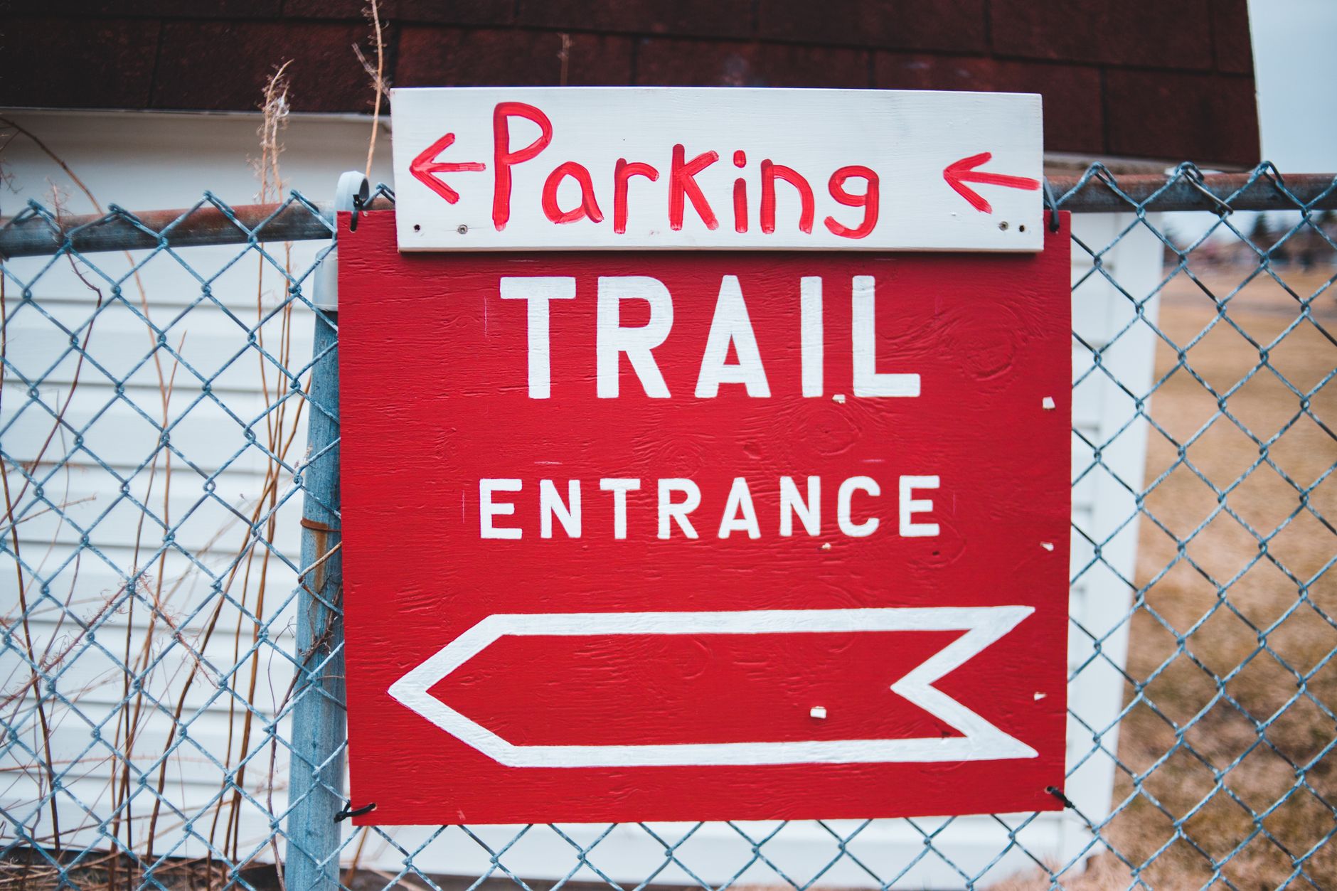
Parking is a separate legal question from walking. Roadside parking on a county right-of-way may be fine while the pull-out fifty yards on is someone's driveway, and popular trails near towns generate real friction here, with towing the usual response. Passes are not permission in the same sense but they produce the same practical outcome: Washington's Discover Pass covers state land including DNR conservation areas, a Northwest Forest Pass covers many federal trailheads, and the America the Beautiful pass covers federal recreation sites. They are not interchangeable, and lots get patrolled.
Private land you are allowed on
The picture is not simply public-good and private-forbidden. Some of the best hiking access in the Pacific Northwest sits on private ground, opened deliberately by the owner.
Industrial timberland is the big one. Large timber companies in Washington and Oregon own millions of acres and run permit programs that open some of it to recreation, often for an annual fee and sometimes with vehicle access limited to certain gates or seasons. This is legitimate legal access. It is also entirely at the company's discretion, closes for active logging and during high fire danger, and the permit terms are specific about where you may drive as opposed to walk.
Conservation easements and land trusts create another category, where a private owner has sold or donated development rights and public access is written into the deal, so the trail is on private land and your right to be there is real. State trust lands confuse people for a different reason, because they look like ordinary public land and are not managed like it: they exist to generate revenue for schools and other beneficiaries, which makes recreation a permitted secondary use rather than the purpose. In Washington these are largely DNR-managed and need a Discover Pass, and they close for logging operations more readily than a national forest would.
The common thread is that this access is real but conditional, so check the current terms rather than the terms from three years ago.
Reading the signs, literally
Before the research, the obvious: signage is legally meaningful, and in many states it does not have to be a sign at all. A number of states recognize paint marks as legal notice against trespass, where a stripe of a specified color and dimension on a tree or post carries the same weight as a posted sign. Purple is the common choice, though the color and rules vary by state and not every state has such a statute. Assume a deliberate paint mark on a boundary tree means something.
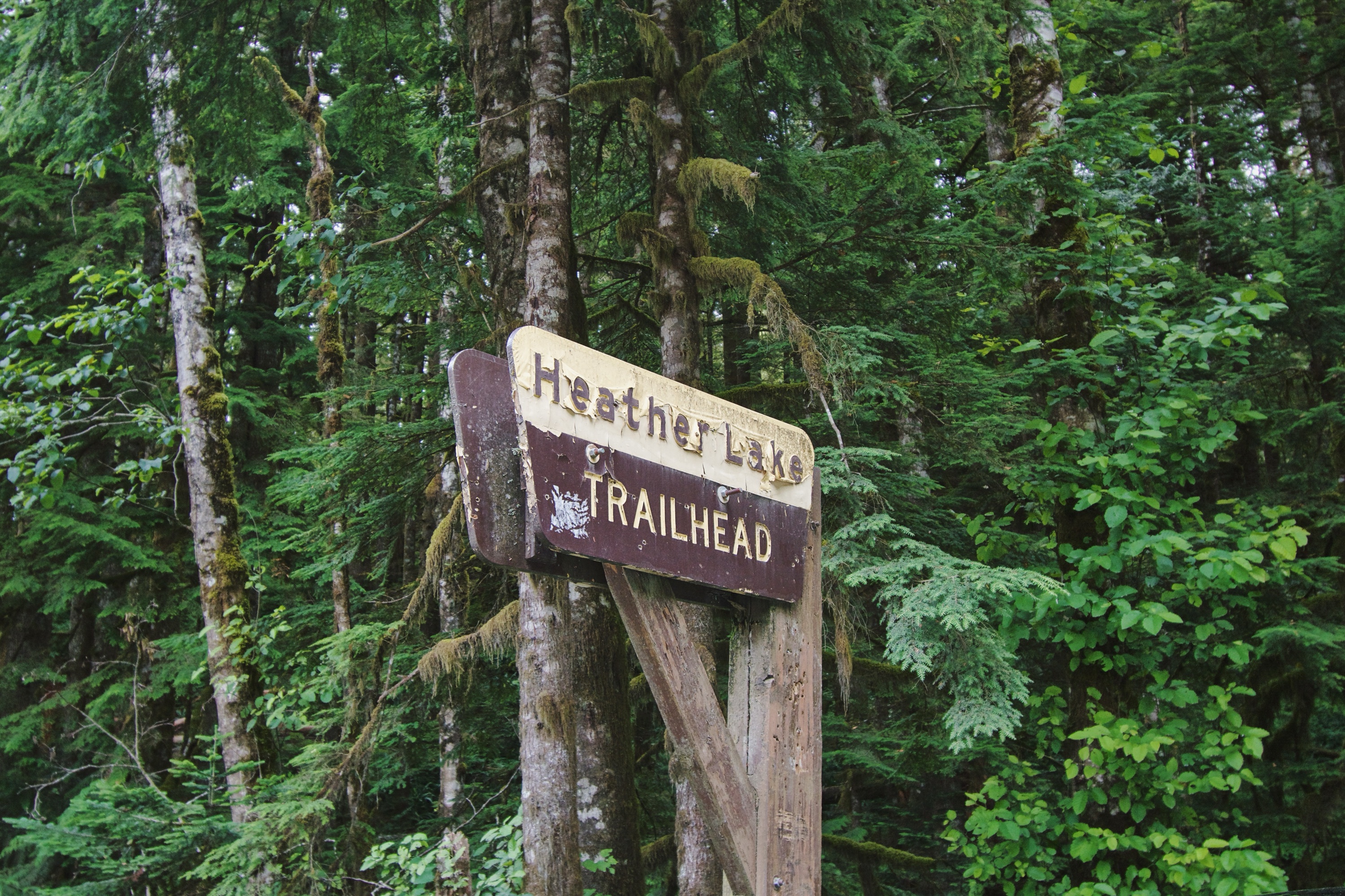
Gates, fences and no-trespassing signs mean what they say, and a gate standing open is not an invitation. Where a trail is public and passes through private ground on an easement, that is normally signed as such, because landowners have every incentive to make the corridor clear.
Discovering Private and Public Land BoundariesHow to check, before you leave
This is the whole point of this piece, and there are two ways to do it.
The short way is what we built Guidepole Hike for. It puts the trail, the trailhead and the land ownership underneath both on a single map, along with current closures, and gives you an access verdict before you drive out rather than after you have parked. The four questions at the top of this article are precisely the ones it is designed to answer in one look, because assembling that answer by hand from four separate government sources is exactly the friction that stops people bothering.
The long way takes about ten minutes and is worth knowing regardless, both because you will occasionally be somewhere we do not yet have trail data and because understanding where the answer comes from is what lets you judge whether to trust it.
-
Start with the managing agency's own map rather than a crowd-sourced trail app. Forest Service Motor Vehicle Use Maps, park maps, BLM surface-management maps and state agency maps show the ownership the agency itself recognizes, and if the agency does not think it manages that trail, that is your answer.
-
Check surface ownership. The federal Protected Areas Database of the United States, maintained by the USGS, is the national inventory of public land by manager, and it will tell you whether a parcel is federal, state or local and which agency holds it.
-
Then check the parcel. Nearly every county publishes an assessor or GIS parcel viewer showing property lines and owners. This is the authoritative local record and it is free, and if the trailhead pull-out belongs to a person rather than a road authority, the parcel map is where that shows up.
-
Read the alerts page. Agency closure notices are the single most current source and the most ignored, since trails close for fire, storm damage, logging, wildlife and construction, often at short notice.
-
Check the date on everything. A trip report from four years ago describing an open gate is not evidence about this weekend.
The gear
Answering the access question is mostly a matter of carrying the right documents and the right map layer, so most of this list is not physical.
An annual Washington State Discover Pass, if you hike in Washington, which covers state parks, Department of Natural Resources land and Fish and Wildlife water access sites. Three agencies, one pass, and it is the most common citation in the state.
An America the Beautiful interagency annual pass, which covers entrance and standard amenity fees across the Park Service, Forest Service, Bureau of Land Management and Fish and Wildlife Service. Eighty dollars, and it pays for itself in two or three park visits.
A Northwest Forest Pass, which the interagency pass mostly supersedes but which still matters at some day-use sites.
Offline agency maps on your phone, downloaded at home, since the ownership question has to be answerable at the gate where there is no signal.
A mapping app with a public lands layer, which is the actual tool. Being able to see parcel boundaries and ownership over aerial imagery turns this from a guess into a check.
A paper county parcel printout for genuinely ambiguous access, which sounds excessive until you are talking to somebody who says the road is theirs.
And ranger district phone numbers saved in your contacts, because the person who knows whether the gate is locked is a district office employee and not a website.
Designated wilderness adds a second layer
Even when land is unambiguously public and unambiguously open, a wilderness designation layers extra rules on top and they are stricter than the surrounding forest. Inside designated wilderness you can typically expect limits on group size, a ban on mechanized travel including bicycles and any wheeled cart, restrictions or outright bans on campfires, and increasingly a permit or quota system for both day use and overnight stays. Drones are prohibited, and dogs are usually allowed but often under stricter leash rules than the adjacent national forest.
The practical trap is that a trail can begin on ordinary national forest land, where your dog runs off-leash and your group of twelve is fine, and cross a wilderness boundary a mile in where neither is true. The boundary is often marked with nothing more than a small sign on a tree. So the question is not only whether this is public land but what its designation is, and whether that changes partway along your route.
When the answer is unclear
Sometimes you will do all of that and still not know, and a few defaults are worth holding. Uncertainty is not permission, and the burden does not sit with the landowner to make it obvious. Call the agency, because ranger district and state land offices answer the phone and will tell you plainly whether a route is open and whether the approach crosses private ground.
A well-worn path proves nothing on its own. Social trails across private land can be decades old and still be trespass, use does not create a public right by itself in most places, and where prescriptive rights exist they are established in court rather than by boots. And do not rely on the app, since crowd-sourced trail databases contain routes across private land, closed roads and trails that no longer exist. They are useful for finding candidates and useless as authority.
Why this is worth ten minutes
Partly self-interest, since trespass carries real consequences and a towed car ruins a day faster than weather does. Mostly it is that access is fragile. The landowners who allow a trail across their ground, and the timber companies who leave gates open, are doing so voluntarily and can stop, and every closure of that kind traces back to a pattern of behavior, whether parking across a gate, cutting a corner or ignoring a sign. The closure then lands on everyone who comes after.
The hiker who checks first is the reason the next person still gets to go.
One final note, because the question does not stop at the treeline. The same ownership analysis governs water. Whether you may legally stand on a riverbank, where the public right ends above the high-water mark, and whether the track down to the gravel bar crosses someone's field are the identical four questions asked about a different surface. Anglers deal with this constantly, and often with less signage to go on than hikers get. Fly fishing the Snoqualmie is a good illustration of a river where the water is public and a good deal of the bank is not.
The distinction between agencies, and why it changes what you may do, is in state park versus national forest and state natural areas explained. The passes themselves are in state park passes by state. The two hardest versions of this question are in corner crossing explained and state trust lands and access, and if a dog is coming, the rules change again in dog-friendly trail rules by agency.