Fish
Fish Fire
Fire Hike
Hike Bird
Bird


You are looking at a map, and within twenty miles you find a State Park, a State Natural Area, a State Recreation Area, a State Forest, and a State Wildlife Management Area.
They are all green. They are all public. They are administered, in several cases, by the same department. And they have materially different rules about dogs, bikes, camping, collecting, hunting, and in some cases whether you may leave the trail at all.
Nobody explains this anywhere, so here it is.
The spectrum, from loosest to strictest
The simplest way to hold all of it is as a spectrum running from recreation-first to preservation-first. The further toward preservation, the fewer things you may do.
-
State Recreation Area is the loosest end, usually built around a reservoir or a lake and often carrying boat ramps, swimming areas and off-road vehicle access. Facilities-heavy and nature-light, and the place where launching a boat, riding a machine or bringing a large group is legal.
-
State Park is the middle and the default. Recreation is the explicit mandate but the resource matters, so you get developed campgrounds, marked trails, visitor centers, and rules aimed at managing crowds.
-
State Natural Area is the strict end. These exist to protect a specific ecological or geological feature, whether an old-growth stand, a rare plant community, a cave system or a bog. Facilities are minimal by design, dogs are frequently banned outright, bikes usually are, camping almost always is, and staying on the trail is often a legal requirement rather than a courtesy.
-
State Reserve and State Natural Reserve are equivalent language in some systems, and often carry a reservation or capacity limit on top.
What the names get you
A State Natural Area is not a small state park. It is a different instrument. Tennessee is the clearest example, running a large Natural Areas program alongside its parks, and Radnor Lake in Nashville is the emblem: no dogs on most trails, no bikes, no jogging on the lake trail, and a level of enforcement people find startling until they understand it is not a park.
Washington's Natural Area Preserves go further still, and some are closed to general public access entirely, open only by permit for research and education. Washington state park rules explicitly exclude dogs from natural area preserves, which is how a dog-friendly system produces a dog-free patch in the middle of itself.
California's State Natural Reserves, of which Point Lobos is the famous one, combine strict rules with capacity management. Point Lobos runs a vehicle reservation system, prohibits dogs entirely, and asks visitors to stay on trail because the ground either side of it is the reason the reserve exists at all.
State Scenic Trail: a park shaped like a line
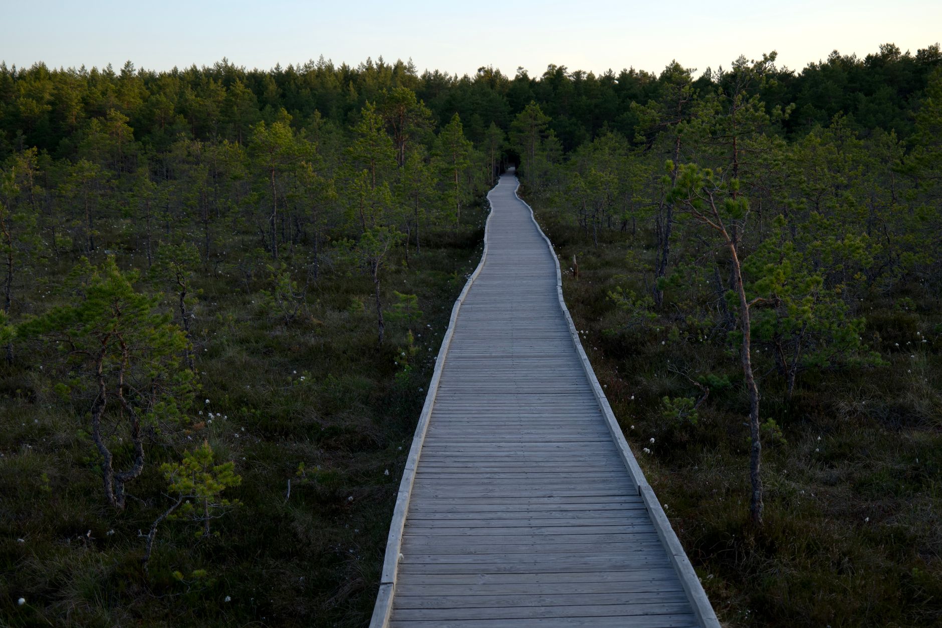
This is the designation that confuses people most, because it does not look like a park. A State Scenic Trail is a linear park, a corridor rather than a block, and Tennessee's Justin P. Wilson Cumberland Trail is the state's only linear park, planned to run over 300 miles from Cumberland Gap to the Tennessee River Gorge and assembled in segments over decades.
The practical implications are specific. It is discontinuous, because segments open as they are acquired and built, so "the trail" is really a set of finished pieces separated by gaps you cannot walk. It crosses everything, threading through other state parks, national park units, private easements, road crossings and occasionally a town, so the rules can change several times in a day's walk. Access is by trailhead rather than by gate, with no entrance station, often no facilities and frequently no signal. And it is still being built, which means the map you downloaded last year may be wrong in both directions as new sections open and others close for construction or land negotiations.
State Forest: the working one
State Forests are managed for timber production alongside recreation, and they are enormous in Washington in particular, where the DNR holds trust lands whose legal purpose is generating revenue for public institutions including school construction.
For a hiker this is good news and mixed news. The good is that they are usually free or covered by the same state pass, dogs are welcome, bikes and horses are welcome, dispersed camping is often permitted, and they are far emptier than the state park next door. The mixed is that they are logged, so a favorite trail can be inside a harvest unit next season, roads close and open for operations, and clear-cuts appear. That is not mismanagement, it is the stated purpose of the land. Washington's Tiger Mountain and Capitol Forest are the best-known examples, and a great deal of Seattle's everyday hiking happens on them.
State Wildlife Area: bought with hunters' money
Wildlife Management Areas are acquired and maintained largely through hunting and fishing license revenue and federal excise taxes on firearms, ammunition and tackle. Hikers are welcome on most of them and should know three things.
Hunting is the point, so in season people will be armed and legally so, and blaze orange is basic equipment. Seasonal closures are common, particularly during nesting, calving or wintering periods, and they are about wildlife rather than crowds. And dog rules are often seasonal too, permitted much of the year and restricted during ground-nesting bird season. The trails themselves are frequently unmarked two-tracks rather than built trail, and the parking is a gravel pull-out.
State Beach, State Historic Park, and the rest
State Beach is a coastal recreation designation, and the rules on dogs and fires vary wildly by unit, which makes it one of the least predictable labels on this list. State Historic Park protects a built or cultural resource such as a fort, a mining town or a mission, and the hiking there is usually incidental to the thing being preserved.
State Marine Park exists in Washington for island sites reachable only by boat, which are among the best and least-known camping in the state. And Conservation Area and Preserve appear in various systems and generally sit at the strict end of the spectrum.
Every Type of US National Park, ExplainedHow a piece of land ends up with its label
The designations look arbitrary until you know that most of them describe how the land was acquired as much as how it is managed. Donation with conditions is extremely common: a family gives an estate to the state on the condition that it stays undeveloped, and the result is a Natural Area rather than a park because the deed says so. Radnor Lake, Point Lobos and a great many eastern natural areas have this shape.
Purchase with dedicated funds carries the strings of the fund. Land bought with hunting license revenue or federal wildlife excise taxes must be managed for wildlife, which is why Wildlife Management Areas are what they are, and land bought with recreation bonds is expected to deliver recreation. Statehood land grants created the trust lands, because when these states entered the union Congress granted them sections of land to support schools and public institutions with a legal obligation to generate revenue from them, and that obligation is still binding, which is why the DNR logs its holdings and cannot simply turn them into parks.
Two smaller categories fill out the map. Failed development produced a surprising number of parks out of reservoirs, mining claims, railroad grades and resorts that went bankrupt and were bought cheaply, and federal surplus transferred old military land to states after the wars. So when you meet a State Natural Area with unusually strict rules and no facilities, it is usually not that an agency decided to be austere. Somebody handed over the land on that condition, decades ago, and the condition binds.
The gear
Reading a designation correctly is a map problem, and the rest of this list is what different designations turn out to require.
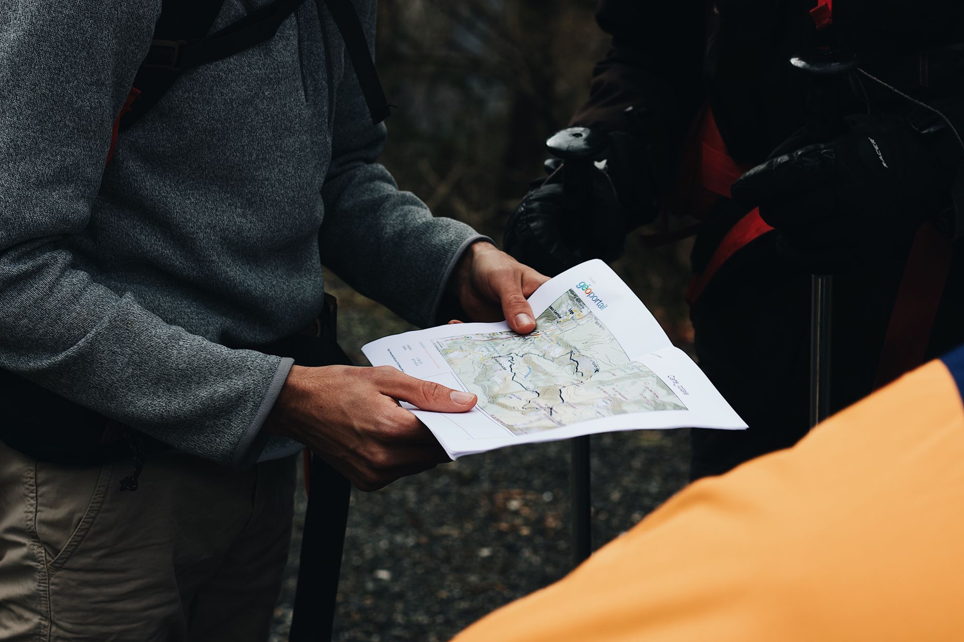
A map that shows designation rather than just green, which is the whole point. State park, state forest, state wildlife area and state natural area preserve are four different things with four different rule sets, and on most maps they are the same color.
Blaze orange, for state wildlife areas in particular. Those were generally bought with hunting license revenue and Pittman-Robertson excise money, hunting is the reason they exist, and autumn is not the season to assume otherwise.
A leash in the pack, since natural area preserves frequently prohibit dogs outright and wildlife areas frequently do not.
Offline maps, because these units tend to be small, unstaffed and poorly signed.
Current segment maps for linear designations, meaning state scenic trails, which are frequently incomplete. A state trail on a map may be a finished corridor in one county and a planned route in the next.
Sturdier footwear on wildlife areas, which are managed for habitat rather than for recreation and where the trail is often a two-track or a levee rather than a tread.
And patience with logging closures on state forests, which are working timber land, and where a road being closed for active harvest is the designation doing exactly what it says.
The designation changes what the place is for
This is the distinction that most affects what you experience. A State Park is managed so that a large number of people can have a good time without wrecking the place, which means trails built wide and durable, railed viewpoints, and a resource protected by directing people rather than excluding them. A Natural Area is managed so that a specific thing survives, and visitors are accommodated only insofar as they do not threaten it, which means narrow trails, sometimes deliberately unimproved, occasionally routed away from the very feature you came to see.
That difference shows up in ways people find frustrating until they understand it. A natural area may not tell you where the rare thing is, because orchid populations, cave entrances, raptor nests and archaeological sites are routinely left off public maps precisely to keep them alive. It is not obstruction, it is the mandate working as designed.
It also means the best natural areas are often modest to look at. A bog, a seep, a patch of prairie, a limestone glade: these protect botanical richness that is invisible unless you know what you are looking at, and they will never photograph like a waterfall. They are frequently the most interesting ground in a state and the least visited.
A rough field guide
Most of this is legible on arrival, before you read a single sign, and the label is the fastest available signal about what you are allowed to do.
-
A large paved parking lot, flush toilets and a boat ramp. Recreation Area, so the rules are loose, the crowd is large, and the hiking is incidental. This is the one for a swim, a boat, a big group and a barbecue.
-
A visitor center, a fee station, marked trails with mileage signs. State Park, middle of the road on everything, and the answer when you want a marked trail, a toilet, a campsite and a view.
-
A small gravel pull-out, a single kiosk, a narrow footpath and a list of prohibitions. Natural Area, so assume no dogs, no bikes, no camping, and stay on the path. Come here to see something rare and expect to be told very little about it. With a dog, it is a wasted drive.
-
A gate, a gravel road, no facilities and evidence of logging. State Forest, where dogs are fine, dispersed camping is often legal and solitude is excellent, provided you check whether the road is open and do not mind logging trucks. On a Saturday this beats a State Park by an enormous margin.
-
A dirt pull-out, a two-track, no signage beyond a boundary marker, and shell casings. Wildlife Area, which is empty country in autumn if you own a blaze orange hat.
-
A trailhead kiosk with a long linear map and no facilities at all. A Scenic Trail, so check which segments are open before you commit to a long walk through varied country.
Six words on a map, six different days out. The only real mistake is reading all of them as "park" and turning up with the wrong expectations, the wrong gear, or a dog that is not allowed out of the parking lot.
And if you cannot tell which one you are approaching, which is normal, because the signage assumes you already know, the managing agency and designation are exactly what Guidepole Hike surfaces for a trail, before the drive rather than at the gate.
The fee side of the same question is in six states, six systems, the federal comparison in state park, national forest, or wilderness, and the dog rules in the state parks that want your dog. For a linear park in practice, see the Cumberland Trail.
The federal counterpart of this taxonomy is in state park versus national forest. The access question underneath all of it is in is that trail public, and the hardest category to read correctly is in state trust lands and access. Passes are in state park passes by state, and dogs are in dogs in state parks. An example of a natural area that became a state park in its own right is in Savage Gulf.