Fish
Fish Fire
Fire Hike
Hike Bird
Bird


A phone is a superb navigation tool. It shows your position on a topo map in real time, which is something no previous generation of hiker had, and pretending otherwise is affectation.
It is also a small glass computer with a lithium battery, and it fails in exactly the conditions where navigation matters most: cold, wet, and a long way from a charger.
The answer is not to leave it behind. It is to stop treating it as the entire system.
Why phones fail on trail
Cold kills batteries. Lithium cells lose capacity sharply below freezing, and a phone showing 60 percent in your pocket can shut down within minutes of coming out into a cold wind. This is the most common failure and the one people find most surprising, because the battery indicator gives no warning at all.
Wet kills phones too, water resistance ratings notwithstanding, and touchscreens become unusable long before the phone dies, since a wet screen registers phantom taps and ignores real ones. Gloves make it worse. Searching for signal is the third drain, because in areas of marginal coverage the radio hunts continuously, and airplane mode with GPS still enabled roughly doubles usable battery life given that GPS works without any cell signal at all.
Then there is the physical failure nobody plans for. One drop onto rock is all it takes, and it usually happens when you take the phone out to check something. And underneath all of it sits the most common navigation failure of the lot, which is a map that was cached and then evicted, or a route saved to a service that needs connectivity to load it. None of this is an argument against phones. It is an argument for redundancy.
The layered system
Think of navigation as three layers, each of which works when the one above it fails.
-
The phone, with maps downloaded for offline use and the route loaded before you leave signal, airplane mode on and brightness down.
-
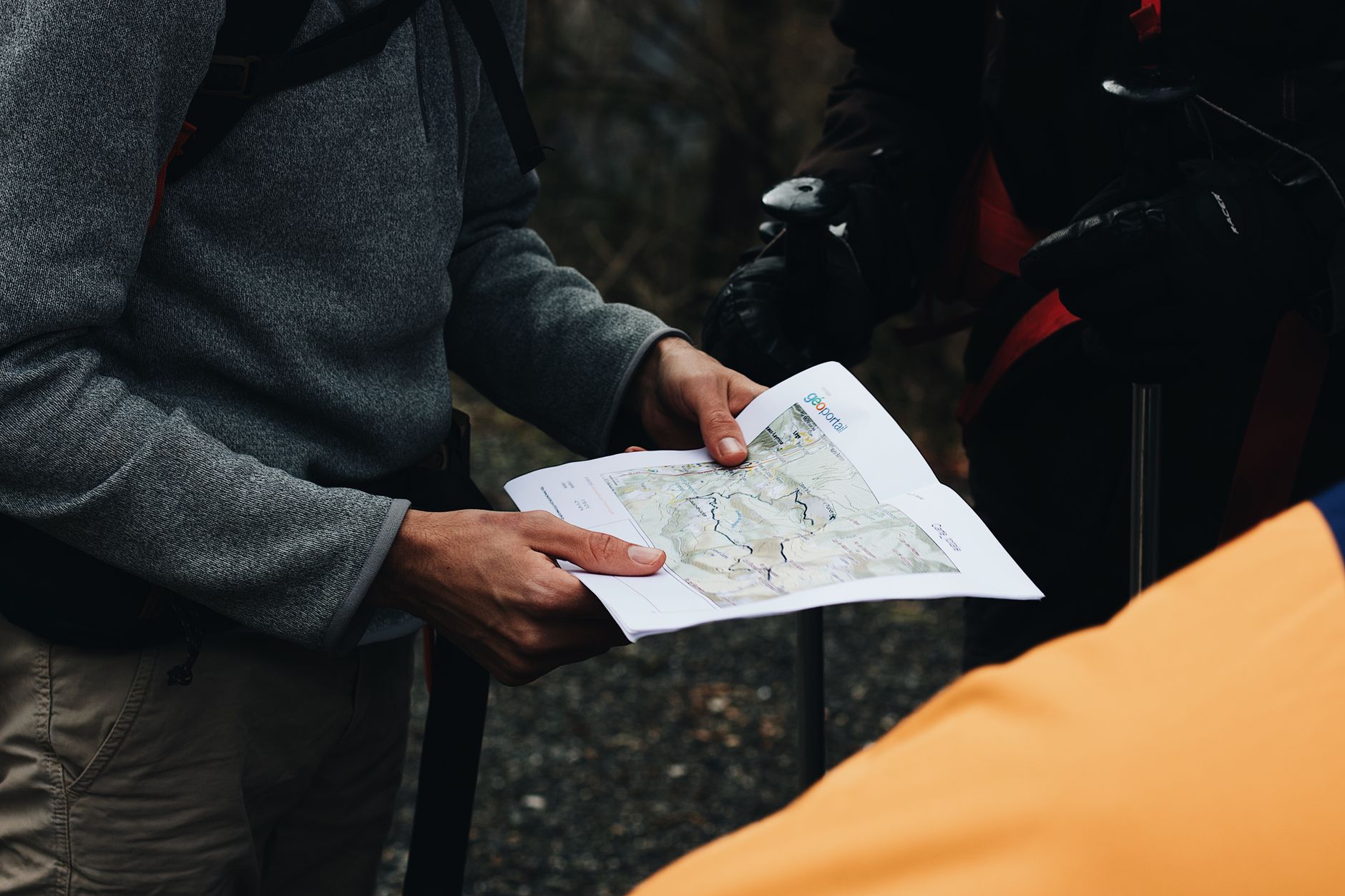
A paper map and compass, which need no battery, do not break when dropped, and work when wet. A printed topo of your area in a ziplock costs almost nothing and weighs nothing.
-
Your head, holding a rough mental model of the terrain, which direction you are traveling, and where the nearest road, drainage or ridge lies. This is the layer that prevents emergencies, because it means being lost is never a surprise.
Most people carry the first layer only, which is why a dead phone becomes a search-and-rescue callout rather than an annoyance.
Getting the phone layer right
-
Download the map before you leave home rather than at the trailhead, where signal is often marginal, and download a generous area well beyond your route, because if you go wrong you will be off the edge of a tight download.
-
Verify the download works by putting the phone in airplane mode at home and panning around the area. Caches expire and apps update.
-
Load the route as a track rather than a pin. A line to follow is far more useful than a destination marker.
-
Airplane mode with GPS on. GPS is receive-only and needs no signal, and turning off the cell radio stops the battery-draining hunt for towers.
-
Carry a power bank and keep the phone warm, in an inside pocket against your body rather than the outside of a pack, in cold conditions.
-
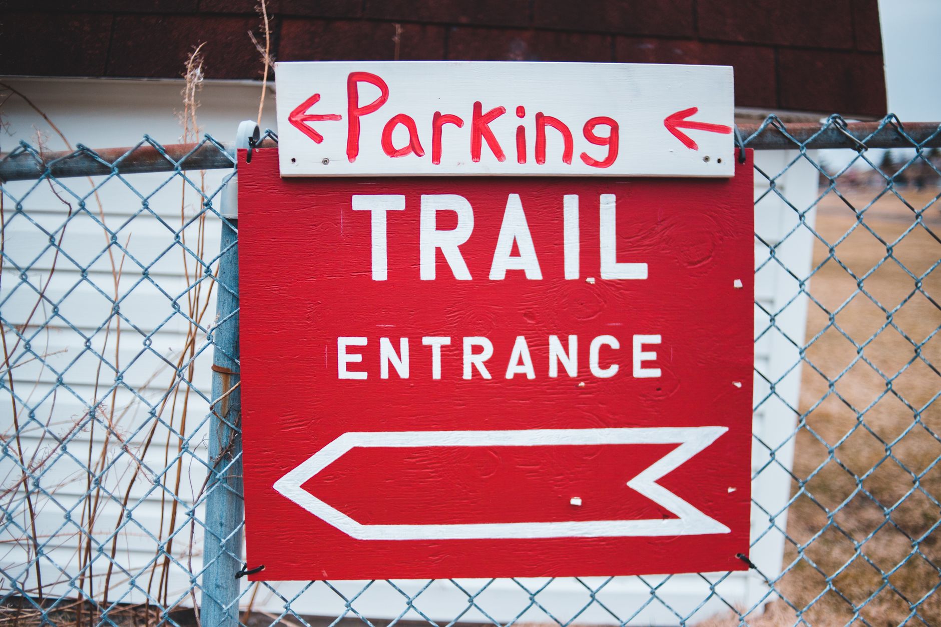
Take a photo of the trailhead map board. Free, instant, and often the clearest overview of the trail network you will get.
The paper layer, minimally
You do not need to be a competent land navigator to benefit enormously from a map and compass. You need about four things.
-
Orient the map. Put the compass on it and turn the whole thing until the map's north lines up with magnetic north, and now the map matches the world, with features on paper sitting in the direction they lie. This alone solves most confusion.
-
Read contours. Tightly packed lines are steep, wide spacing is gentle, closed circles are summits, and Vs pointing uphill are drainages. Being able to look at a valley and match it to the map is the core skill.
-
Take a bearing. Point the compass at a visible feature, rotate the housing until the needle is boxed, read the number, and now you can walk that direction even in cloud.
-
Know your declination. Magnetic north is not true north and the difference varies by location, currently a substantial angle in parts of the American West. Most compasses can be adjusted once for your region, and ignoring it puts you progressively wrong over distance.
An afternoon in a park with a map is enough to learn all four, and practicing where it does not matter is what makes the skill available under stress. The exercise worth doing after that is to navigate a known trail by map alone with the phone in your pocket, checking afterward rather than during, which tells you quickly whether you can read terrain or have only been following a line. Learning to estimate distance by time is the other cheap skill: knowing that you cover roughly two and a half miles an hour on decent trail lets you convert elapsed time into distance traveled, which is the core of dead reckoning and works with no instruments at all.
Backcountry Navigation: How to Use a Map with a CompassHandrails, catching features, and aiming off
These are the techniques that make navigation robust rather than precise, and they matter more than fancy compass work. A handrail is a linear feature you follow, meaning a ridge, a stream, a valley, a fence line or a road, and if you know a creek runs parallel to your route on the left you cannot get badly lost while you can hear it. A catching feature is something across your path that tells you when you have gone too far, so knowing that a road lies two miles beyond your turning means an overshoot is self-correcting rather than open-ended.
Aiming off is the third and the least intuitive. It means deliberately navigating to one side of a target so you know which way to turn when you hit the catching feature. If a bridge sits on a river and you aim straight at it and miss, you do not know whether to go left or right, whereas if you aim deliberately upstream, hit the river, and turn downstream, you arrive with certainty. These three were developed for compass-and-map work and they remain the most useful mental tools in an age of GPS, because they build a model of the terrain rather than a dependence on a dot.
The habit that ties them together costs nothing. Check the map at every junction and at intervals in between, roughly every twenty minutes, so that when something goes wrong your last known position is minutes old rather than hours. Look behind you, because terrain looks completely different in reverse and the junction that was obvious on the way out can be invisible on the way back. Note the time at landmarks, which gives you a pace and lets you estimate distance when you cannot see anything. And track the general direction, since simply knowing you have been walking broadly northeast all morning bounds the problem enormously.
Worth separating two questions that a moving blue dot tends to blur together. Knowing where you are is not the same as knowing whose land you are on, and the moment you leave the tread, in a drainage or on a cross-country line back to a road, the boundary question becomes live in a way it never was on the trail. Guidepole Hike carries the ownership and access layer under the terrain, so an off-trail line that looks clean on a topo can be checked against who owns the ground it crosses before you commit to walking it.
If you do get lost
The standard advice is standard because it works.
-
Stop. The instinct is to keep moving until you find something recognizable, and that instinct is wrong and is how people end up miles from anywhere.
-
Think. When were you last certain of your position, how long ago was that, and roughly how far and in what direction have you traveled since?
-
Observe. What can you see, whether a drainage, a ridgeline, the sun's position or a distant peak, and how does it match the map?
-
Plan, then act deliberately, ideally by backtracking to your last known point.
Backtracking beats bushwhacking almost always. Going downhill and following a drainage is the folk advice and it is frequently wrong in mountain terrain, because drainages cliff out, fill with brush and lead away from roads. If night is coming or weather is closing in, stop and shelter rather than pressing on, since most people found by search and rescue are found close to where they were last seen, and being warm and stationary is a far better position than exhausted and further away.
A satellite messenger, whether an inReach, a Zoleo or a phone with satellite SOS, is the single biggest change in backcountry safety in a generation. It is not navigation and it is not a substitute for competence, but it converts a serious situation into a manageable one, and in country where you will have no signal for days it is difficult to justify not carrying one. Tell someone your plan regardless, meaning where you are going, your route, and when you will be back, because a specific plan left with a specific person is what turns a missing-hiker search from a regional problem into a targeted one.
The gear
The whole argument of this article is that you want layers of redundancy rather than one good tool, and the gear list is that argument as a list.
A printed topo map in a ziplock, which weighs almost nothing and cannot run out of battery. It does not need to be the whole quadrangle; the relevant square at a useful scale is enough.
A baseplate compass with adjustable declination, and the fifteen minutes it takes to learn to set the declination. In the western states the difference between true and magnetic north runs to well over ten degrees, which over two miles is a long way off.
Offline maps downloaded at home rather than at the trailhead, since the download is the thing that fails when there is no signal.
A power bank kept warm, because lithium batteries lose capacity fast in cold and a phone in an outside pocket in winter can go from sixty percent to dead in twenty minutes.
A satellite communicator, which is the last layer and the one that matters when the others have failed.
A headlamp with spare batteries, for the same reason it is on every other list here.
And a written plan left with somebody, which is free, takes two minutes, and is the difference between a search that starts at a trailhead and one that starts with a county.
Winter and whiteout
Everything above gets harder when the ground is white and the visibility is short. Trails disappear entirely under snow along with the switchbacks that made the gradient reasonable, so route-finding becomes terrain-reading rather than path-following. Depth perception fails in flat light, and in cloud on snow the slopes, drops and rises become invisible, so people walk off things they would see clearly in sunshine.
Tracks mislead in winter exactly as they do in spring, with the added problem that fresh snow erases the evidence of anyone coming back. And compass work matters more than at any other time of year, because handrails vanish and catching features are harder to identify, which is where taking and following a bearing stops being a party trick.
The practical response is to lower your ambition sharply in poor visibility, turn around earlier than feels necessary, and treat any whiteout on unfamiliar ground as a reason to stop rather than a navigation puzzle to solve.
Putting it together
Download the map and the route at home, verify it in airplane mode, and keep the phone warm and off the cell network. Carry a paper map and a compass and learn the four things that make them useful. Photograph the trailhead board. Then navigate with handrails and catching features rather than with a dot, check the map often enough that your last known position is always recent, and look behind you at junctions.
The goal is not to never lose the screen. It is to make losing the screen boring.
The conditions that most often defeat navigation are covered in shoulder season and snowline hiking and hiking in wildfire smoke, both of which erase the visual references you were relying on. The access layer of the same map is in is that trail public, and the places in this library where there is genuinely no coverage at all are described in Malheur National Wildlife Refuge and one day in the North Cascades.