Fish
Fish Fire
Fire Hike
Hike Bird
Bird


Walk a long enough day in the West and you will cross four or five different kinds of public land without being told once.
The trail does not change. The trees do not change. What changes is the legal framework you are standing in, and with it whether your dog is allowed, whether you can ride a bike, whether you needed a pass to park, whether somebody may legally be shooting a few hundred yards away, and whether this hillside will be logged in three years.
Almost none of this is marked on the ground. Here is what each category means.
The mandates are different, and everything follows from that
The single most useful thing to understand is that these agencies were created to do different jobs, and the rules are downstream of the job.
-
The National Park Service exists to preserve. Its founding legislation directs it to conserve scenery and wildlife and leave them unimpaired for future generations, which is why national parks are the most restrictive land you will hike on: no hunting, no logging, no mining, dogs almost nowhere, collecting nothing, and bikes only on roads.
-
The Forest Service exists for multiple use. National forests are managed simultaneously for timber, grazing, mining, water, wildlife and recreation, and recreation is one item on that list rather than the point of it. That is why national forest is so much looser, with dogs fine, dispersed camping generally legal, hunting normal, and active logging operations and grazing cattle to be met along the way.
-
State parks exist for recreation, explicitly. They are usually the most developed land of the lot, with the best facilities and rules aimed at managing crowds rather than preserving wilderness.
-
State trust lands, of which Washington's DNR is the biggest example, exist to make money for schools. That is not a cynical reading, it is the legal mandate, and revenue from timber harvest on those lands funds school construction. It is why some of the best hiking near Seattle sits on ground that is periodically clear-cut, and why nobody is being negligent when that happens.
-
State wildlife areas exist to produce and protect game, funded substantially by hunting and fishing licenses. Hikers are guests on land bought with hunters' money, which is worth remembering in October.
-
BLM land is multiple-use like the Forest Service, generally drier, generally emptier, and generally the least regulated ground you can legally walk on.
What changes, item by item
-
Dogs. Banned on nearly all national park trails, allowed almost everywhere on national forest and BLM, and usually allowed on state park trails, though California is a major exception where many units prohibit dogs beyond paved areas. Wildlife areas often allow dogs but restrict them during nesting season.
-
Bikes. Allowed on most non-wilderness Forest Service and BLM trails, restricted to designated trails in most state parks, roads only in national parks, and prohibited entirely in designated Wilderness along with every other mechanized or wheeled device.
-
Camping. Dispersed camping, meaning pitching where you like, is generally legal on national forest and BLM land and generally illegal in state and national parks, where you camp in a designated site or with a backcountry permit. Note that a national forest campground is a different thing again: the developed campground charges a fee and has rules while the dispersed camping a mile up the road is free and does not, and both are the same forest.
-
Fees. Federal passes cover federal land, state passes cover state land, neither covers the other, and county parks answer to neither. Wilderness permits and trailhead parking passes are separate things on top of that, so you can need both, or either, or neither, on the same trail. The money side is worth its own explanation in how the six state pass systems work.
-
Hunting. Legal in season on national forest, BLM and state wildlife areas, and generally prohibited in state parks and national parks. If you hike in autumn on multiple-use land, wear blaze orange and accept that this is a legitimate use of the place.
-
Collecting firewood, mushrooms, antlers and rocks is often permitted with limits on national forest and BLM and prohibited in parks. The rules on mushrooms in particular vary enormously and are worth checking before you fill a bag, and moving firewood between areas is restricted almost everywhere because of insect pests.
-
Drones. Prohibited in national parks, prohibited in Wilderness, variable everywhere else. The rules follow the agency rather than the airspace: the FAA governs the sky, but the Park Service and Wilderness rules prohibit launching or landing from the ground beneath it.
-
Target shooting. Legal in many places on national forest and BLM land subject to restrictions, which surprises hikers who assume public land means quiet.
-
Hours. State parks frequently close at night, gates lock, and a car left inside after hours is a problem. National forest and BLM trailheads generally do not close at all.
Wilderness is a layer, not a place
This is the most commonly misunderstood category. Designated Wilderness is not an agency, it is a legal overlay created by the Wilderness Act of 1964 and applied on top of land that is already national forest, national park, BLM or refuge. The managing agency stays the same and the rules tighten.
Inside a Wilderness boundary there is no mechanized transport of any kind, meaning no bikes, no carts, no chainsaws and no wheelbarrows, alongside a long-running argument about whether that includes wheelchairs, which it does not. There are no permanent structures and no motor vehicles, group size limits usually around twelve, and often a permit requirement and sometimes a quota, and those limits apply to informal groups as much as organized ones.
The trail crews maintaining Wilderness trails clear blowdown with crosscut saws because power tools are prohibited, which is one reason Wilderness trails are cleared later in the season than the ones outside the line. And the boundary itself is frequently unmarked, or marked by a single small sign that has fallen over, so you can be inside one without knowing.
National monument is also not a category
Another source of confusion. National monuments can be managed by the Park Service, the Forest Service or the BLM depending on how they were designated and by whom. San Gabriel Mountains National Monument is Forest Service land, Devils Tower is Park Service, and Grand Staircase-Escalante is BLM.
So "national monument" tells you the land was given special protection by presidential proclamation or act of Congress. It does not tell you the rules. Find the managing agency underneath it.
Here's Who Manages Your Public LandsWhere the categories came from
A short history makes the whole thing easier to remember, because the order these agencies appeared in explains why their powers overlap so awkwardly.
The Forest Service came first, in 1905, out of a nineteenth-century panic about timber supply and watershed destruction, and its founding purpose was to keep forests productive in perpetuity, meaning conservation in the sense of wise use rather than preservation. Gifford Pinchot, its first chief, was explicit about the distinction and fought about it publicly with John Muir. The National Park Service came in 1916, eleven years later, and Muir's side of that argument won inside its boundaries, with the Organic Act directing it to leave things unimpaired. The two agencies have had a slightly prickly relationship ever since, and a good deal of land has moved from one to the other.
State park systems mostly date from the 1920s and 1930s, and the single biggest reason so many of them exist is the Civilian Conservation Corps. Between 1933 and 1942 the CCC built hundreds of state parks from scratch, including the trails, the shelters, the bridges and the stone lodges, so if you have hiked a state park in these six states and admired the stonework, you have probably been looking at Depression-era relief work.
The BLM was created in 1946, merging the General Land Office and the Grazing Service, and inherited everything nobody else had claimed. BLM land is largely the residue of the public domain after homesteaders, railroads, the Forest Service and the Park Service had taken what they wanted, which is why its holdings look scattered and arbitrary on a map and why they skew dry. Designated Wilderness arrived last, in 1964, deliberately designed as an overlay rather than a new agency precisely so that Congress could apply it across all of the above without reorganizing the government.
The mosaic problem
None of this would matter much if these categories came in large simple blocks. They do not. A single ridge in the Cascades can carry Forest Service land, a Wilderness overlay on part of it, a state DNR parcel, a county park at the bottom, and private timber company ground with a public access easement, all within a few miles and all looking identical from the trail.
The checkerboard is often literal. Nineteenth-century railroad land grants handed alternating square-mile sections to railroad companies across much of the West, and the resulting pattern survives today as alternating public and private squares on the map, with whole trail systems threading through it.
This is the practical reason to know your land manager before you leave the house rather than at the trailhead. Guidepole Hike shows which agency a trail sits under and where the boundaries fall, which turns a question you cannot answer from the ground into one you answer before you drive.
The gear
Knowing which agency's ground you are standing on is mostly a mapping problem, and the rest of this list is the things that different answers require.
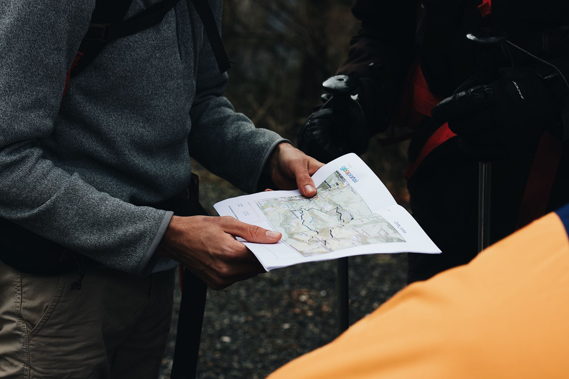
An offline map with land ownership layers, which is the tool that answers the question. Green on a paper map means forested, not public, and the two are routinely different.
Blaze orange, for the autumn, because national forest and Bureau of Land Management ground is hunted and national park ground generally is not. Which side of an invisible line you are on decides whether it matters.
Both a federal and a state pass, since the mosaic means a single day frequently crosses between them.
A leash, in the pack whether or not you use it, because the rule changes at the boundary and most boundaries are unsigned.
Bear spray on multiple-use land, where the density of both bears and people is different from inside a park.
A printed copy of the local rules for whichever unit you are visiting, since campfire restrictions, dispersed camping rules and group size limits all vary by unit and by season rather than by agency alone.
And patience with gates, which is the practical texture of multiple-use land. A locked gate on a forest road is usually about mud, logging or elk rather than about you, and it is generally temporary.
How to tell where you are
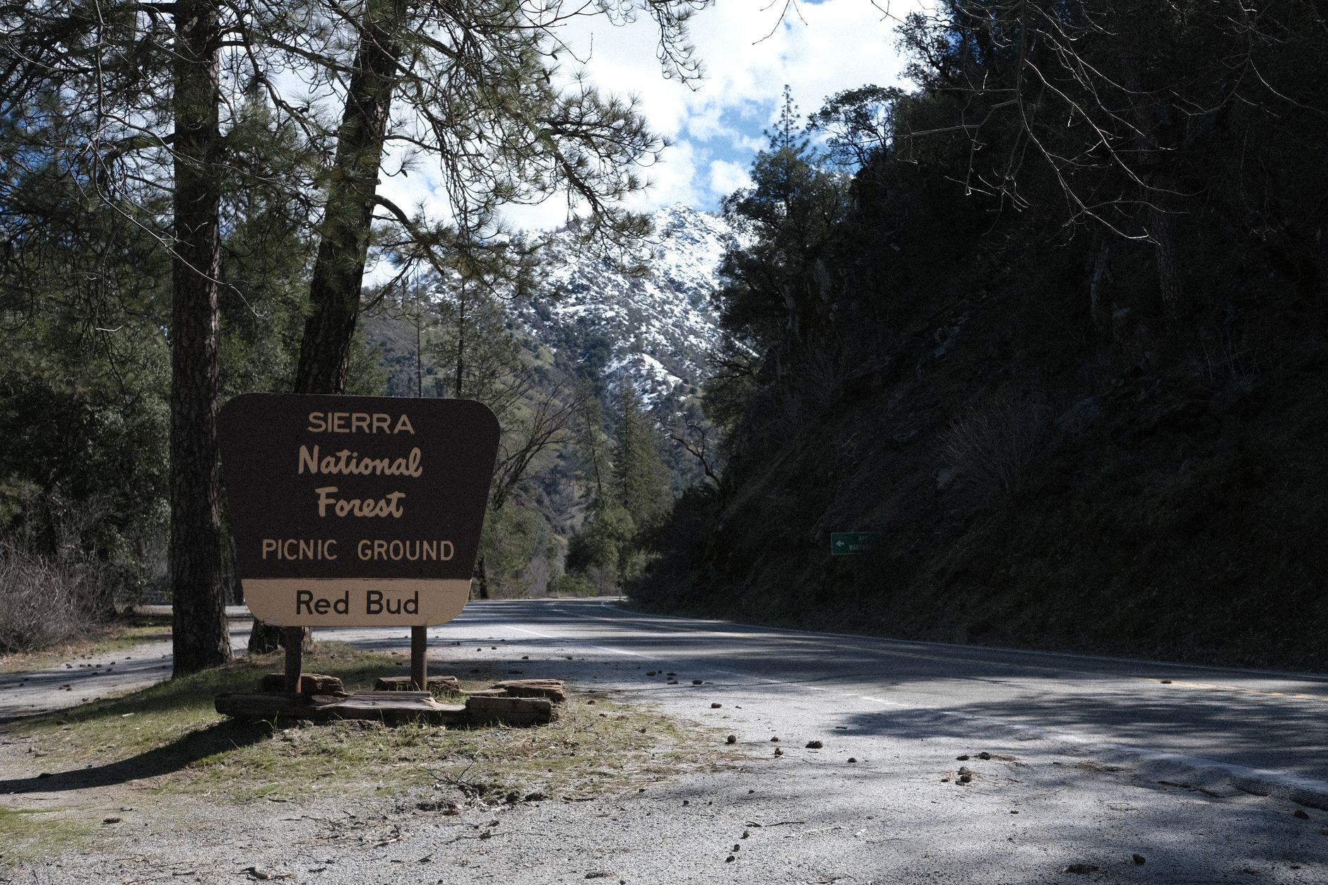
Signs, where they exist, are the fastest read, and brown and white is usually federal while agency logos appear on gates and kiosks. Road surface and numbering help too, since Forest Service roads carry numbered signs on brown posts and state park roads are paved more often than not.
Infrastructure is the next signal: toilets, picnic tables and interpretive signs suggest a park, while gravel, a cattle guard and no facilities suggest multiple-use land. Active logging means you are almost certainly not in a park. Locked yellow or green steel gates on gravel spurs are a Forest Service and DNR signature. And cattle on the trail mean multiple use, because grazing allotments run across a great deal of Forest Service and BLM ground.
Why this is worth the trouble
Because the differences are not bureaucratic trivia. They decide whether the walk you planned is legal.
The hiker who drives two hours with a dog to a national park trailhead has wasted a day. The one who books a Wilderness trip and turns up with a packraft on a bike trailer has a problem. The one who parks in a state park with a Northwest Forest Pass gets a ticket.
And the one who understands that the quiet forest above their town is trust land managed to fund schools will not be shocked when it is logged. They will know it was always going to be, and go somewhere else that year.
More on the money side in six states, six ways to charge you for a trailhead, on the dog question in where your dog is allowed and the state parks that want your dog, and on working out ownership from the road in is that trail public.
The passes each agency wants are in state park passes by state, and the state-level designations are in state natural areas explained. The general access question is in is that trail public, the dog rules are in dog-friendly trail rules by agency, and the hardest version of the mosaic problem is in state trust lands and access.
One more distinction that catches people, because the words sound similar. A national recreation area is not a national park, and several of the places people think of as parks are legally recreation areas administered under different rules: Lake Mead, Glen Canyon, and the Ross Lake unit that Highway 20 runs through in the North Cascades. Recreation areas generally permit hunting, motorized use and reservoir operations that a park would not, which is why the rules can change halfway along a road that never leaves federal ground.