Fish
Fish Fire
Fire Hike
Hike Bird
Bird


Ask anyone outside Tennessee to name a place to hike in the state and they will say the Smokies. Ask someone who hikes in Tennessee regularly and there is a decent chance they will say Savage Gulf.
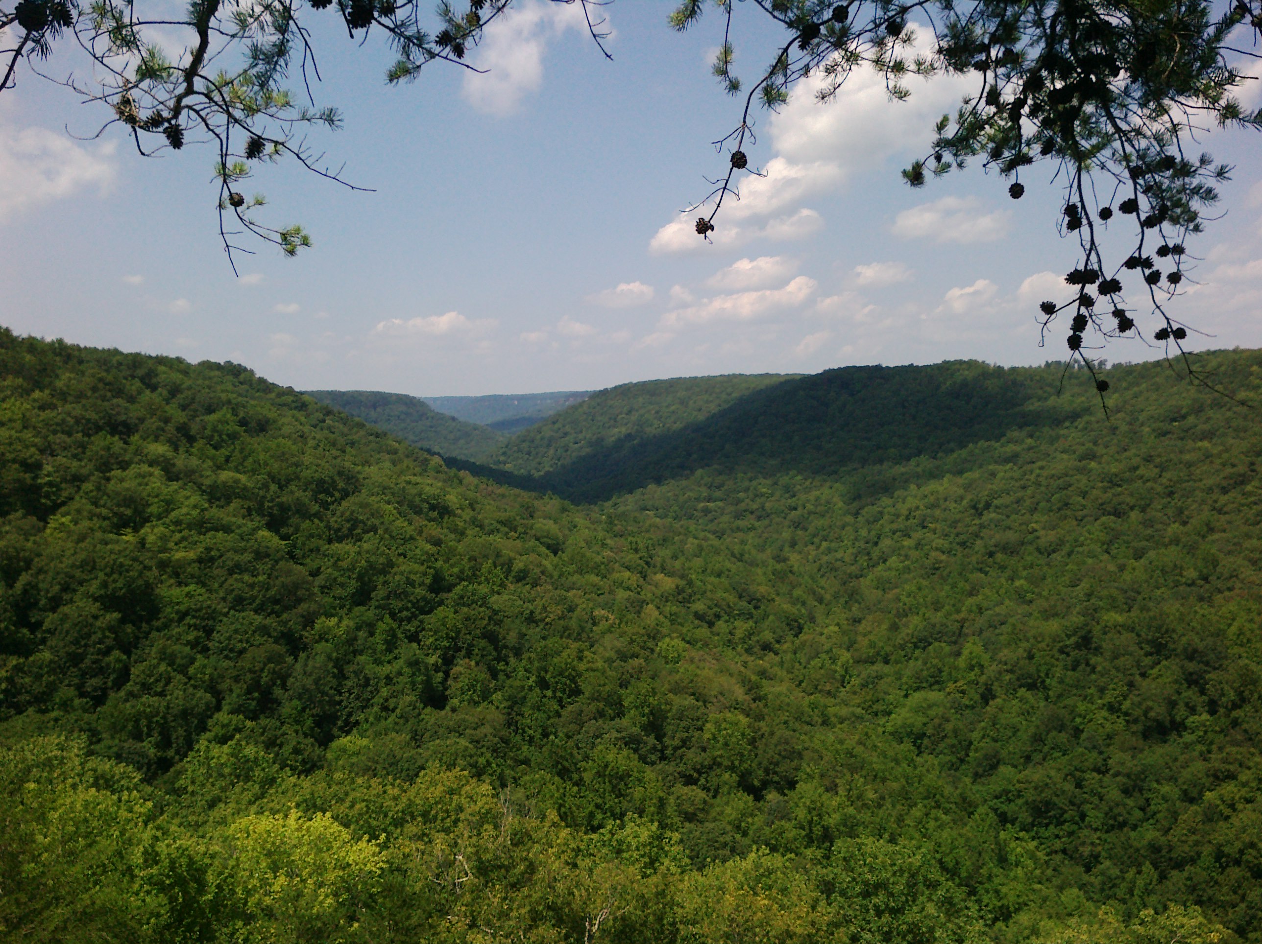
It is roughly 19,000 acres on the Cumberland Plateau, about two hours northwest of Chattanooga, and its central feature is a system of three gorges, Savage, Collins and Big Creek, meeting in a rough crow's-foot and cut several hundred feet down into the flat tableland above.
It is a National Natural Landmark, and the reason is the forest, because substantial stands of old growth survive down in the gulfs where the terrain was too broken and too steep to log economically. What you are walking through in places is what the plateau looked like before Tennessee was settled. There are about 60 miles of trail, and unlike the Smokies there are almost never crowds on them.
The Great Stone Door
The single most striking feature, and the shortest walk to an enormous view. The Stone Door is a natural crack running top to bottom through the cliff line, roughly 100 feet deep and only a few feet wide, splitting the rock like a door left slightly ajar, which is where the name comes from. A trail descends through it in a series of stone steps, taking you from the plateau rim down into the gorge.
The Stone Door Trail is about 0.9 miles from the ranger station to the overlook, and the first quarter mile is paved and wheelchair-accessible, which is unusual and welcome, after which it becomes natural surface. The overlook at the top of the door, before you descend, looks out across the whole of Savage Gulf. It is one of the great views in Tennessee and it costs you under a mile of walking. Rock climbing is permitted at the Stone Door with the appropriate permit, which is worth knowing if you see ropes.
Greeter Falls
The other headline, and a very different kind of walk. The Greeter Falls Loop is roughly 1.2 to 1.4 miles with a couple of hundred feet of elevation change, and it packs in a remarkable amount: an upper and a lower falls, a plunge pool people swim in, and a spiral metal staircase bolted to the rock to get you down the last section.
There is also a rock scramble along a narrow ledge beneath the bluff line on part of the loop. It is short, it is not technical, and it is exactly the sort of thing that makes a mile-and-a-bit walk memorable. The swimming hole below the lower falls is cold and popular in summer.
Hiking the Great Stone Door and Big Creek Rim Trails at Savage GulfGoing deeper
The short trails are the reason most people come. The 60-mile network is the reason to come back. The Stagecoach Road Trail follows the route of an actual nineteenth-century stagecoach road across the plateau, which is a strange thing to walk on and a good easy way to cover ground. The Savage Day Loop is a moderate few miles from the Savage Gulf ranger station out to overlooks over the gorge, and is the natural companion to the Stone Door on the other side of the park.
Beyond those, rim trails run along the tops of the gorges with repeated overlooks, while gulf trails drop several hundred feet to the creeks at the bottom, through the old growth, and climb back out. That descent-and-return profile is what makes distances here more demanding than the plateau's flatness suggests.
There are nine backcountry campgrounds in the system, which makes Savage Gulf one of the better backpacking destinations in the state. Permits and reservations go through Tennessee State Parks, and it is worth checking current requirements, because the park's administration has been reorganized in recent years and it is now managed as Savage Gulf State Park.
The old growth, and why it survived
The National Natural Landmark designation is not decoration. Savage Gulf holds one of the more significant surviving old-growth forests in the eastern United States, and the reason it survived is unromantic: the gulfs were too steep and too broken to get timber out of economically.
Everything around them was cut. The plateau above was logged, farmed and mined for coal, while the gorge walls were not worth the effort, so the forest in the bottom of the gulfs was left alone, and what stands there now includes trees that were mature before Tennessee was a state.
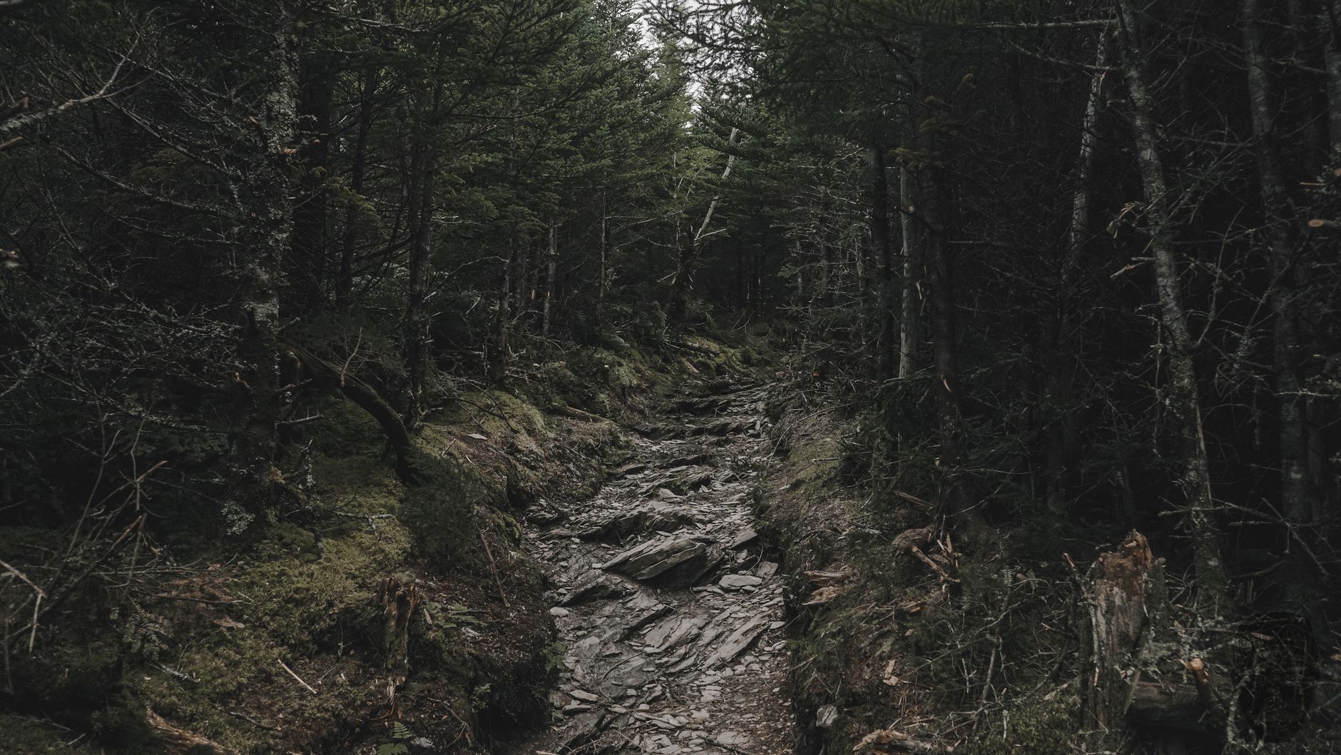
Walking into it is a physical experience rather than an intellectual one. The canopy closes, the understory thins because so little light reaches it, the trunks are larger than you expect, and the temperature drops several degrees. Second-growth forest, which is nearly everything else you walk through in the southeast, feels busy and cluttered by comparison. The hemlocks are struggling, since the hemlock woolly adelgid has hit Southern Appalachian hemlock hard and you will see standing dead ones, but the hardwoods are intact.
If you only do the rim trails you will not see any of this. It is the argument for taking the descent.
Hidden Tennessee: Solitude and Beauty at Savage GulfWhere the water goes
The other thing the gulfs do well is disappear water. This is karst country in places, meaning soluble rock, sinkholes, and streams that vanish underground and re-emerge somewhere else. Creeks in the Savage Gulf system run strongly in wet months and go dry on the surface in late summer, which catches out anyone planning to filter on a hot August day.
The waterfalls follow the same pattern. In spring and after heavy rain they are powerful, and in September some are a trickle down a wall. Greeter Falls holds up better than most because of its catchment, but the general rule on the plateau is that waterfall hikes are seasonal in a way mountain waterfalls are not. Check recent rainfall before driving out for a specific fall, and carry your water rather than counting on finding it.
What makes plateau hiking different
If your hiking experience is the Smokies, this is a different animal and it is worth adjusting for. The elevation profile is inverted, because in the mountains you climb from a trailhead and descend at the end, whereas here you start on the flat rim, descend into the gorge, and finish with the climb. That is harder psychologically and harder on tired legs.
The cliff lines are unfenced, which means walking near drop-offs of a hundred feet or more, frequently with no barrier and sometimes with the trail running right along the rim, and in wet or leaf-covered conditions that deserves real care. It is lower and hotter than the mountains too, with the plateau sitting around 1,800 to 2,000 feet rather than 6,000, so summer here is humid Tennessee heat and the gorges hold it.
Water is everywhere and nowhere, since creeks run through the gulfs while the plateau above them is dry, so carry what you need for the rim sections. And rock is slippery, because sandstone with wet leaves on it is among the most treacherous surfaces in the southeast and the season for that is long.
The gear
Plateau hiking on the Cumberland is wet sandstone, steep descents into gulfs, and more water than the map suggests, and the gear list follows.
Shoes with sticky rubber, which matters more here than tread depth. The rock is sandstone that stays damp under canopy, the Stone Door descent is a staircase of it, and lugs do nothing on wet stone while a soft sticky compound does.
Trekking poles, because the pattern here is inverted from mountain hiking: you descend eight hundred feet at the start and climb it at the end, when you are tired.
Two liters of water, since the creeks are frequently a long way below the rim trails and the plateau summer is humid.
A swimsuit and a quick-dry towel, which belongs on the list because the swimming holes below Greeter Falls and along Savage Creek are a genuine reason to come rather than an afterthought.
A headlamp, because the gulfs are dark early. Sunset in a gorge under hardwood canopy is an hour before sunset on the rim.
An offline map, since the trail network is more complicated than the signage and there is no coverage in the gulf.
And insect repellent, taken seriously from May through September, because the plateau is humid, the drainages hold standing water, and chiggers and ticks are both abundant.
Getting there, and which entrance
Savage Gulf is roughly two hours northwest of Chattanooga and about an hour and a half southeast of Nashville, on the plateau above the Sequatchie Valley. It is not on the way to anywhere, which is a large part of why it stays quiet.
The thing that catches everyone out is that the park's entrances are a substantial drive apart despite sharing a name. The Stone Door ranger station near Beersheba Springs, the Savage Gulf entrance on the eastern side, and the Greeter Falls access are separated by winding plateau roads that go around the gorges rather than across them, and picking the wrong one can cost you forty-five minutes. So decide the hike first and the entrance second: Stone Door and Greeter Falls are reasonably close to each other and pair naturally in a day, while the Savage Gulf side is its own trip.
The rest of the practical picture is simple. There is no fee for day hiking, in line with Tennessee State Parks generally, and because this is a state park rather than a national park the rules differ from the Smokies in ways that matter, with dogs generally allowed on leash where they are banned two hours east. Signal is poor across most of the plateau. And the surrounding towns, meaning Beersheba Springs, Altamont, Palmer and Gruetli-Laager, are very small, so fuel and food need planning and there is no reliable resupply once you are up on the plateau.
That state-park-not-national-park distinction is the one worth confirming rather than assuming, because it is the difference between bringing the dog and leaving it in the car, and it flips at boundaries that look like nothing on the ground. Guidepole Hike carries the managing agency and its rules under each trailhead, which across a plateau stitched from state park, state forest and private timberland is the fastest way to know what applies where you are standing.
Seasons
Autumn is the best time here without much argument, bringing color across the gorges, cool air, dry rock and the clearest views of the year. Winter is good and badly underrated, because leaf-off lets you see the gorge structure and the cliff lines properly, the waterfalls run high, and you will have the place close to yourself.
Spring brings high water and wildflowers with the falls at their most powerful. Summer is hot and humid, and the swimming hole at Greeter Falls becomes the point rather than a bonus, so start early.
What a first visit should look like
With half a day the answer is unambiguous: the Stone Door. Under a mile of walking, the first quarter of it paved, to an overlook across the entire gorge system, and then, if you want, a descent through the hundred-foot crack in the cliff on stone steps, which is a strange and memorable piece of trail, and the climb back out.
With a full day, add Greeter Falls for the spiral staircase, the ledge scramble and the swimming hole, or take the Savage Day Loop on the other side for a longer set of gorge overlooks. With a weekend, use the nine backcountry camps and walk the gulfs properly, through old growth that survived because nobody could get the timber out.
What not to do on a first visit is commit to a long gulf trail without understanding the profile. Descending several hundred feet into a gorge at mile two and climbing back out at mile eight, in Tennessee humidity, is a materially harder day than the distance suggests. The rim trails give you most of the scenery for a fraction of the effort, and the gulfs will still be there.
And come in autumn or winter. This place is at its best when the leaves are off and you can see the shape of what the water spent millions of years cutting.
The state's other great non-Smokies landscape is the ridge country on the North Carolina line, the Roan Highlands, and Chattanooga, two hours south, is the best base for plateau hiking generally: hiking Chattanooga.
The high country version of Tennessee hiking, three hours east, is in the Roan Highlands and Charlies Bunion. The nearest city, which is built around exactly this plateau geology, is in hiking Chattanooga. The state natural area designation that governs what you may do here is explained in state natural areas explained, and the camping reservation system is in state park camping reservations.
A note on the name, which changed recently and confuses searches. Savage Gulf was managed for decades as a state natural area within South Cumberland State Park, and in 2022 it became Savage Gulf State Park in its own right. Older trail guides, maps and signs use the old name, the trailheads are the same, and the rules did not materially change. If a source refers to South Cumberland, it is talking about this place.