Fish
Fish Fire
Fire Hike
Hike Bird
Bird


The Columbia River Bar is where roughly a quarter of a million cubic feet of river water per second meets the open Pacific over a shifting sandbar.
The result is one of the most dangerous navigable river entrances in the world. Something like two thousand vessels have been lost here since records began, along with hundreds of lives, and the stretch of coast has been called the Graveyard of the Pacific since the nineteenth century.
Cape Disappointment State Park sits on the headland above it, and almost everything in the park is there because of that water.
The name, and the expedition that followed
It is not a comment on the scenery. In 1788 the British fur trader John Meares was searching for the great river rumored to drain the interior of the continent. He reached this headland, could not find a passage through the breakers, concluded there was no river, and named the point Cape Disappointment before sailing away. There was a river, and Robert Gray entered it four years later and named it after his ship, the Columbia Rediviva.
The Corps of Discovery reached this coast in November 1805 having crossed the continent, and Clark's journal entries from the headland are the end of the westward journey. They wintered across the river at Fort Clatsop on the Oregon side, in conditions that were miserable even by the standards of an expedition that had already nearly starved in the Bitterroots.
The Lewis and Clark Interpretive Center sits on the cliff above the bar, built into the remains of a gun battery, and it is one of the better museums on the whole route.
Two lighthouses
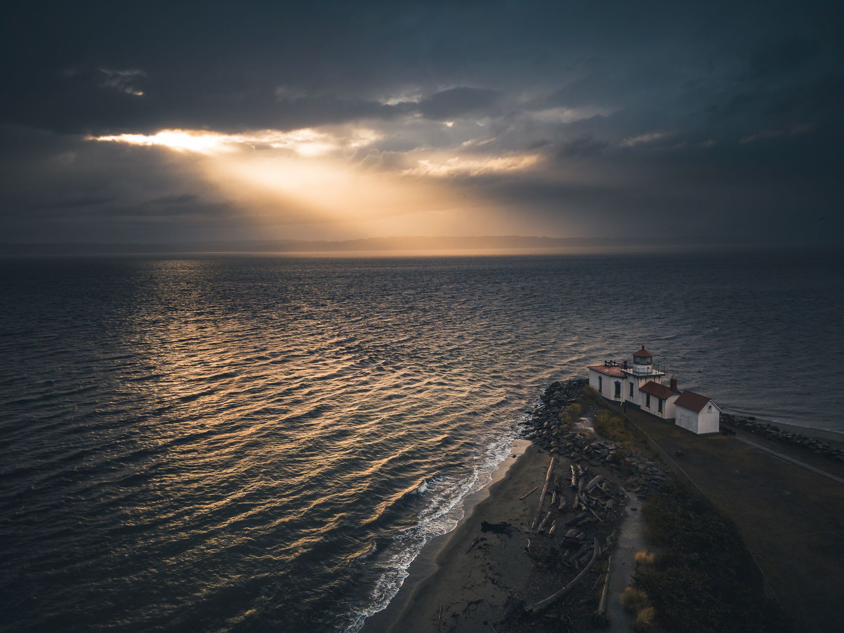
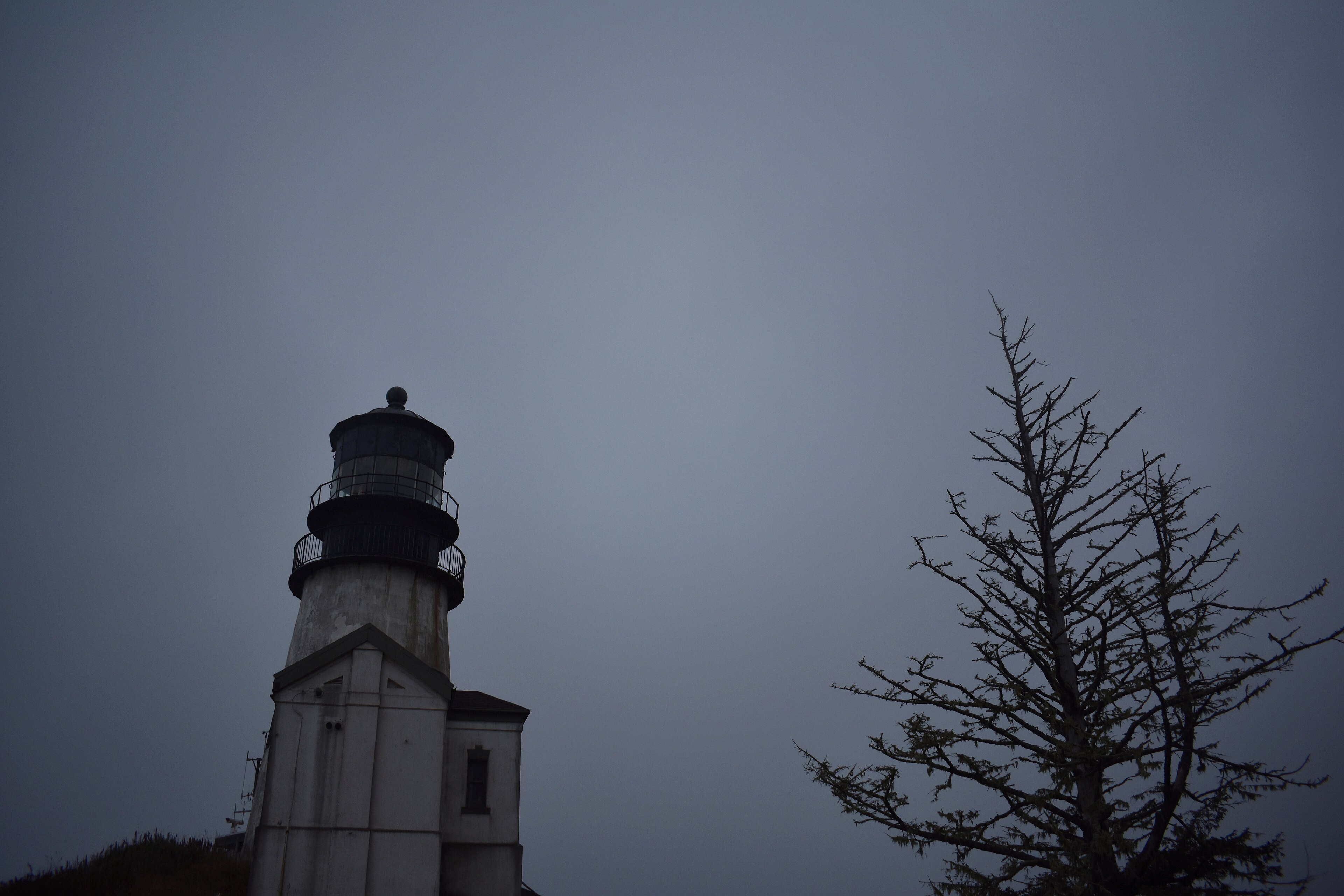
The park has two, which is unusual, and the reason is that one was not enough. Cape Disappointment Lighthouse was lit in 1856 and is the oldest functioning lighthouse in Washington, sitting on the headland directly above the bar.
The problem was that ships approaching from the north could not distinguish it against the headland behind, and wrecks continued. So North Head Lighthouse was built in 1898 two miles north, on an exposed point that is one of the windiest places on the West Coast, where gusts over 100 mph have been recorded. Both are reachable on short trails, and both are worth doing.
Fort Canby
The headland was fortified from the 1860s, during the Civil War, to defend the river mouth, and it stayed in military service through World War II. What remains is a scatter of concrete gun batteries in the forest and on the cliffs, in the heavy Endicott-era style, with thick emplacements, magazines and observation posts, now mossy and open to walk through.
The park was Fort Canby State Park until it was renamed, and the military layout still determines where the roads and trails go.
The bar, in detail
It is worth understanding why this particular stretch of water is as dangerous as it is, because from the cliff it often looks merely rough. The Columbia discharges an enormous volume into the open ocean across a shallow, mobile sand bar, and three things then interact.
Outflow runs against swell, so when the river's ebb meets an incoming Pacific swell the opposing forces steepen the waves dramatically, and a twelve-foot ocean swell can become a breaking wall over twenty feet on the bar. Shoaling compounds it, because shallow water forces waves to stand up and break, and the bar's depth changes constantly as sand moves, so charts age quickly. And refraction around the jetties and the bar produces confused seas, with waves arriving from several directions at once, which is what capsizes vessels rather than simple wave height.
The jetties, built from the 1880s onward, were intended to stabilize and deepen the channel by concentrating the flow, and they worked, at the cost of starving nearby beaches of sand and creating their own hazards. Bar pilots board every large vessel entering or leaving the river, transferring at sea in conditions that are frequently appalling, which makes it one of the more demanding pilotage jobs in the world.
The Coast Guard's National Motor Lifeboat School trains here specifically because the conditions are reliably severe, and it is the only school of its kind in the United States. Watching a 47-foot motor lifeboat deliberately drive into breaking surf is a normal afternoon at Cape Disappointment, and if you time a visit to an ebb tide against an incoming swell you will see exactly why they train here.
The forest on the headland
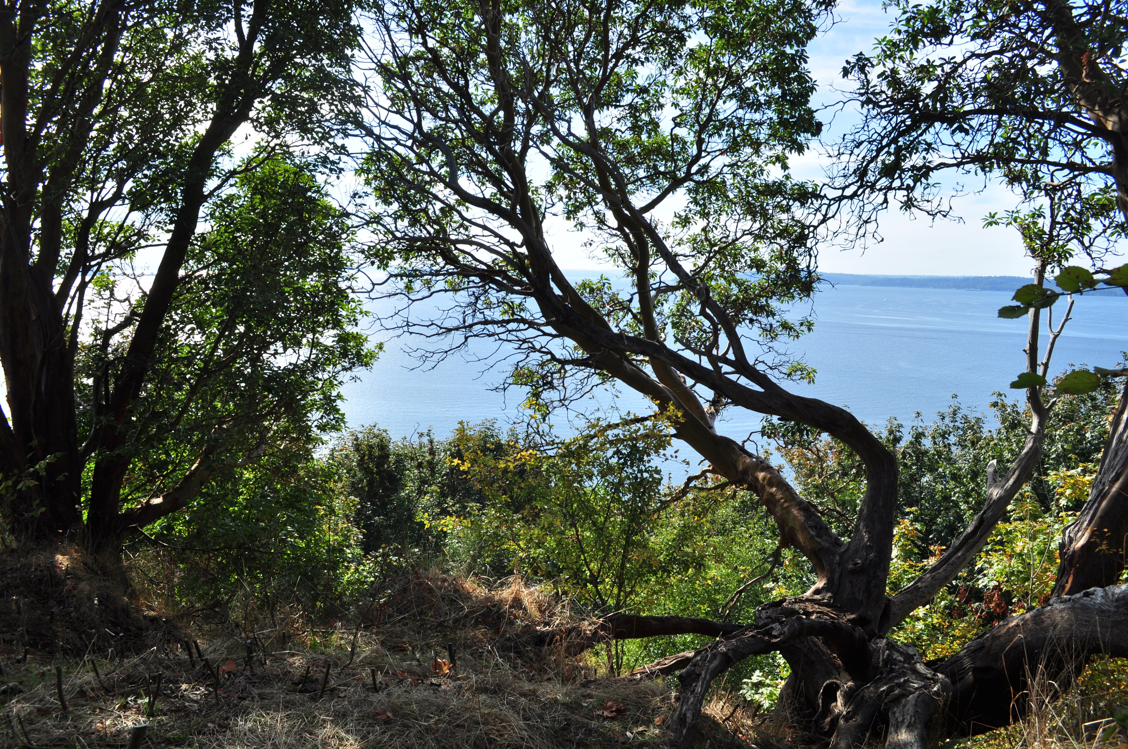
The cape is covered in coastal Sitka spruce forest, which is a distinct and increasingly scarce type. Sitka spruce tolerates salt spray better than almost any other large conifer, which is why it dominates a narrow band along the outer coast and disappears a few miles inland, and the trees here are wind-shaped, mossy, and often growing directly out of the cliff edge.
Salal, evergreen huckleberry and sword fern fill the understory, dense enough that the trails feel like tunnels. The combination of forest running right to a cliff above breaking surf is what makes the short walks here better than their length suggests.
The trails
The park is about 1,900 acres and the walking is short, coastal and varied. The Cape Disappointment Lighthouse Trail is under a mile round trip from the interpretive center, climbing through forest to the 1856 light with views over the bar, and it is the essential one. The North Head Lighthouse Trail runs about 1.5 miles through forest to the 1898 light and the keeper's houses.
Beard's Hollow and the Bell's View Trail climb the bluffs with viewpoints. Waikiki Beach is the small cove below the interpretive center, named for a Hawaiian sailor whose body washed ashore here after a wreck in 1811, and Benson Beach runs north from the North Jetty, wide and long and usually empty.
The long option is the Discovery Trail, running roughly 8 miles along the Long Beach Peninsula from Ilwaco to Long Beach, following the route Clark walked in 1805. It is flat, paved and mostly beside the dunes.
Cape Disappointment State Park: Things to Know Before You GoThe weather is the experience
This is one of the wettest and stormiest places in the contiguous United States, and that is the reason to come rather than a drawback. Winter storm watching is a genuine activity here, because Pacific systems arrive with nothing between them and Japan, and the surf on the North Jetty and against the cape in a January gale is extraordinary. Rain averages high and the fog is frequent, summer is mild and busier and often foggy in the mornings, and the wind is constant at North Head.
One hazard needs stating plainly. Sneaker waves and unstable logs are the real dangers on these beaches and they kill people on this coast every year, so do not turn your back on the surf and do not sit on or near driftwood at the tide line.
The gear
Cape Disappointment sits at the mouth of the Columbia, which is one of the most dangerous river bars in the world, and the gear list is a weather list.
Genuine waterproofs, meaning a hard shell rather than a resistant jacket. This headland receives well over eighty inches a year and the rain arrives horizontally off the ocean.
A wind shell under or over it, because the wind here is relentless and it is what actually makes the cold.
A Discover Pass for the park.
Awareness of sneaker waves, which is the specific hazard on this coast and which kills people every year. They arrive without pattern, they run far higher up a beach than the preceding waves, and the rule is to never turn your back on the ocean and to stay off exposed rocks and logs entirely.
Binoculars, for the bar itself, where the Coast Guard runs its heavy weather rescue school and where watching a motor lifeboat work the breakers is a genuine spectacle.
Warm layers under the shell, since a fifty-degree day with wind and rain on a headland is colder than the number suggests.
And a tide table, for the beaches and for the tidepools at the base of the capes.
Long Beach Peninsula
The park sits at the southern tip of a 28-mile sand peninsula, and the peninsula is part of the visit. Long Beach claims one of the longest continuous sand beaches in the United States, and driving on the beach is legal in designated stretches, which is either a novelty or an irritation depending on your view.
Willapa Bay, behind the peninsula, is one of the most productive oyster growing areas in the country and produces a large share of the oysters eaten in the United States, and it is also a major stop on the Pacific Flyway, with Willapa National Wildlife Refuge protecting a substantial part of it. Leadbetter Point at the northern tip has trails through dune, forest and salt marsh, with seasonal closures for snowy plover nesting, and cranberries are farmed on the peninsula with the bogs visible from the road.
That combination, an ocean beach on one side and a shellfish estuary on the other in a strip a couple of miles wide, is unusual and it is the reason the birding here is as good as it is.
Cape Disappointment State Park: Top Three Things to DoThe Chinook, and who was here
The river mouth was one of the most densely populated parts of the Northwest coast before contact, and the reason was the salmon. The Chinook Indian Nation and related Chinookan peoples lived along the lower Columbia with villages on both banks, and the river's runs supported a large population, extensive trade, and a distinct culture built around cedar and salmon.
The Chinook Jargon, a trade pidgin drawing on Chinookan, Nuu-chah-nulth, French and English, became the common language of commerce across the Pacific Northwest and was still spoken into the twentieth century, and a surprising number of regional place names and words come from it. Lewis and Clark's journals record extensive dealings with Chinookan people through the winter of 1805, and the expedition depended on them.
Disease arrived before most settlers did, and smallpox and later malaria killed a very large proportion of the population along the lower river in the decades around 1830. The Chinook Indian Nation is not federally recognized, despite continuous presence and a long campaign, which remains an active issue. Cape Disappointment's interpretive center addresses this, and it is worth the time.
The two-state problem, and what to do with a day
One quirk is worth budgeting for. The park is in Washington, the nearest airport and most services are in Oregon, and the two states have completely different park systems. A Discover Pass gets you into Cape Disappointment and nothing across the river, while an Oregon day-use permit gets you into Fort Stevens and nothing on this side. Neither covers the other and the bridge between them takes fifteen minutes, so if you are doing both sides of the river mouth in one trip, which most people should, you are buying two passes for one weekend. Guidepole Hike carries the pass each trailhead requires rather than the region it sits in, which around a river mouth split between two state systems is the difference between a planned expense and a surprise at the gate.
Beyond the pass: camping is extensive, and the North Head lighthouse keepers' residences can be rented, which is one of the better lodging options in the state park system, though you should book nine months out. Yurts and cabins are available. Dogs are welcome on an eight-foot leash and excluded from designated swimming areas. It is about three hours from Seattle and two and a half from Portland, with Ilwaco and Long Beach providing services immediately outside the park.
For the day itself, take the morning on the Cape Disappointment Lighthouse Trail and in the interpretive center. Go to North Head at midday for the second light and the wind. Spend the afternoon on Benson Beach or a stretch of the Discovery Trail. And in winter, find a viewpoint above the jetty during a storm and watch the bar work, which is the single most impressive thing on the Washington coast.
More coastal walking in hiking the Oregon Coast across the river, and the Olympic Peninsula further north. The fort on the Oregon side is Fort Stevens. Washington's other state parks are Deception Pass and Moran, and the pass rules are in six states, six ways to charge you for a trailhead.
The Oregon side of the same river mouth is in Fort Stevens State Park, and the rest of that coast is in Oregon coast hiking and Shore Acres storm watching. The bay just north of here, and the oysters in it, is in Willapa Bay oysters. The pass is in state park passes by state.
A note on the name, which is not about the weather. The British trader John Meares named it in 1788 after failing to find the mouth of the Columbia from offshore and concluding the river did not exist. It does, and it is one of the largest on the continent, and the bar he could not see across has since sunk something like two thousand vessels. The Chinook people who had lived on both sides of it for millennia were not confused about where the river was.