Fish
Fish Fire
Fire Hike
Hike Bird
Bird


If you live in Nashville and want to try backpacking, the answer is forty minutes west on Highway 70.
Montgomery Bell State Park carries a 10.4-mile overnight loop with three trail shelters spaced around it. The shelters are free, and reservations are required, which is an unusually generous arrangement and the reason this is the standard first overnight for a large number of Middle Tennessee hikers.
You can also walk the whole thing in a day. Most people do.
Why the loop works as a first overnight
Several things line up here that rarely line up together. The distance is right, because ten and a half miles split across two days is a genuine trip without being a test, and the shelters remove the biggest variable: no tent, no site selection, no wondering whether the ground is flat, just three-sided structures with a roof. Bail-out is easy, since the loop passes near park roads and facilities at several points, so a trip that stops being fun can end. It is close to a city, and forty minutes from Nashville means you can leave after work. And it costs nothing, or close to it: Tennessee has long charged no state park entrance fee and the shelters have been free with a reservation. Check both with the park, because shelter and parking policy is the part that changes.
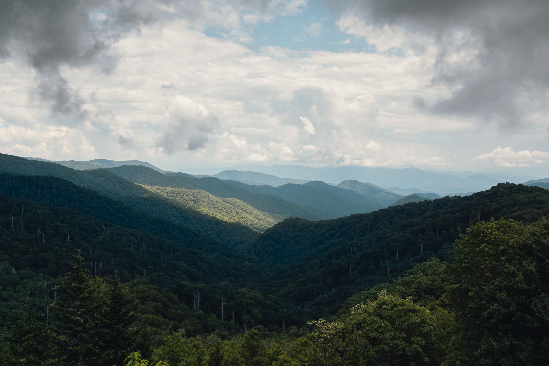
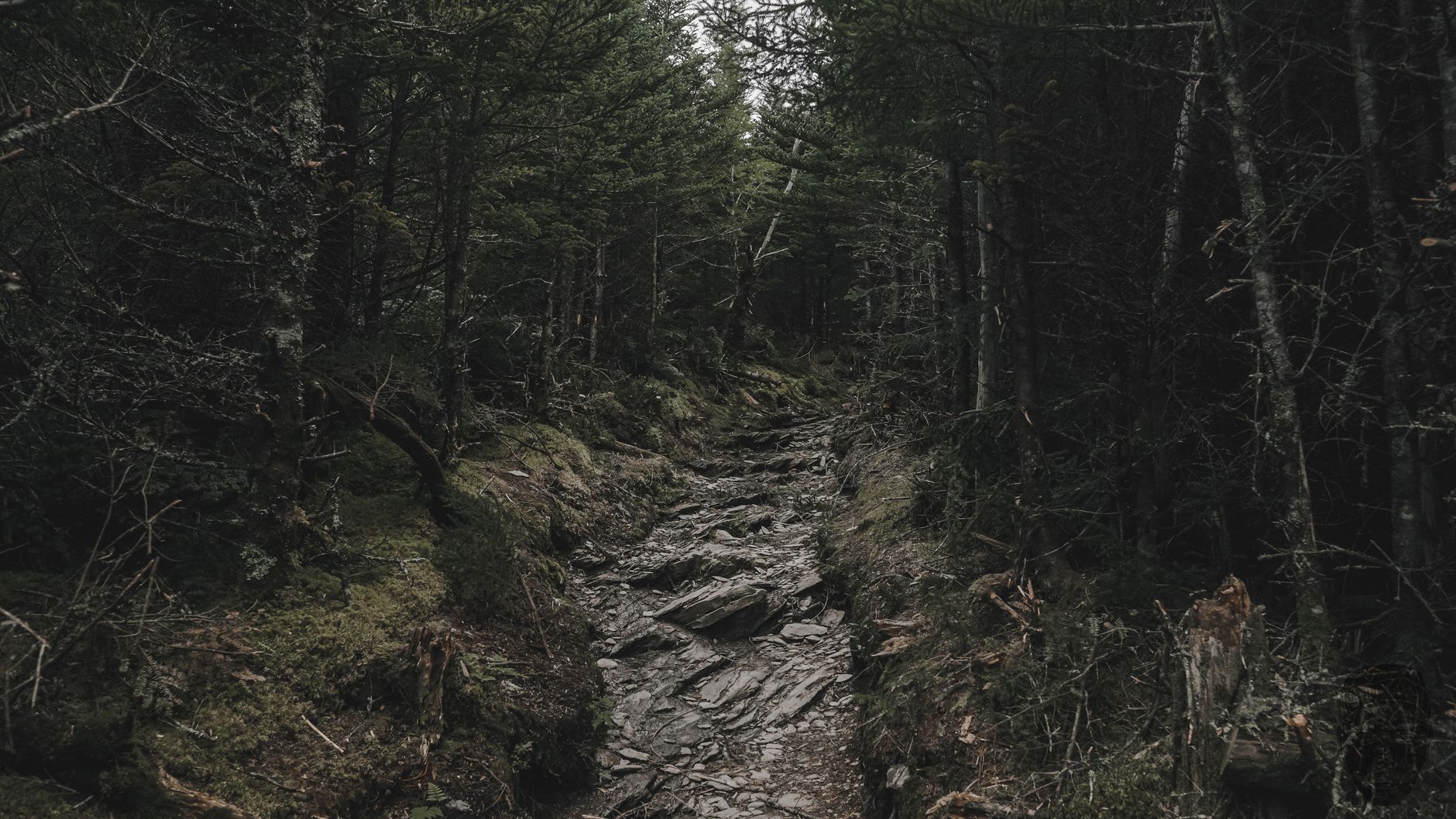
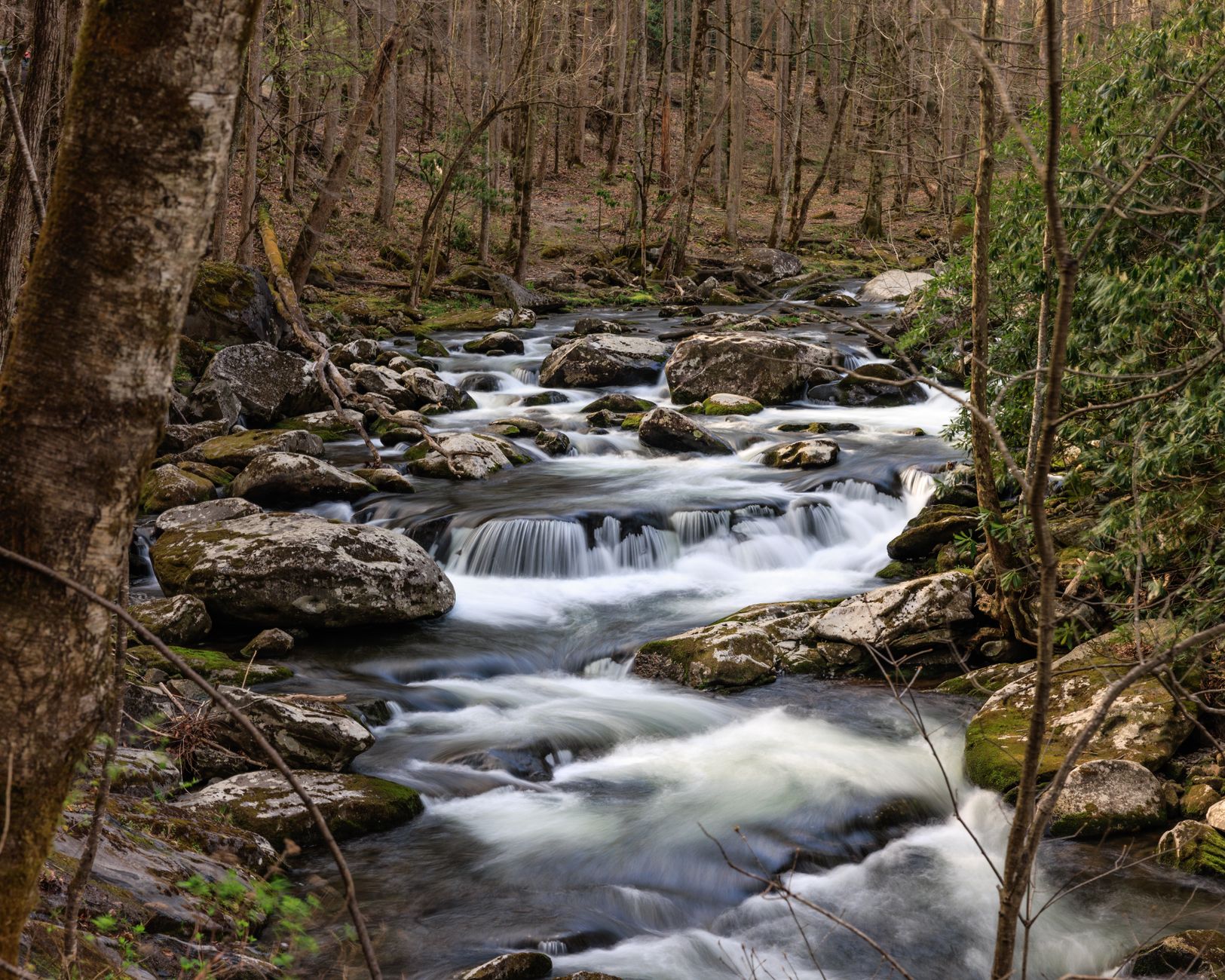
The terrain is rolling rather than flat, on the Western Highland Rim, with repeated short climbs through hardwood forest and several stream crossings. Nobody would call it dramatic. As a place to find out whether you enjoy carrying a pack, it is close to ideal.
The Western Highland Rim
The terrain makes more sense once you know what the Rim is. Middle Tennessee's structure is a large geological dome that has been eroded from the middle outward, where the center is the Nashville Basin, a low, fertile limestone plain, and surrounding it on all sides is the Highland Rim, a plateau several hundred feet higher capped with more resistant chert-bearing limestone. The boundary between them is an escarpment, and the Rim itself is dissected into rolling hills and hollows by the streams draining off it.
That is what you walk in here: not mountains, but a deeply cut plateau, where the ridges are all roughly the same height because they are remnants of one surface, and the hollows between them are narrow and steep-sided. The practical effect on the trail is constant short climbs, with no sustained ascent anywhere on the loop and no flat section either, so you go up and down a hundred feet at a time, repeatedly, which adds up to more work than the elevation profile suggests.
The chert in the soil is the other consequence. It is a hard silica rock that weathers out of the limestone and litters the surface, which is why the ground here is stonier than the rich basin farmland twenty miles east, and why this country was iron and timber land rather than agricultural land. Springs and seeps are common where water moves through the chert and hits an impermeable layer, and that is where the streams on the loop come from.
The iron, which is why the forest looks like this
The park is named for Montgomery Bell, an ironmaster who dominated this region's iron industry in the early nineteenth century, and the landscape you walk through is his legacy in an unflattering sense. The Western Highland Rim held iron ore, and smelting it required charcoal in enormous quantities, so furnaces consumed the surrounding forest wholesale and by the mid-1800s much of this country had been cut over repeatedly to feed them.
Laurel Furnace and the remains of the industry are within the park, and the ore pits are visible along the trails as odd depressions in the forest floor once you know to look. Bell's operations relied heavily on enslaved labor, and the park does not hide this.
So the second-growth forest here is not a wilderness that happens to be small. It is a recovery, and a fairly recent one.
McAdow Chapel
A small reconstruction near the park's center marks something specific: the Cumberland Presbyterian Church was founded on this ground in 1810, in a log building belonging to Samuel McAdow.
The denomination split from the mainstream Presbyterian church over the frontier's shortage of formally educated clergy and over doctrine, and it grew across the American South and Midwest from this spot. The chapel is a two-minute stop, and it is the kind of thing that makes a state park worth reading rather than only walking.
The other trails
The Ore Pit Trail is a short loop past the mining depressions and the best introduction to the park's history, the Wildcat Trail and the Creech Hollow Trail offer moderate day-length walking, and the Lake Trail circuits Lake Acorn, flat and easy. The Montgomery Bell Trail is the overnight loop itself, and it can be walked in either direction, though most people go clockwise.
The overnight, practically
Reserve a shelter in advance, because they are free but required and weekends fill. Three shelters are spaced around the loop, which gives you a choice of how to split the distance, and the standard is a longer first day and a shorter second. Water is available from streams and must be treated, so do not count on the shelters having any. They are three-sided, which makes a bag rated for the season and a pad the essentials, with a tarp for the open side worth carrying in shoulder seasons. Mice are a permanent feature of trail shelters everywhere, this one included, so hang food. And stream crossings are unbridged in places and rise after rain.
Since this park's main use is teaching people to carry a pack, it is worth being concrete about the rest. The pack should be under a third of your body weight, and for one night in mild weather well under that, because the classic first-trip error is bringing everything. Sleep system first: a bag rated for the actual overnight low, and a pad, since cold sleep ruins trips more reliably than anything else and the shelter floor pulls heat out of you all night. Water is heavy, a liter weighs a kilogram, so on a loop with streams carry one and filter as you go rather than starting with four. Food does not need to be interesting for one night, it needs to be edible cold if your stove fails. Break in nothing on the trail, because new boots, a new pack and a new stove on the same weekend is how people decide they hate backpacking. Tell someone the plan, including which shelter and when you expect to be out, since signal is patchy in the hollows here. And walk out if it stops working, because the loop passes near park roads at several points, which is exactly why it is the right place to find out what you do and do not enjoy.
The free-but-required shelter reservation is worth flagging as a rule rather than a formality. There is no fee and no gate, so nothing physically stops you walking in and sleeping in an empty shelter, and rangers do check, and an unreserved shelter is not an available one. It is also the kind of rule that a guidebook records once and the park changes quietly, along with the seasonal closures on the loop after storm damage. Guidepole Hike carries the permit requirement against the specific shelter rather than the park, which at a place whose whole appeal is that the overnight costs nothing is the detail worth getting right before you drive out.
History, Hiking and More at Montgomery Bell State ParkThe Narrows of the Harpeth
Twenty minutes away and worth building into the same trip, and a separate park with its own rules rather than a corner of this one.
The Harpeth River loops around a narrow limestone ridge, running roughly five miles to return to a point about two hundred feet from where it started. In the early 1800s Montgomery Bell had a tunnel cut through that ridge so the river would fall through it and drive machinery at his ironworks. The tunnel is roughly 290 feet long, cut through solid rock, and it was dug by enslaved workers with hand tools. It is the earliest full-scale tunnel of its kind in the United States and a National Historic Landmark, and water still runs through it.
A short, steep trail climbs the ridge above it to an overlook with one of the better views in Middle Tennessee. It is an uncomfortable place, and it should be, because the engineering is remarkable and the means were people who had no say in it, and standing at the tunnel mouth makes that concrete in a way a plaque does not.
The gear
Montgomery Bell is where a great many middle Tennessee hikers do their first overnight, and the gear list is a first-backpacking-trip list.
A shelter reservation, because the park's backcountry sites use three-sided shelters that are booked rather than first-come, and turning up without one on a spring weekend means no legal place to sleep.
A water filter, since the sources on the loop are creeks and a small lake rather than taps.
A tarp for the open side of the shelter, which is the detail nobody mentions. A three-sided shelter in a Tennessee rainstorm with wind is a wet shelter, and a tarp across the open face fixes it entirely.
A food hang or a hard container, since black bears are now regularly reported in middle Tennessee, which was not true fifteen years ago, and raccoons at a used shelter are a certainty regardless.
Tick and chigger repellent.
A sleeping pad, which people skip on a shelter trip and should not, because a wooden platform is cold and hard in equal measure.
And trail shoes rather than boots, since the loop is a gentle rolling one through second-growth hardwood and stiff boots are more than it needs.
The lakes and the family side
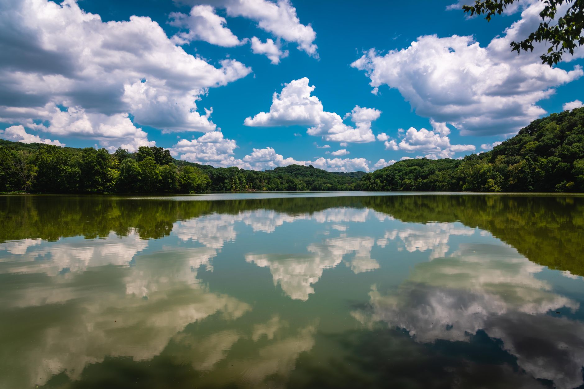
The park is not only a backpacking trailhead, and if you are bringing people who do not want a pack it holds up. Lake Acorn and Lake Woodhaven both have easy shoreline walking, fishing for bass and bluegill, and boat rental in season, while the inn and restaurant sit above Lake Acorn and make this one of the more comfortable state parks in the system to base out of, with cabins and a campground filling in the rest. The golf course exists, which tells you what kind of park this is.
Wildlife is ordinary fare for this side of the Mississippi: white-tailed deer everywhere, wild turkey, barred owls at dusk, and beaver sign on the lake margins. The practical shape of a weekend here is a shelter night on the loop for whoever wants it and the inn for whoever does not, which is a rarer combination than it sounds.
Backpacking at Montgomery BellSeason and practical notes
Autumn and spring are the best, with mild temperatures and either color or wildflowers. Winter is good here too, because Middle Tennessee winters are mild, the bare forest opens up the terrain, the bugs are gone, and the shelters make cold-weather camping much simpler than a tent does. Summer is hot, humid and heavy with ticks, chiggers and mosquitoes, and it is the least pleasant time to carry a pack in this state.
There is no entrance fee, as Tennessee charges nothing at any state park. Dogs are welcome on leash on the trails, signal is patchy in the hollows, ticks and chiggers are the main nuisance from spring through autumn and this park has them in quantity, and copperheads are present.
What to do with it
A first overnight is what the park is for: reserve a shelter, walk in on a Saturday afternoon, walk out Sunday morning. A day gets you the full 10.4-mile loop in one go, which is a solid but unremarkable day. And a short visit is the Ore Pit Trail and the lake loop, with the furnace site.
If the history interests you, drive twenty minutes to the Narrows of the Harpeth and walk through a tunnel that enslaved people cut through a limestone ridge with hand tools, so that a river could be made to turn a wheel.
More Tennessee parks in Fall Creek Falls, Burgess Falls and Norris Dam. Nashville's nearest plateau gorges are at Savage Gulf, and the long escarpment route is the Cumberland Trail.
The nearest city is in birding Nashville, and the plateau parks an hour or two east are in Fall Creek Falls, Cummins Falls and Savage Gulf. If this is your first overnight, the reservation system is described in state park camping reservations, and the fee situation in state park passes by state.
And a note on the name, because the park does not advertise it prominently. Montgomery Bell was an ironmaster who ran the Cumberland Furnace and the Laurel Furnace operations on this ground in the early nineteenth century, and the labor was substantially enslaved. The pits and slag you walk past on the trail system are the physical remains of that industry. The park interprets some of this and not all of it, and knowing what the depressions in the ground are changes the walk considerably.