Fish
Fish Fire
Fire Hike
Hike Bird
Bird


Two things make Pickett CCC Memorial State Park unusual, and they are unrelated except that both depend on the park being a long way from anywhere.
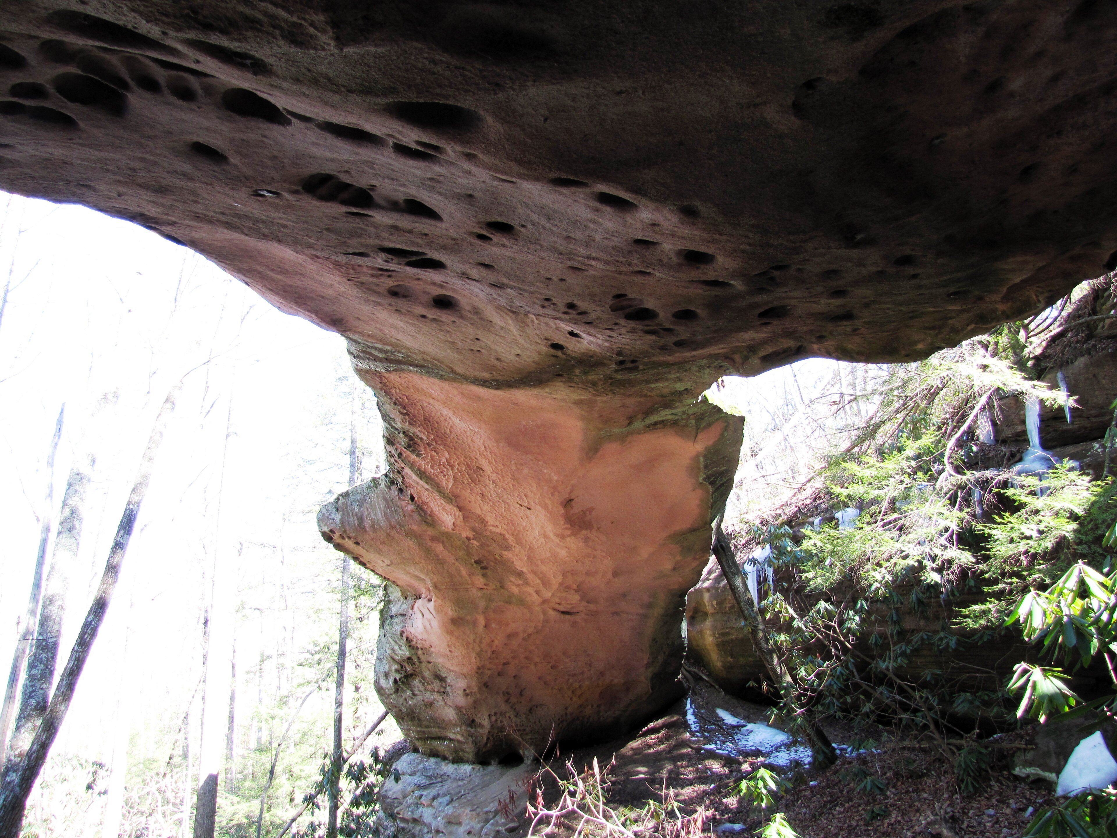
The first is the sandstone: natural bridges, arches and enormous rock shelters scattered through the forest on the northern Cumberland Plateau.
The second is the dark. Pickett was the first certified International Dark Sky Park in the southeastern United States, and on a clear moonless night the Milky Way is visible from the middle of the park with no equipment at all.
It sits near Jamestown, on the Kentucky line, roughly two hours from Knoxville and two and a half from Nashville. That remoteness is the whole point.
The rock
The northern plateau here is capped with the same resistant sandstone found across the region, and weathering has produced an unusual concentration of features. Natural bridges and arches form where a fin of rock is undercut from both sides until it perforates, and the park's best-known arch spans a section near the lake and is reached on a short trail.
Rock shelters, called rock houses locally, are wide shallow overhangs where softer rock has weathered out from beneath the cap, and several here are enormous. Hazard Cave is the signature: a vast rock shelter reached by a 1.5-mile loop with about 180 feet of elevation gain, and one of the best short walks in the Tennessee system.
In summer, parts of Hazard Cave host glow worms, the larvae of a fungus gnat that produce a blue-green bioluminescence on the damp shelter walls after dark. They are worth timing a visit around, and this is one of the very few places in the eastern United States where you can see the phenomenon.
The lake
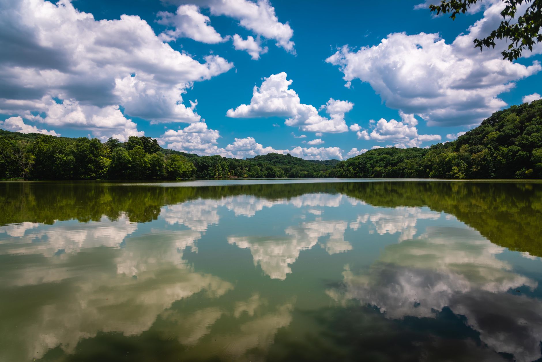
Arch Lake sits at the center of the park, formed by the CCC dam, and it is small, quiet and ringed by sandstone. Swimming is permitted in season, rowboats and canoes are available, and the shoreline path is the easiest walking in the park.
It is also the most convenient dark-sky viewing spot, because the water gives you an open horizon in a park that is otherwise entirely under canopy.
The trails
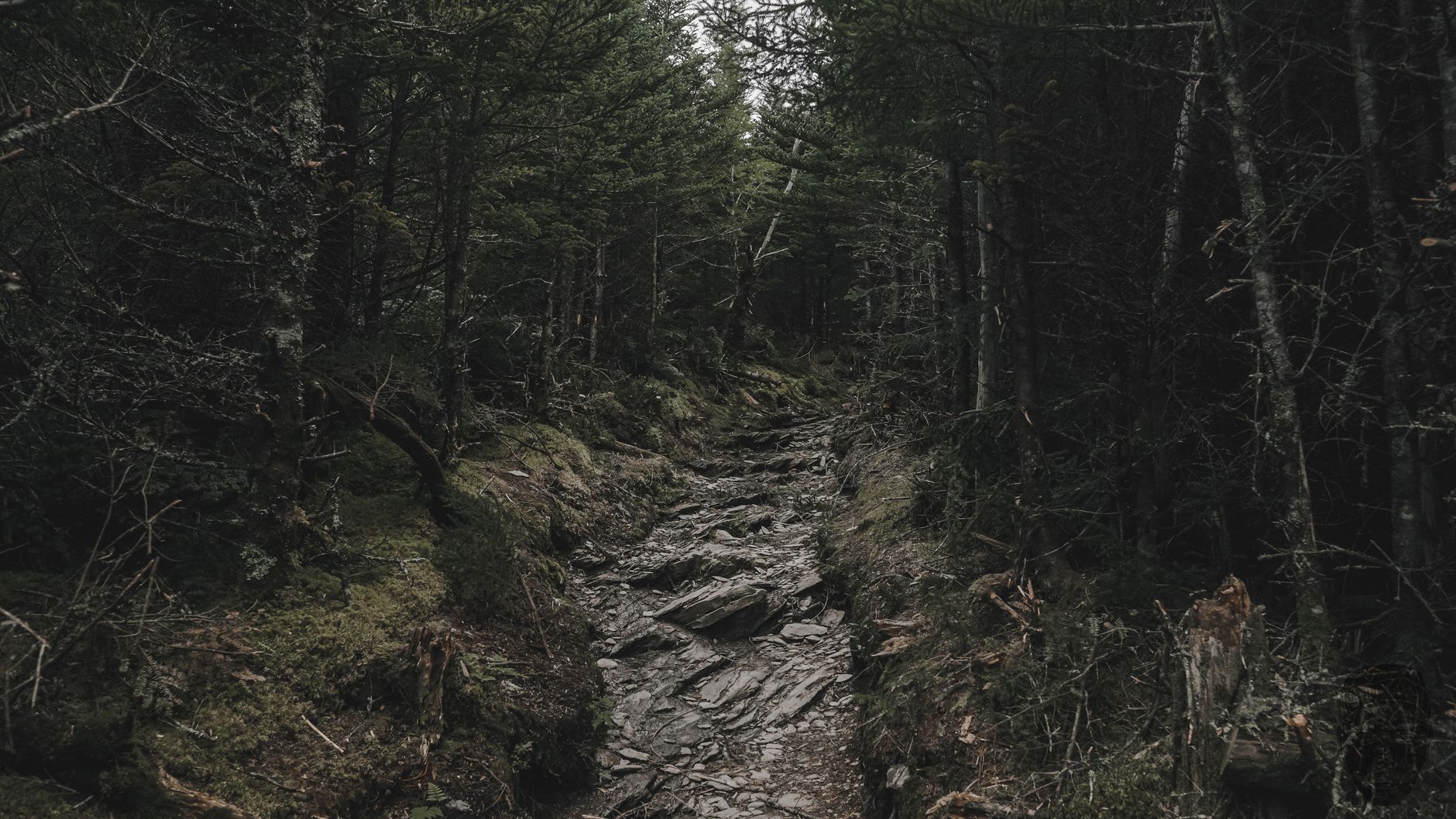
The park itself holds a compact network, and then it opens into something much larger. Hazard Cave Loop at 1.5 miles is the introduction and takes in the rock shelter and the arch, the Natural Bridge Trail is short and reaches the park's arch directly, Indian Rockhouse is another substantial shelter on a modest walk, and the Ladder Trail and Rock Creek add moderate distance with more sandstone.
The Sheltowee Trace National Recreation Trail passes through, running from Kentucky's Daniel Boone National Forest south into Tennessee, and it is the long-distance option here. And the connection to Big South Fork is what makes the park bigger than its acreage, because Pickett's trail system links directly into the Big South Fork National River and Recreation Area, and the combined network runs to more than fifty miles.
That is the practical case for basing here: the park is small, the walking is not. It also means a day's walk can move from a Tennessee state park onto a National Park Service unit and, on the Sheltowee Trace, onto national forest ground, each with its own rules on dogs, camping and firearms, and the boundary is a sign on a tree if it is marked at all. Guidepole Hike carries the managing agency and its rules under the trail, which on a network stitched from three federal and state systems is the layer that decides what applies where you are.
What the CCC was
Since the park is named for it, it is worth knowing what the Civilian Conservation Corps was and why so much of American outdoor recreation dates from it. The CCC ran from 1933 to 1942, a Depression-era relief program that put young unemployed men to work on public land, where enrollees earned thirty dollars a month, of which twenty-five was sent home to their families, and over its life it employed roughly three million people.
What they built is the physical infrastructure of the American state park system: trails, bridges, cabins, shelters, dams, roads, fire towers and lodges, in a distinctive rustic style using local stone and timber, deliberately designed to look as though it had grown out of the site. That style has a name, National Park Service Rustic, sometimes called parkitecture, and once you can recognize it you see it everywhere, in heavy log construction, oversized stone chimneys, low horizontal massing and exposed joinery. The CCC also planted an estimated three billion trees, much of it on land stripped by logging and failed farming, which is a large part of why the eastern forests recovered as fast as they did.
Pickett is one of the clearest surviving examples of a CCC park as a coherent whole rather than a few isolated structures, and it is one of Tennessee's oldest state parks. The stone-and-timber cabins, the dam that formed the lake, the bridges, the trail work and the retaining walls were designed together and are still doing the job ninety years on, which is why ninety-year-old infrastructure remains in daily use. The program ended when the war absorbed both the labor and the money.
The dark sky, and how to use it
Dark Sky Park certification is not a marketing label. It requires an inventory of outdoor lighting, a commitment to shielded and reduced fixtures, measured sky quality and ongoing public education, so what it means for a visitor is that the park has deliberately kept itself dark and the surrounding plateau is thinly populated enough for that to work.
The lake area and the open spaces near the CCC structures are the usual viewing spots, new moon is the target, and autumn and winter give the clearest, driest air and the longest nights at the cost of cold. Use red light only and give your eyes half an hour to adapt, which is longer than most people are willing to wait and is the difference between a good night and a mediocre one. Camping in the park is the obvious way to do this and the CCC cabins are the comfortable version, while summer brings the glow worms and the humidity, which are a trade.
One small practical grace: there is no permit, no reservation and no fee for any of the day hiking here, and none for stargazing either, so you can arrive at midnight, park at the lake and look up. That is unusual for a certified Dark Sky site, because several of the better-known ones now run timed entry or charge for night access after demand outgrew the parking. Pickett's remoteness has spared it that, and the only thing standing between you and the Milky Way is a two-hour drive and a clear forecast.
What you can see
Worth being specific, because dark sky is a spectrum and people arrive without knowing what to look for. The Milky Way is the headline, invisible from a suburban sky and, from Pickett on a clear moonless night, an obvious structured band across the sky with visible dust lanes splitting it. Summer gives you the bright galactic center in Sagittarius and Scorpius, low in the south, while winter gives the fainter outer arm through Orion and Auriga.
The Andromeda Galaxy is a naked-eye object here, a faint elongated smudge, and it is the most distant thing most people ever see without equipment at roughly two and a half million light years. Zodiacal light appears as a faint cone along the ecliptic after evening twilight in spring and before dawn in autumn, sunlight scattered off interplanetary dust that requires a dark sky to see at all. Meteor showers are transformed, and the Perseids in August and the Geminids in December produce rates from a dark site that bear no relation to what a city dweller sees. Satellites are constant and increasingly hard to ignore, which is its own commentary.
Binoculars beat a telescope for a first night, because a pair of 10x50s will show the Pleiades, the Orion Nebula, Andromeda and a great deal of the Milky Way's star fields, and they need no setup. The practical limit at Pickett is usually humidity rather than light, since a muggy Tennessee summer night scatters what light there is and softens everything, while cold dry autumn and winter nights are markedly better.
Dark Sky Stargazing at Pickett State ParkSeason
Autumn is the best all-round, with hardwood color on the plateau in late October, cool walking and clear nights. Spring brings wildflowers and full creeks. Summer is hot and humid, though the rock shelters are cool and the glow worms are active. And winter is quiet, with bare trees exposing the sandstone structure and the longest nights of the year for the sky.
The gear
Pickett is Tennessee's first International Dark Sky Park, which makes the gear list unusual: half of it is for standing still outdoors after midnight.
A red headlamp, which is the entire etiquette of a dark sky site compressed into one item. White light destroys your own night vision for twenty minutes and everybody else's at the same time. Red preserves it, and most headlamps have a red mode people never use.
Warm layers for standing still, because stargazing is the coldest thing you can do outdoors at any given temperature. You are motionless for hours on a plateau at fifteen hundred feet, and a comfortable evening becomes a cold night quickly.
A star chart or an offline sky app, downloaded before you arrive, since there is no signal up here.
Full fuel and supplies, because Pickett sits in a remote corner of the plateau near the Kentucky line and the nearest real town is a long way off.
Grippy shoes, for the sandstone arches and rock houses that are the daytime attraction.
Tick and chigger repellent, for the daytime half.
And a camp chair, which sounds indulgent and is the difference between an hour of looking up and three.
The wider plateau up here
The northern Cumberland Plateau is a distinct region from the plateau around Fall Creek Falls and Savage Gulf, and it is worth treating as its own destination. Big South Fork is the centerpiece, a National River and Recreation Area spanning the Tennessee and Kentucky line with a gorge, arches and several hundred miles of trail, and Pickett is effectively its quiet western doorstep.
Rugby, a short drive south, is a preserved Victorian utopian colony founded in 1880 by the English author Thomas Hughes as a settlement for the younger sons of British gentry, which failed within a decade while the buildings survive. Colditz Cove and Northrup Falls offer a short walk to an excellent waterfall, and Obed Wild and Scenic River is an hour south with harder gorge country.
This corner of the state sees a fraction of the traffic that the Smokies do, and the walking is good.
Kayaking and Hiking at Pickett CCC Memorial State ParkPractical notes
There is no entrance fee, as everywhere in Tennessee. Camping, cabins and a lodge are available and book six months ahead, and the CCC cabins are the reason to plan early. Dogs are welcome on leash on the trails.
It is remote, with Jamestown the nearest town of any size, limited services, and fuel worth sorting before you arrive, and signal is poor to nonexistent, which is part of the appeal and a genuine planning consideration. Do not disturb rock shelters, because several hold archaeological deposits and digging in them is a serious offense. And copperheads and timber rattlesnakes are present, with ticks and chiggers in season.
What to do with a weekend
Day one is the Hazard Cave Loop and the Natural Bridge, then the Indian Rockhouse. Night one is the lake area after full dark, red light only, new moon if you can arrange it. Day two is a longer walk on the Sheltowee Trace or across into Big South Fork. And in summer, Hazard Cave after dark for the glow worms is a different park entirely.
Pickett is the least-visited good state park in Tennessee, and the two reasons for that, that it is far from every city and there is nothing bright nearby, are exactly the reasons to go.
The designation system is explained in natural area, scenic trail, reserve, and the fee picture in six states, six systems. More plateau sandstone at Savage Gulf and along the Cumberland Trail, and the nearest big park is Norris Dam on the way back toward Knoxville.
The rest of the northern plateau is in the Cumberland Trail and Virgin Falls. The other Tennessee parks in this library are in Fall Creek Falls, Norris Dam State Park and Savage Gulf. The designation itself, and what a dark sky park commits to, sits alongside the categories explained in state natural areas explained.
One further note on why this corner of the plateau is dark and likely to stay that way. Pickett sits inside a block of state forest and federal land running north into Kentucky and the Big South Fork, with very little private development and no city of any size within fifty miles. Dark sky designation protects the lighting inside the park boundary, but the reason the sky is worth protecting is the two hundred thousand acres of nothing around it. That is an accident of a poor and rugged landscape rather than a policy, which is worth knowing.