Fish
Fish Fire
Fire Hike
Hike Bird
Bird


Hood Canal has the best public oyster beaches in Washington and a recurring problem with the water running out of oxygen.
Those two facts are related, and the relationship is more interesting than it first appears, because the oysters mostly sit above the part of the water that is failing.
Understanding the shape of this fjord explains both why it grows oysters so well and why it suffocates.
A fjord with a door that is almost shut
Hood Canal is not a canal. It is a glacially carved fjord, running roughly sixty-eight miles from the Hood Canal Bridge south and then hooking east toward Belfair, and it is deep, with more than six hundred feet of water in the main basin.
The critical feature is at the other end. The entrance is crossed by a sill, a shallow ridge of glacial deposit, and that sill is only about a hundred and fifty feet deep. So a basin six hundred feet deep connects to the rest of Puget Sound over a lip a quarter of that depth.
Water below the sill depth cannot simply flow out. It has to be displaced, and displacement happens only when denser water pushes in from outside, which occurs seasonally rather than continuously. The result is that bottom water in Hood Canal can sit in place for one to four months before it is replaced.
Layered on top of that, freshwater from the rivers and the steep watershed floats over the salt, producing strong density stratification that resists mixing. So the deep water is both slow to exchange and hard to reach from above.
What happens to trapped water
Everything that dies in the water column sinks, and decomposing it consumes oxygen.
In a well-flushed basin that oxygen is continually replaced. In Hood Canal, through the summer, it is not. Plankton blooms grow in the sunlit surface layer, fed by nutrients from the watershed and from natural sources, then die and sink through a stratified column into water that has nowhere to go. Bacteria consume them and consume the dissolved oxygen doing it.
By late summer the deep water in the southern part of the canal can be severely depleted, and in bad years the low-oxygen layer rises well up into water that fish and invertebrates normally occupy.
Then a wind event can finish it. A sustained southerly can push the thin oxygenated surface layer northward and allow the low-oxygen water beneath to rise toward the surface, which compresses everything that needs oxygen into a shrinking band or removes it entirely.
What a bad year looks like
The events are not subtle and they are documented.
During severe episodes, observers have recorded dead English sole on the bottom, thousands of dead and dying eelpouts washing up on beaches, masses of dead cockles and butter clams, and hundreds of crab crowded into the shallows and along the waterline, moving up as far as they could get in an attempt to reach oxygenated water. Fish that can leave do leave, which is why anglers notice these events as an absence before they notice them as a kill.
That last detail is the one worth carrying. When crab are stacked at the tideline in late summer in south Hood Canal, that is not a good day of crabbing, it is animals fleeing water that is killing them.
The causes are both natural and human. The basin geometry is glacial and would produce low oxygen regardless. Nutrient inputs from septic systems, land use and runoff add to the plankton production that drives the oxygen demand, and warming water holds less oxygen and strengthens stratification. Substantial research effort has gone into apportioning it, and the honest summary is that the canal was predisposed and that we have made it worse.
Why the oysters are mostly fine
Here is the part that surprises people, and it is a matter of elevation.
Oysters live in the intertidal, in the band that is exposed at low water and covered at high. Hypoxia is a deep-water phenomenon driven by stratification, and the surface layer, where the tideflats are, generally retains oxygen because it is in contact with the atmosphere and is where the photosynthesis is happening.
So in a typical bad summer the fish in a hundred feet of water are in serious trouble and the oysters at the waterline are not. That is why Hood Canal can have a nationally significant hypoxia problem and simultaneously be the best place in the state to pick oysters off a public beach.
The qualification matters though. In the worst events, when low-oxygen water is driven up toward the surface, the effect reaches the shallows, and the dead cockles and butter clams on those beaches are the evidence. Intertidal shellfish are not immune, they are better placed than everything below them.
Digging up Clams & Oysters at Potlatch State Park Hood Canal with My DaughterThe beaches
Hood Canal's public oyster beaches are the reason people drive out here, and the concentration of them is unusual.
The canal has a long, accessible, road-adjacent shoreline with numerous state park and Department of Fish and Wildlife public tidelands, many of which hold dense Pacific oyster populations that have been reproducing on their own for decades. The southern end warms enough in summer for reliable natural set, which is why the oysters are there in the first place and why they keep coming back after a heavy picking season.
The rules are the state rules and they are enforced here specifically, because this is where the people are. Shuck on the beach, leave every shell at the tide height you took it from, eighteen oysters per person, two and a half inch minimum, and a license for everyone harvesting. A 2026 case on Hood Canal involved a group cited with roughly five hundred oysters, which gives a sense of both the pressure these beaches are under and the attention they get. The full picture is in picking oysters in Puget Sound.
Beach seasons here are specific and they differ between beaches. Some are open year-round, some seasonally, and some are closed to conserve a bed that has been hit hard. That schedule is published annually and it is not guessable.
What the oysters here have been through
The canal's shellfish have had a harder century than the beaches suggest, and the history is worth knowing before you pick.
Hood Canal held native Olympia oysters and lost most of them along with the rest of Puget Sound, to the same combination of nineteenth-century harvest and twentieth-century pollution described in the Olympia oyster. What replaced them is the Pacific oyster from Japan, which found the south canal warm enough to reproduce and has been doing so on its own ever since.
Restoration work on Olympias is active here, and some of it is on ground that recreational pickers walk across. That is one more reason to know the difference between a small flat round native and a large elongated Pacific, and to leave the former alone.
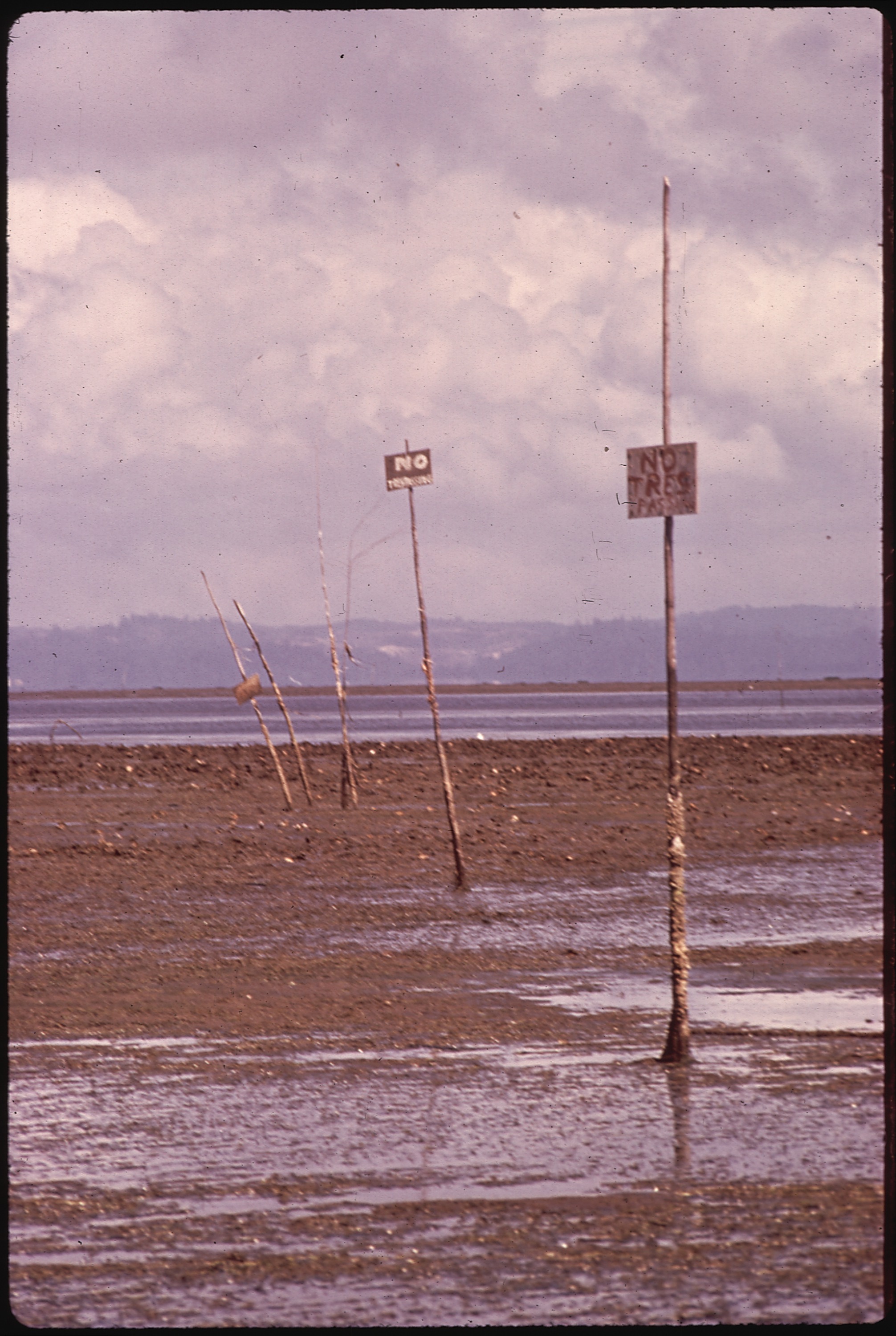
The canal also carries a significant commercial shellfish industry, including geoduck, and a great deal of tideland here is under lease or private ownership rather than open. A worked bed is somebody's crop, it looks like a beach, and the boundary is invisible.
Getting there, and what the drive is like
Hood Canal rewards being treated as a destination rather than a stop, largely because of how long it is.
Highway 101 runs the western shore for most of its length with the Olympics directly above it, and State Route 106 and 300 work the southern hook toward Belfair. From Seattle the usual approach is either the Hood Canal Bridge from the Kitsap Peninsula or south through Tacoma and Shelton, and the two ends of the canal are far enough apart that they are separate trips.
Services thin out quickly. Hoodsport, Union, Brinnon, Quilcene and Belfair are the towns, and outside them there is very little, so fuel and food are worth sorting before you commit to a tide at the far end. Signal is patchy along the western shore under the mountains.
Harvest oysters at Hood Canal's Hama Hama during Oyster RamaThe gear
Hood Canal is a shucking beach, so the kit is the Puget Sound oyster kit with a longer drive attached.
A proper oyster knife and a spare, because state law requires shucking on the beach and you will drop one. Short, stout, blunt-tipped, guarded. Not a kitchen knife and never a screwdriver.
A heavy glove for the holding hand, which is the hand that gets cut when a blade slips out of a hinge, and which you will be using on eighteen oysters in the cold.
Boots with grip. Oyster beds here are sharp, uneven and slick with algae, and the canal's beaches are steep in places.
A jar that seals, for meat in its own liquor, since the shells are staying where you found them.
A cooler with ice, which does double duty: quality on the drive home, and the Vibrio problem between May and September.
The two informational items are the ones that decide whether the trip happens at all. The annual beach season chart, because Hood Canal seasons are set per beach and published each year, so open last spring means nothing about this spring. And the current biotoxin status for that specific beach, which is a different agency and can change the same day.
Then the practical local additions: fuel and food sorted before you commit to a tide at the far end, because services thin out fast past Hoodsport and Brinnon, and signal is patchy along the western shore under the mountains.
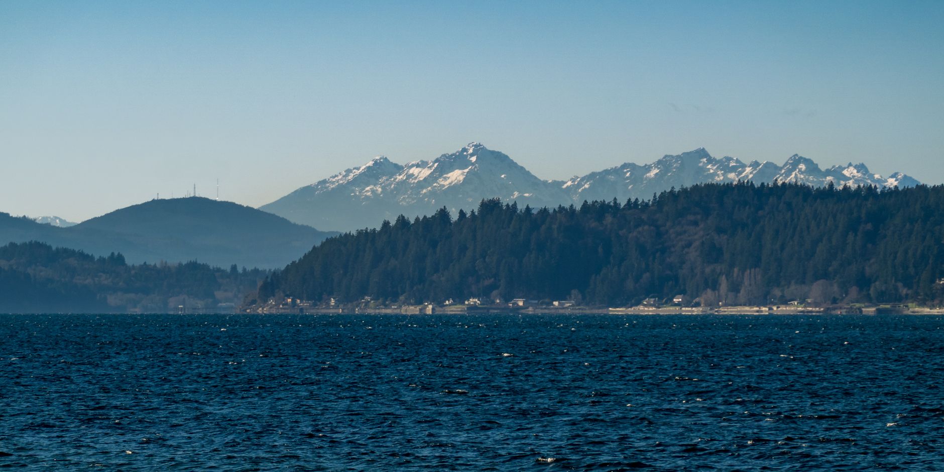
Binoculars are the optional item worth packing anyway, because the Olympics rise straight off the far side.
Getting the timing right
Three things have to line up and only one of them is predictable far ahead.
The tide is the predictable one. Oysters sit high enough that a low of around zero to plus one exposes plenty, so you do not need the extreme minus tides that geoducks demand, and there are many usable days a year. The arithmetic is in minus tides for clamming.
The season is the second, and it is per beach and published by the state.
The closure is the third and it is the one that moves. Paralytic shellfish poisoning closes Hood Canal beaches regularly and sometimes for months at a time, and the canal's poor flushing is part of why blooms persist here once they start. Vibrio is the separate warm-weather problem and the reason to avoid summer harvest and to cook what you take from May through September. All of it is in shellfish biotoxin closures.
Those three answers come from three different places and change independently, which is why Guidepole carries the beach season, the current closure and the ownership boundary together against the specific beach. On a shoreline where the beach two hundred yards along may be private, closed, or both, that is the difference between a morning and a drive.
Reading a Hood Canal beach
The canal's beaches are not interchangeable and a few minutes of looking saves an hour of picking over poor ground.
What you want is a beach with visible oyster shell worked into the substrate rather than clean sand or bare cobble, because the shell is both evidence of a productive bed and the cultch the next generation needs. A beach that has been picked hard and had its shells removed looks conspicuously clean, and it produces conspicuously fewer oysters.
Elevation is the other read. Oysters occupy a band rather than a whole beach, and on a given tide you want the zone that is exposed but still wet, generally the lower third of what the tide has uncovered. Working too high gives you dried, thin animals and working too low means you have run out of tide.
Look at the aspect too. South and west-facing beaches in the canal warm more, which is part of why the southern end sets naturally, and it also means those beds spawn earlier and go thin sooner in summer.
Finally, look at the shells already on the ground. A beach where the returned shells are piled at the high water line rather than spread at the tide height they came from is a beach where people are following the letter of the rule and not the point of it.
What else is out here
The canal repays a full day rather than a smash and grab at low water.
Dosewallips, Hamma Hamma, Duckabush and Skokomish are river mouths worth stopping at, and the Olympic Mountains rise straight off the western shore, which makes this one of the more dramatic drives in the state. Dungeness and red rock crab are both taken here, under their own seasons and marine area rules, covered in Dungeness crabbing in Puget Sound.
Shrimp, including spot prawns, are fished in the canal and Hood Canal sometimes gets an earlier spot shrimp opener than the rest of the Sound, which is in spot prawning in Puget Sound.
And geoduck and clam harvest happen on many of the same beaches, on lower tides, which is a reason to check what a given beach is open for rather than assuming that open for oysters means open for everything.
The short version
Hood Canal is a fjord more than six hundred feet deep whose entrance is crossed by a sill only about a hundred and fifty feet deep, so deep water sits for one to four months before it exchanges.
Stratification traps it, sinking plankton consumes its oxygen, and by late summer the deep southern canal can be severely hypoxic, with documented kills of sole, eelpout, cockles, butter clams and crab driven into the shallows.
The oysters are mostly above the problem, because hypoxia is a deep-water phenomenon and oysters are intertidal. In the worst events it reaches the shallows anyway.
The public beaches here are the best in the state and the most heavily used, so the rules are enforced: shuck in place, shells back at the same tide height, eighteen oysters, two and a half inches, license each.
Check the beach season, the biotoxin closure and the ownership before you go. They come from three sources and none of them is the one you checked last time.