Fish
Fish Fire
Fire Hike
Hike Bird
Bird


Western Montana is three or four different birding regions stacked in a two-hour drive. River valley bottom, glaciated pothole country, montane forest and alpine, each with a distinct bird list and none of them more than a morning apart.
It is also the part of this state where the access map is difficult, and where getting it wrong is both a legal problem and a discourtesy.
The Mission Valley, and the thing to understand first
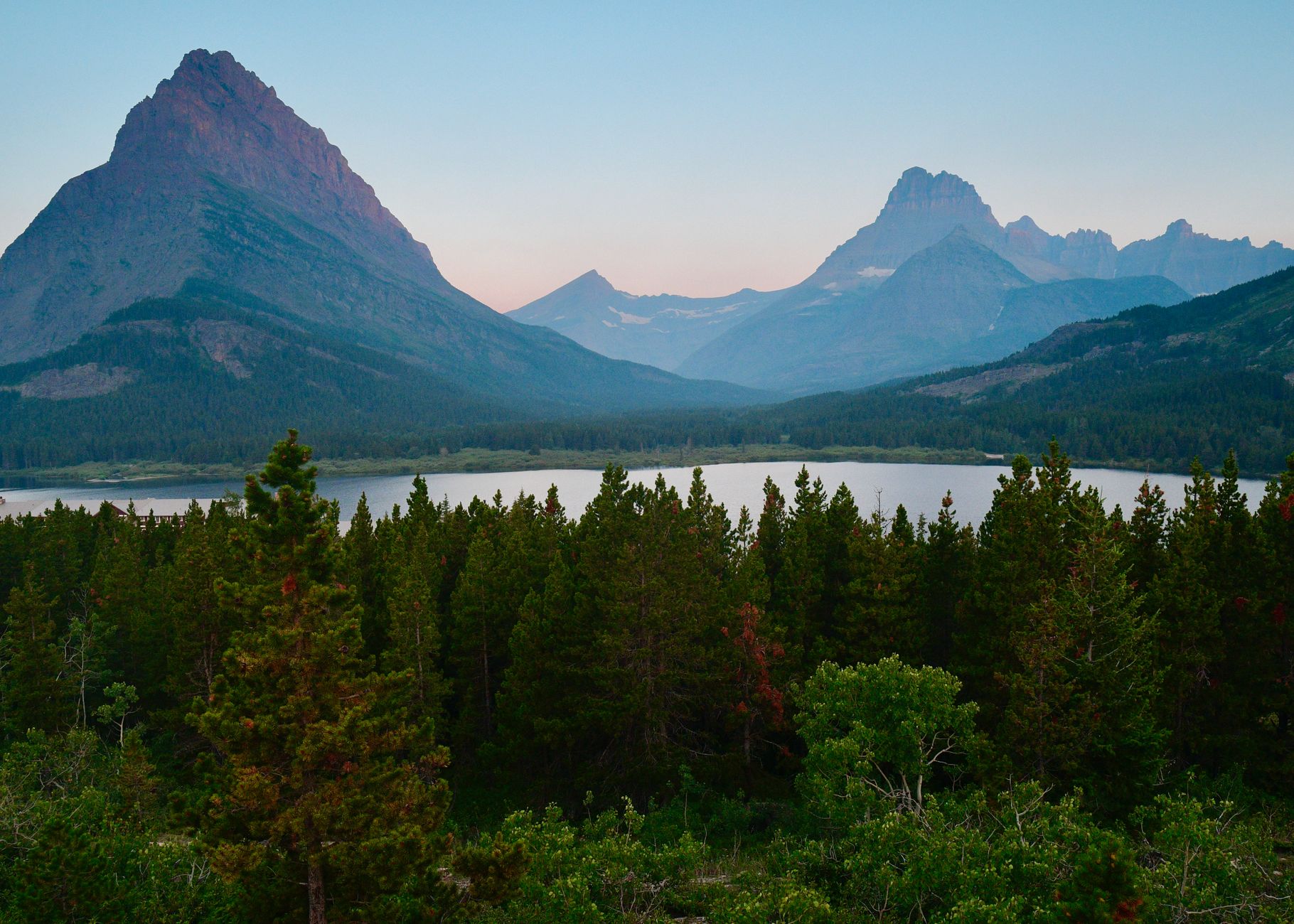
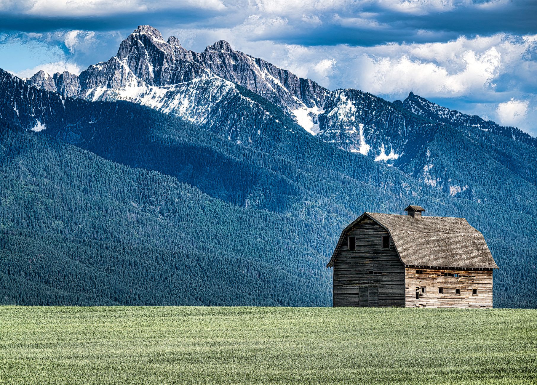
The Mission Valley sits under the abrupt east wall of the Mission Mountains, between Missoula and Flathead Lake, and it is glacial pothole country: hundreds of small wetlands scattered across grassland and hayfield with the peaks directly behind them. For birds it is outstanding. Ninepipe National Wildlife Refuge is the centerpiece, holding a Western Grebe nesting colony, a large Great Blue Heron colony, a Double-crested Cormorant colony, a substantial share of the Flathead Valley Canada Goose population, and a long list of ducks and marsh birds.
Here is the part that requires attention. The refuge sits on trust lands of the Confederated Salish and Kootenai Tribes, within the Flathead Indian Reservation. Under a cooperative agreement the general tribal recreation fee is waived for non-consumptive use of Ninepipe NWR by non-members, which means birding and wildlife viewing on the refuge itself does not require the tribal recreation permit.
The land around it is a different question entirely. The surrounding reservation lands, including the state-managed wildlife management area and the wider pothole country, are not covered by that waiver, and non-members generally need a CSKT recreation permit to use them, while fishing requires a tribal license in addition to a Montana one.
So the practical rule for the Mission Valley is to know which side of the line you are standing on, and to check the current CSKT requirements before you go. This is not a technicality. It is somebody's land, the rules are published, and the permits are inexpensive. Access within the refuge also changes through the year to accommodate nesting birds, though driving Ninepipe Road across the dam is available year-round.
A Day Birding in the Mission Valley, MontanaGrebe colonies, and how to watch one properly
The Mission Valley colonies are the regional specialty and they reward being treated carefully. Western and Clark's Grebes nest colonially on floating platforms anchored in emergent vegetation, generally in shallow water with reed cover, and a colony can hold a substantial number of pairs in a small area.
They are also acutely sensitive to disturbance. A boat or a person approaching a colony causes adults to leave nests, and eggs left exposed are taken by gulls and crows within minutes, or chill and fail, and there are documented cases of entire colonies failing after repeated disturbance. So the rules here are firm: watch from the road or from a distant bank with a scope and never approach by water during nesting; do not launch a kayak or canoe near a colony, which is the single most damaging thing a well-meaning visitor does at grebe sites; no drones, as with any colonial nester; and respect the seasonal access changes, which at Ninepipe exist precisely to accommodate nesting birds.
The good news is that the display and the colony activity are entirely visible at range with a scope, and watching an adult ferry a striped chick across open water on its back is not improved by being closer.
The Bitterroot
South of Missoula the Bitterroot Valley runs between the Bitterroot Range and the Sapphires, and Lee Metcalf National Wildlife Refuge near Stevensville is the anchor. It is a river-bottom refuge of cottonwood gallery forest, sloughs and ponds along the Bitterroot River, with a walking trail system and a wildlife viewing area, and it holds a completely different community from the Mission Valley potholes: riparian passerines, woodpeckers, owls and waterfowl on the ponds.
Spring migration through the Bitterroot bottomland is good, and the refuge is small enough to work thoroughly in a morning.
This is Montana: Freezout LakeFreezout Lake, and the east-side detour
This one is east of the divide rather than in western Montana proper, and it belongs in any birding plan for this part of the state. Freezout Lake Wildlife Management Area, near Choteau, is the staging ground for one of the great waterfowl movements in North America, where in late March and early April Snow Geese stop on the way north in numbers that can run into the hundreds of thousands, along with Tundra Swans in numbers that can approach ten thousand.
The event is weather-driven and the window is short. Birds arrive when the ice goes and leave when the weather lets them, and the peak can pass in a week, so Montana Fish, Wildlife and Parks posting counts during the season is the only reliable way to time it. Viewing is from the roads and dikes around the impoundments, largely from the vehicle, and the classic moment is a mass lift-off with the Rocky Mountain Front behind it.
A few practical notes. A Montana conservation license or state lands pass may be required for WMA access, so check the current rule. The roads are gravel and become impassable when wet. And it is cold, because late March on the Front is winter with better light. It is roughly a three-hour drive from Missoula, and in the right week it is worth every minute.
The gear
Western Montana birding covers a great deal of ground in a day, much of it on gravel, some of it on tribal land, and the gear list reflects both.
Bear spray you know how to deploy, which means having taken it out of the holster at least once. The Mission and Bitterroot valleys sit against mountains with both grizzly and black bears, and the riparian thickets that hold the best birds are exactly the habitat where an encounter happens.
A recreation permit from the Confederated Salish and Kootenai Tribes, if you are birding the Flathead Reservation outside the federal refuge. This is the item visitors most often miss. Much of the Mission Valley is tribal land, the tribes require their own permit for recreational use including birding, and it is straightforward to buy and genuinely enforced.
A spotting scope, for the grebe colonies at Ninepipe and for whatever is on the far side of a Freezout Lake pond.
A land ownership map, because the pattern here is federal refuge, tribal land, state land and private ranch interleaved without signage.
An air quality forecast in late summer, since smoke from regional fires now routinely closes out August visibility and there is no point driving four hours into it.
Layers for a thirty-degree daily swing, which is normal here in spring and autumn.
And a vehicle you trust on gravel, since most of the productive roads are not paved.
The mountains
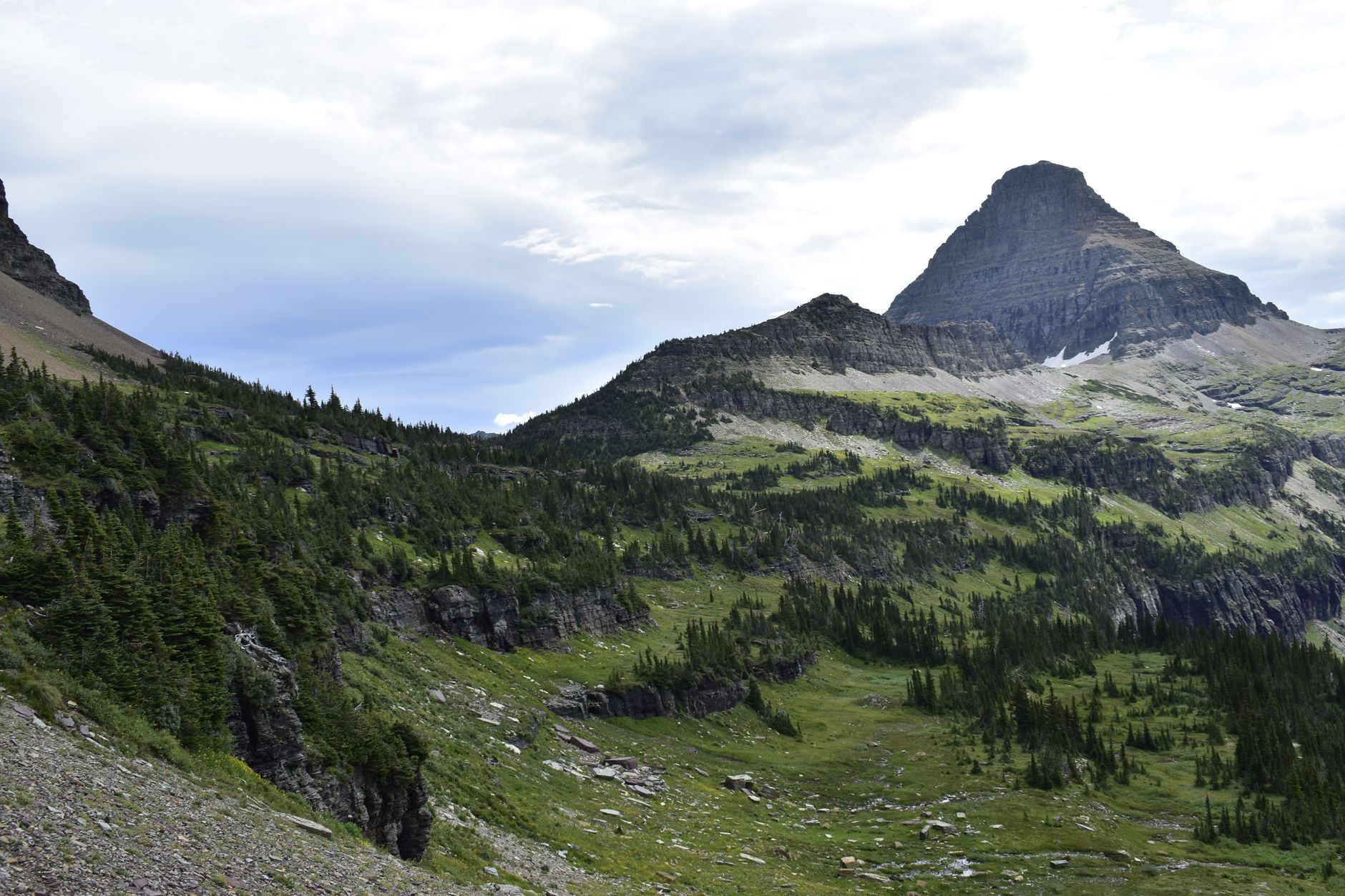
This is what most visitors come for and what western Montana does better than almost anywhere in the lower 48. Glacier National Park holds Harlequin Duck on fast water, with McDonald Creek the classic site in late spring, plus American Dipper, Black Swift at waterfalls, White-tailed Ptarmigan on the high ground and Clark's Nutcracker wherever there are whitebark pines. Going-to-the-Sun Road is seasonal and its opening date varies enormously with snowpack, frequently not until late June or July, and vehicle reservation requirements have applied in recent years during peak season, so check the current year's system before planning around it because it changes.
Away from the park, the Seeley-Swan corridor gives boreal forest species including Boreal Chickadee, Pine Grosbeak and, with luck and effort, Great Gray Owl, while the Blackfoot and the high country generally hold Northern Goshawk, Three-toed and Black-backed Woodpecker in burns, and Townsend's Solitaire.
State trust land, and the wider access map
This deserves its own note, because Montana handles it differently from neighboring states and visiting birders get it wrong. Montana holds school trust lands, scattered sections granted at statehood and managed to generate revenue for public schools. There are millions of acres of it and it appears on maps as public land, but it is not open in the same way national forest is: general recreational use requires a state lands recreational use license, which is included with a Montana hunting or fishing license and can also be bought separately. Some parcels are additionally leased and carry use restrictions, and some are legally inaccessible because they are surrounded by private land with no public road or easement in.
That last point is the checkerboard problem, the same one that produces corner-crossing disputes elsewhere in the west, where a section can be genuinely public and unreachable. So buy the license if you intend to use state land, check whether there is legal access rather than assuming a public parcel implies a public route to it, and do not cross private ground to reach public ground without permission.
The wider picture is why this region is close to the single strongest case for carrying an ownership map at all. Within a hundred miles you have a national wildlife refuge on tribal trust land with one fee rule, reservation land around it with another, a state wildlife management area with a third, state trust land with a fourth, national forest with a fifth, and private ranch with no public access at all, and almost none of it is distinguishable from the road. Guidepole Bird carries the ownership and management layer, so which agency or nation manages the ground you are looking at, and what that means for whether you may walk it, is part of the map rather than something you find out afterward.
Three other regional facts are worth carrying. Distances are Montana distances, and Missoula to Glacier is a substantial drive that the map compresses. Wildfire smoke in late summer is not a minor inconvenience, since it can reduce visibility to a mile and make being outside unwise for days. And bears are real in the Mission Mountains, the Bitterroot and Glacier, so carry spray, know how to use it, and behave accordingly on foot.
Timing, including the winter almost nobody does
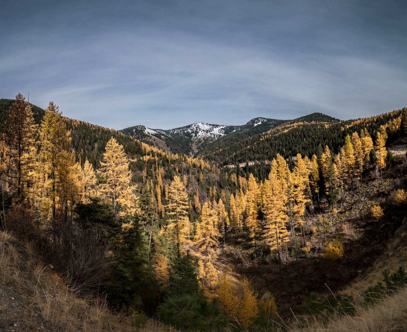
April and May give waterfowl and early migration in the valleys, grebes beginning to display at Ninepipe, and the low country accessible while the mountains are still shut. June is the best month overall, with breeding season across all elevations, grebe colonies active, Harlequins on the creeks in Glacier and long days. July and August open the high country and the alpine species while valley birding slows and heats up, with wildfire smoke a real variable. September and October bring raptor movement, waterfowl building and larch turning gold in the Seeley-Swan, which is worth a trip on its own.
Then there is winter, which is a different and much emptier trip. Bohemian Waxwing flocks move through the towns, sometimes in the hundreds, stripping mountain ash and crabapple, with Missoula, Hamilton and Kalispell all reliable in the right winter. Rough-legged Hawk arrives from the Arctic to hunt the valley bottoms and hayfields, and Snowy Owl appears in irruption years, generally in open valley country and on the Front rather than in the mountains. Northern Pygmy-Owl is more findable in winter, hunting by day at forest edges and often mobbed by chickadees, which is usually how you find one. American Dipper stays on open water all winter and is easiest to see against snow. Redpolls, crossbills and Pine Grosbeak move down in irruption years with the composition varying enormously between winters. And waterfowl concentrate on whatever stays unfrozen, which is a short list and therefore easy to work.
The caveats are real: short days, cold that is a hazard rather than a discomfort, road conditions that change fast, and many forest roads unplowed. But you will have the place to yourself.
A week that works
Start in Missoula and give a morning to Lee Metcalf in the Bitterroot. Move north to the Mission Valley for two days, with the refuge at dawn for the grebe colony and the surrounding pothole country worked from roads you have confirmed you may use, permit in hand. Then take Glacier for three days if the season allows, with McDonald Creek early for Harlequins and the high country once Going-to-the-Sun Road is open and reserved.
Come in June. Bring bear spray, a scope, and the CSKT permit rules read in advance rather than guessed at.
For the specifics, Bowdoin NWR covers the prairie half of the state, and where to see trumpeter swans covers a Montana recovery story worth building a trip around.
The grebe display that makes the Mission Valley worth a special trip is described in more detail in Bowdoin National Wildlife Refuge, which is the other Montana site for it. The species that was brought back from near-extinction at the state's southern edge is in where to see trumpeter swans. The permit and ownership question that shapes access here is in state trust lands and access and can you legally bird here. The refuge rules that differ from park rules are in a wildlife refuge is not a park.
One practical note on the tribal permit, since it is the detail that most often goes wrong. It is a conservation permit rather than a fishing license, everyone in the vehicle needs one, and it is sold online and at sporting goods counters around Polson and Ronan. Buying it is a fifteen minute errand that turns most of the best birding in the valley from a legal risk into an ordinary morning.