Fish
Fish Fire
Fire Hike
Hike Bird
Bird


Almost everyone who visits Yosemite for three days spends three days in Yosemite Valley.
The Valley is seven square miles. The park is roughly 1,200 square miles. The Valley holds the overwhelming majority of the visitors, all of the traffic, and about a tenth of what makes this park extraordinary.
Three days is the point at which you can fix that, and the fix is a road that climbs to nearly 10,000 feet.
Before anything: the 2026 rules
Two current facts worth having. In 2026 no timed-entry reservation is required to enter Yosemite, because the Park Service announced in February 2026 that it would not run a reservation system for the year. That is a change from several recent seasons, and it means arriving early is about parking rather than permission.
From July 27 through October, a section of the Mist Trail is closed on weekdays: the stretch from its junction with the John Muir Trail above the Vernal Fall footbridge to the top of Vernal Fall, shut Monday to Thursday between 7:00am and 3:30pm. It stays open Fridays through Sundays, on holidays, and on those weekday evenings from 3:30pm through 7:00am.
Both of these change year to year, so confirm with Yosemite National Park before you travel.
Day one: the Valley, properly
One day here is enough if you use it well, and the whole trick is to be in the Valley before 8am. Before eight you park where you like, and by ten you are hunting, so park once and use the free shuttle around the eastern half of the Valley rather than driving between trailheads and finding full lots.
Then pick one climb rather than sampling three. The Mist Trail to Vernal Fall is 3 miles round trip on granite staircases beside the falls, soaking in spring, and continuing to Nevada Fall makes it about 7 miles, with the standard loop returning on the better-graded John Muir Trail. Up the Mist and down the John Muir is much kinder on knees. Upper Yosemite Falls is the alternative at roughly 7.2 miles and six to eight hours, trading spray for a view down the Valley.
Spend the evening at Tunnel View in low light, or in a meadow, rather than in a line.
Strenuous Yosemite Valley Day HikesDay two: Tioga Road and the high country
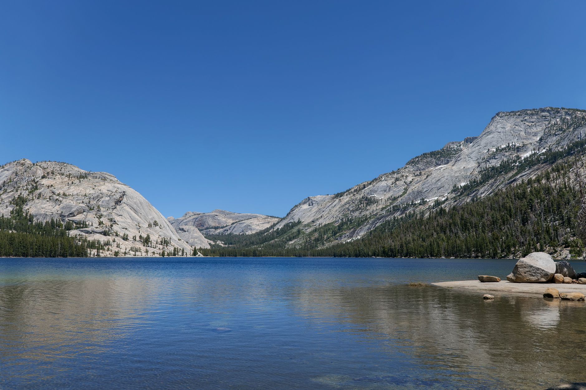
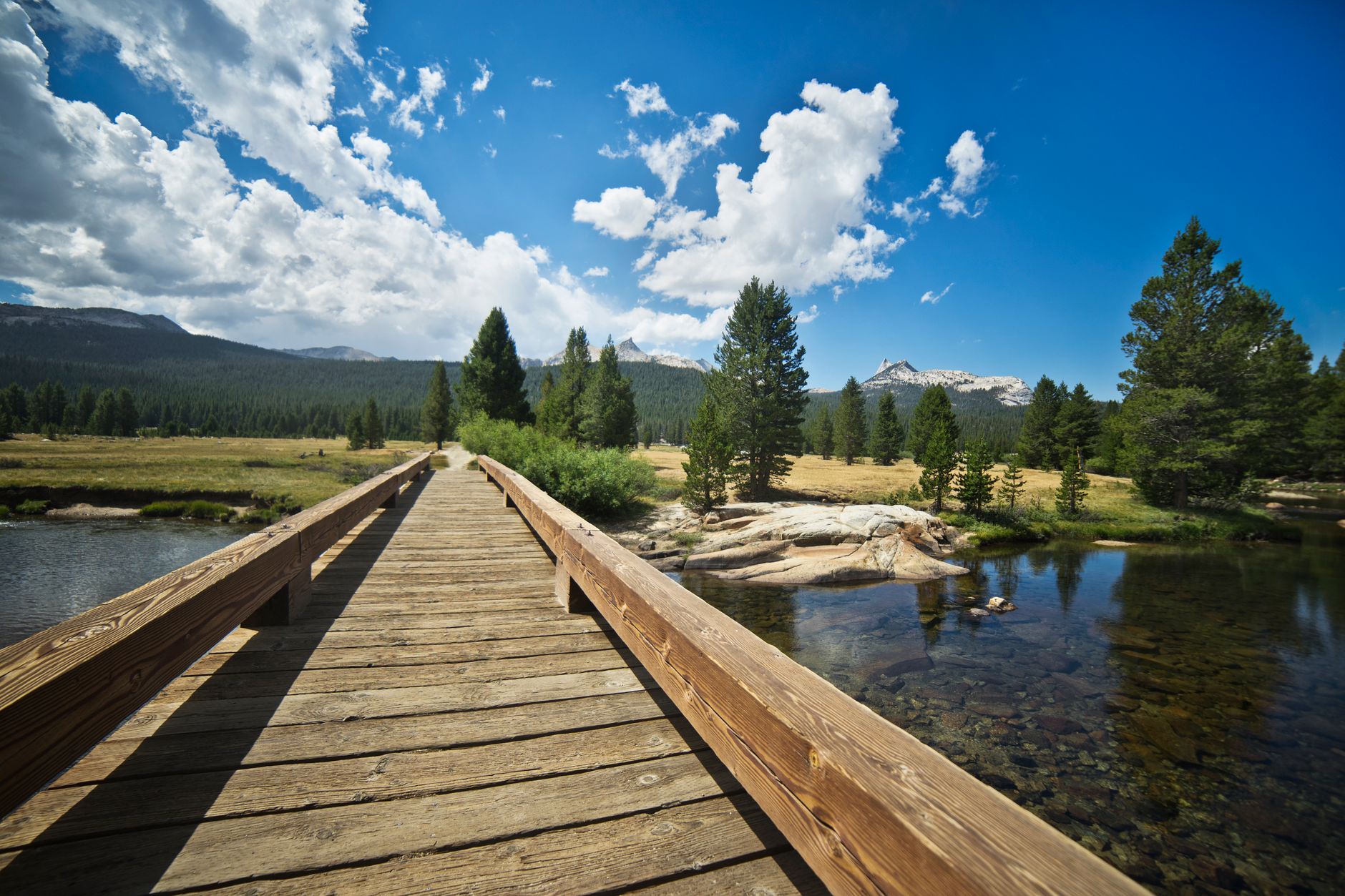
This is the day that justifies three. Tioga Road climbs east out of the park to 9,945 feet at Tioga Pass, and the landscape changes completely into open granite domes and slabs, subalpine meadow, lodgepole pine and lakes, with a fraction of the Valley's crowds. Tuolumne Meadows at about 8,600 feet is the center of it, a broad subalpine meadow with the Tuolumne River running through and granite domes rising around it.
The road is closed by snow for much of the year, typically opening between late May and early July and closing with the first serious storms, so if it is shut, day two becomes something else entirely and the itinerary above is a different trip. Check before building a trip around it.
Four hikes cover the range up there. Lembert Dome is short and steep to an enormous view over the meadows. Cathedral Lakes is the classic, around 7 miles round trip to lakes beneath the spire of Cathedral Peak. Clouds Rest from Tenaya Lake is about 12.5 to 14.5 miles with 1,775 feet of gain, finishing on a narrow granite fin nearly a thousand feet above Half Dome, and needing no permit at all. And Gaylor Lakes, from Tioga Pass itself, is short, high and quiet.
Four Mile, Panorama and John Muir Trail LoopDay three: choose your third landscape
Three good options, and they are different. Mariposa Grove, in the park's south near Wawona, holds several hundred mature giant sequoias including the Grizzly Giant and the California Tunnel Tree. It is a long drive from the Valley and it deserves its own half day rather than a corner of another one, with a shuttle operating in season from Wawona.
Glacier Point, reached by a road roughly an hour each way from the Valley floor, puts you level with Half Dome looking down into the Valley from 3,200 feet above it, and the Panorama Trail descends from there back to the Valley as a superb one-way hike of around 8.5 miles with Half Dome in view the whole way, if you can arrange transport.
Hetch Hetchy, in the northwest, is the quiet one: a reservoir drowned a valley John Muir argued was Yosemite's equal, and the trail along its north shore to Wapama Falls is spectacular in spring. It opens earlier in the year than the high country, which makes it the right answer in April and May.
Two of those three sit behind seasonal gates, and Tioga Road and Glacier Point Road between them decide what a Yosemite itinerary can contain in any given month. Guidepole Hike carries road and trailhead access status alongside the routes, which in a park where the difference between a heavy snow year and a light one is whether half the itinerary exists is the check worth making first.
The waterfall calendar
Yosemite's waterfalls are fed almost entirely by snowmelt rather than by rain or springs, and that makes them intensely seasonal in a way that catches visitors out every year.
Peak flow is May and early June when the snowpack is melting hard, which is when Yosemite Falls thunders, when the Mist Trail soaks you, and when Bridalveil blows sideways across the valley in the afternoon wind. By late July the flow is dropping fast, and by August or September Yosemite Falls is often completely dry, so photographs of a blank granite wall where the tallest waterfall in North America is supposed to be are a routine summer disappointment. Bridalveil and Vernal usually keep some water, and Nevada Fall is the most reliable of the big ones.
Autumn brings almost nothing until the first storms. Winter and early spring can be spectacular after rain-on-snow events, and February brings the Horsetail Fall phenomenon, when the setting sun lights an ephemeral fall on El Capitan's east face so that it appears to glow orange. Conditions have to align exactly, and the park manages the crowds it attracts with parking restrictions rather than a reservation, though a permit has been required in some past years, so confirm before you go.
If waterfalls are why you are coming, come in May. If high country is why you are coming, you cannot, because Tioga Road will still be closed.
Getting around the Valley
The Valley floor is seven miles long and the parking is the constraint rather than the driving. The free shuttle runs a loop through the eastern Valley, stopping at the trailheads, the villages and the lodges, and in summer it is by a wide margin the fastest way to move around, because the lots at Yosemite Falls, Curry Village and the Mist Trail fill early and then stay full.
So park once and leave the car. The standard advice is to arrive early, take whatever spot you find in the Yosemite Village or Curry Village lots, and use the shuttle, bikes or your feet for the rest of the day. Bikes are excellent here, with twelve miles of paved path on a flat valley floor and rentals at Yosemite Valley Lodge and Curry Village. And note that the Valley loop road is one-way in sections, which means a missed turn can cost you twenty minutes.
Where to sleep
The geography rewards moving. Valley lodging at Curry Village, Yosemite Valley Lodge or the Ahwahnee puts you walking distance from the shuttle and makes the 8am start trivial, and it books months ahead. Tuolumne Meadows has a campground and, seasonally, tent cabins, and staying up there for day two removes a long drive at both ends and lets you be on a high-country trail at dawn.
Outside the park, meaning El Portal, Mariposa, Groveland, Oakhurst or Lee Vining on the east side, is far easier to book and adds an hour or more each way. The strongest three-day shape is two nights in the Valley and one night in Tuolumne, or the reverse if the road opens late.
The gear
Three days lets you use the whole park, which means the Valley at four thousand feet and Tioga Road at ten, and the gear list has to span both.
Trekking poles, for the same reason as on a one-day trip and more so, because three consecutive days of steep descent is what breaks people.
Layers for a six-thousand-foot range. Ninety-five degrees in the Valley and forty-five with wind at Olmsted Point is a normal single day here, and the mistake is packing for the place you slept.
Three liters of water capacity, since the high country trails have long dry stretches and the Valley is hot.
An America the Beautiful pass.
Shoes with grip, for polished granite in the Valley and slabby granite up high, which are different surfaces requiring the same solution.
Sun protection for the high country, which is the part people underestimate. Tuolumne sits above eighty-five hundred feet with thin dry air and reflective granite, and a day on Lembert Dome or Clouds Rest delivers considerably more ultraviolet than a day in the Valley.
And bear-proof storage discipline, which in Yosemite means using the metal lockers at every trailhead and campsite and leaving nothing scented in a vehicle. This is enforced, the fines are real, and the reason is that a bear that gets a reward from one car goes on to break into fifty.
Bears, and the food rules
Yosemite has the most developed bear management program of any national park, and the rules are enforced rather than suggested. Food storage lockers are provided at campgrounds, trailheads and parking areas, and using them is mandatory. Nothing scented may be left in a vehicle, meaning not food, not toiletries, not an empty wrapper, not a cooler, because black bears in Yosemite learned to break into cars decades ago and they are good at it. A parked car with a visible grocery bag is a broken window.
On the trail, food may be carried freely on a day hike, while overnight trips require a bear canister, which is a permit condition rather than a suggestion.
At the height of the problem in the late 1990s the park recorded well over a thousand incidents a year. Aggressive enforcement, better lockers and public education have cut that by roughly nine-tenths, which is one of the more successful wildlife management stories in the park system, and it works only because visitors comply. These are black bears rather than grizzlies, bear spray is prohibited in Yosemite, and if a bear approaches you make noise, look large, and do not run or surrender food.
The other safety rule worth stating plainly: stay on trail near the falls, because the polished granite above Vernal and Nevada is where the fatalities happen, almost always people stepping past a railing.
Seasons
Spring, April to June, has the waterfalls at full volume and the Valley at its best, but Tioga Road is likely closed, which is when Hetch Hetchy earns its place in the itinerary. Summer, July and August, has everything open and everything busy, with hot Valley days, cool high country, and the Mist Trail weekday closure in effect.
September and early October is the sweet spot, with Tioga Road still open, cooler air, thinner crowds, better light and weak waterfalls. Late autumn and winter closes Tioga Road and Glacier Point Road, quietens the Valley enormously, and is beautiful, with traction devices worth carrying.
A few things hold in any season. There is an entrance fee, covered by America the Beautiful. Signal is patchy in the Valley and absent in the high country. Altitude matters on day two, because Tuolumne at 8,600 feet and Tioga Pass at 9,945 affect visitors arriving from sea level, and sleeping up there the night before helps. And dogs are prohibited on nearly all trails.
The better half of the park
Give the Valley one day, start it before eight, park once, and do one climb properly. Give day two to Tioga Road, because that is the park almost nobody budgets for and it is the reason to have three days rather than one. Give day three to the sequoias, Glacier Point or Hetch Hetchy depending on the season.
Check whether Tioga Road is open before you plan any of it, because in a heavy snow year the itinerary above is a different trip entirely.
And if you take one thing: the high country is not a consolation for the Valley being busy. It is the better half of the park.
With a single day, one day in Yosemite covers the choice. The high country's finest summit needs no permit at all, Clouds Rest, while the famous one runs a March lottery: the Half Dome cables.
The compressed version is in one day in Yosemite. The permitted climbs worth building a day around are in the Half Dome cables and Clouds Rest. The east side of the same crest, reached over Tioga Pass, is in Eastern Sierra day hikes, and the hardest day hike in the range is in Mount Whitney as a day hike.