Fish
Fish Fire
Fire Hike
Hike Bird
Bird


In most of the United States, the beach below the high tide line belongs to the public. The state holds it in trust, you may walk it, and in most places you may dig on it.
Washington is not most of the United States. Washington sold its tidelands, and by the time the legislature stopped the practice in 1971, an estimated seventy-one percent of them were in private hands.
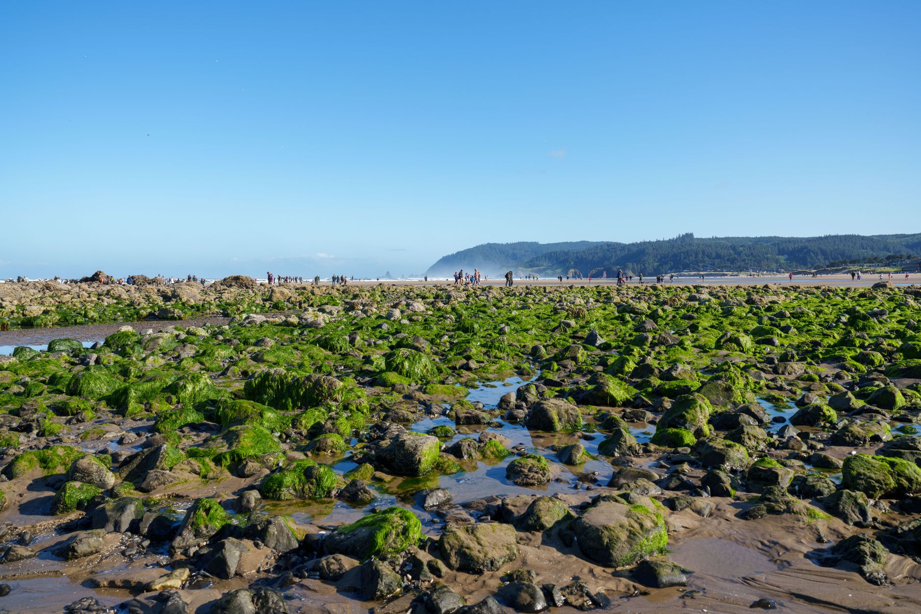
There is nothing at the waterline that tells you which kind you are standing on.
How a state came to sell its beaches
Washington entered the Union in 1889 with the same public trust inheritance as every other coastal state: under the equal footing doctrine, the new state took title to the beds of its navigable waters and held them for the public.
It then did something almost no other state did, and began selling them. Through the late nineteenth and twentieth centuries the state conveyed tidelands into private ownership, sometimes to oyster growers, sometimes to waterfront property owners, sometimes to industry, generally cheaply and generally without much thought about what it would mean a century later. The sales continued until 1971, when the legislature ended them.
What remains is roughly a third of the state's tideline in public hands, in a scattered and irregular pattern that tracks nineteenth-century land dealing rather than anything visible on the ground. Some of it is state park. Some is Department of Natural Resources aquatic land. Some is county or city. The Department of Natural Resources manages around 1,400 miles of tidelands, a substantial share of which is classified for public use.
Everywhere else, the beach in front of somebody's house is that person's beach, sometimes down to mean low water, and the shellfish in it are their shellfish.
The sales also came in categories that still shape the map. First class tidelands were those in front of incorporated cities, second class tidelands everything else, and they were sold under different rules at different times, which is part of why the resulting pattern looks arbitrary rather than planned. Some parcels went down to the line of extreme low tide and some stopped at mean low water, so even two neighboring private tidelands can extend different distances toward the water.
Nothing about that history has been undone. Since 1971 the state has stopped selling and has bought some tideland back, and land trusts and counties have added more, but reversing a century of conveyances is slow and expensive work that proceeds parcel by parcel. The practical position for anyone reading this is that the pattern you are standing in was set before living memory and is not going to simplify.
Upland and tideland are separate things
This is the part that surprises people, and it works in both directions.
Owning waterfront property does not automatically mean owning the tideland in front of it. The two were conveyed separately, and there are Washington homeowners who own to the bulkhead and no further, standing on public beach when they walk down to the water.
The reverse is also true and more common. A tideland parcel can be owned by somebody whose house is nowhere near it, or by an oyster company, or by a family who inherited it three generations ago and has never seen it. There is no requirement to post it and most of it is not posted.
The consequence is that the visual cues everybody uses are worthless. A path down to the beach means nothing. The absence of a fence means nothing, because fences do not survive on a beach. A neighbor digging fifty yards away means nothing. Other people's footprints in the sand mean nothing at all, and the fact that people have dug there for years is evidence of habit rather than of right.
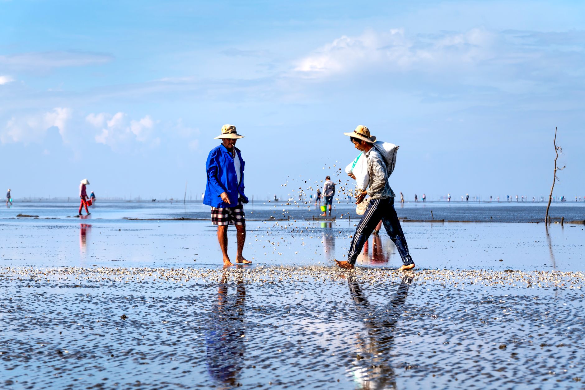
Clam Digging in Early Spring on a Puget Sound Public BeachWhy this matters more for shellfish than for walking
Walking and digging are different legal acts with different answers, which is a distinction people routinely miss.
Washington recognizes a limited public right to walk below the ordinary high water mark in some circumstances, and the practical culture around beach walking is relatively relaxed. Taking shellfish is not walking. The shellfish in a private tideland belong to the tideland owner, and digging them is theft rather than trespass, which is a different offense with a different attitude behind it.
Most state recreational shellfish rules do not extend onto private tidelands for personal use. The season, the limit and the license are the state's business on public beaches. On a private beach the owner's permission is the gate, and the state's open season is irrelevant to whether you may be there.
This is also where enforcement is real. Fish and Wildlife officers do work the public beaches during announced digs, and tideland owners on the more heavily dug stretches of Puget Sound are well organized, know their boundaries precisely, and call.
The treaty rights nobody mentions and everybody should
Any honest account of Washington tidelands has to include this, because it is a live legal reality rather than history.
The treaties signed in the 1850s reserved to the tribes the right to take fish and shellfish at usual and accustomed grounds. The state then sold the tidelands anyway. In 1994, in the case usually called the Rafeedie decision, the federal court held that the treaty right to shellfish survived those sales, and that tribes are entitled to take up to half the harvestable shellfish from most tidelands, including privately owned ones, subject to conditions worked out over years of subsequent negotiation.
The practical effect for a recreational digger is small but worth understanding. Tribal harvest on a public beach is a treaty right being exercised, not poaching, and it is frequently mistaken for the latter by people who do not know the history. The state's recreational share is set with tribal harvest accounted for, which is part of why some beaches have shorter seasons or lower limits than the biology alone would suggest.
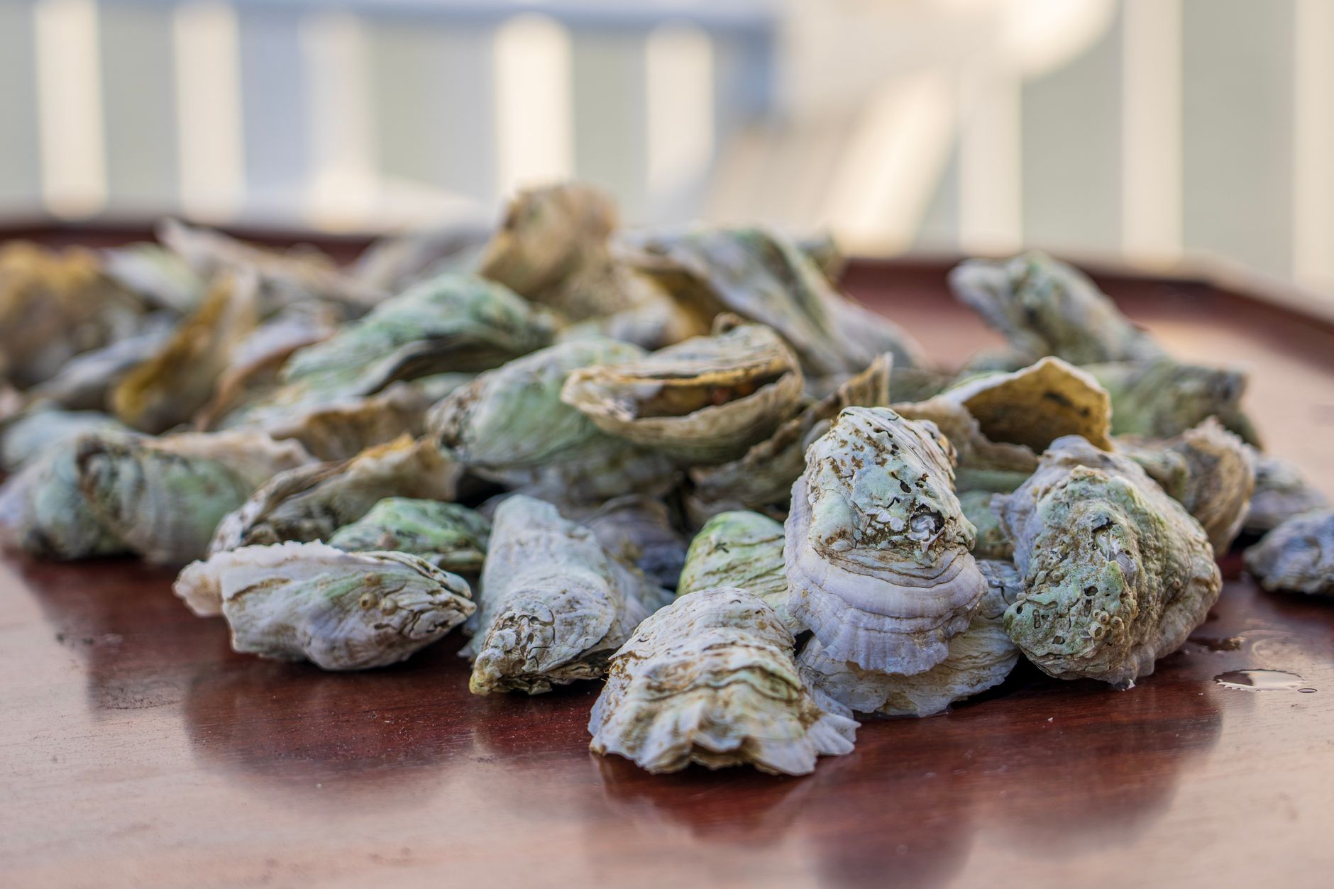
Shellfish Harvest from a Puget Sound Public BeachHow to actually answer the question
The good news is that the state has done a great deal of the work, because it had to.
The Department of Fish and Wildlife publishes a list of public shellfish beaches with maps, and the Department of Natural Resources publishes its own tideland maps. Those are the authoritative starting point and they should be the first check, not the last. Many public beaches are marked at the access point with a sign giving the beach name and the boundaries, and where those exist they are reliable.
The difficulty is at the edges. A public beach has ends, those ends are surveyed lines rather than features, and a public beach two hundred yards wide sitting between two private parcels is the normal case rather than the exception on Puget Sound. Walking a hundred yards along the sand while digging is how an entirely law-abiding person ends up on somebody else's tideland, and the boundary is invisible from where you are standing.
That last problem is a mapping problem, which is the whole reason Guidepole carries the parcel and ownership layer under the tideline rather than shading the coast a single color. Public and private tideland read differently on the map, the boundary sits where the survey puts it rather than where the beach narrows, and the biotoxin closure status for that specific beach sits on the same screen. The question is not whether public beaches exist, because they do and they are listed. It is whether the fifty yards you have drifted into while working a tide is still one of them.
The rest of the country, briefly
Washington is the extreme case and it is not the only complication.
Maine and Massachusetts are the other genuine outliers, both operating under a colonial ordinance from the 1640s that conveyed private ownership down to the low water mark, reserving public rights only for fishing, fowling and navigation. Whether digging clams counts as fishing under that reservation has been litigated and the answer is not uniformly comforting. Maine adds a second layer: shellfish licensing there is largely municipal rather than statewide, so the town office, not the state, decides whether you may dig and how many licenses exist.
Most other coastal states are simpler. The public trust generally runs to the mean high tide line, the beach below it is public, and the constraint on harvest is the season and the license rather than the ownership. Rhode Island is unusually generous to residents. Florida, Alaska, the Gulf states and the mid-Atlantic all treat the intertidal zone as public in the ordinary way.
The rule of thumb that travels: in New England, ask who licenses. In Washington, ask who owns. Everywhere else, ask what the season is.
The gear
Most of the equipment for a tideland trip is ordinary. What is not ordinary is that two items on this list are informational rather than physical, and they are the two that decide whether the trip is legal.
The state public beach list, downloaded before you leave, is the first. It is authoritative, it is not what an app or a forum post gives you, and the reason to download rather than look it up on arrival is that beach accesses have poor signal and the question cannot be answered by looking at the beach.
A landmark habit rather than a device is the second, and it is free. Before you start, pick something you can see from the water at the end of the public section and note it. You will drift a hundred yards while working a tide without noticing, and a surveyed boundary line is invisible.
A shellfish license, which is a separate question from access and does not grant it.
A clam gun or a shellfish rake, depending on the beach and the species, and the state's rules about which is permitted where.
A mesh bag and a hard cooler, so the catch stays alive on the beach and cold in the car.
Boots that come off in mud rather than waders you cannot get out of, because Puget Sound tideflats are deeper and stickier than they look and a boot lost mid-flat ends a trip.
And a tide table corrected for your actual beach rather than for the nearest reference station, since the correction can be forty minutes and the working window is not long.
What to do before you dig
The sequence is short and the order matters, because each step can end the trip and the cheap checks come first.
Confirm the beach is public, using the state's own list rather than an app screenshot or a forum post. Confirm the boundaries of the public section and pick a landmark you can see from the water, because you will drift. Confirm the beach is open for the species you want, which is the biotoxin question and a separate one entirely. Confirm the season and your license. Then look at the tide, which decides whether any of it is possible.
If the beach turns out to be private and the digging looks good, the answer is to ask. Tideland ownership is a matter of public record, an owner can be identified, and a surprising number will say yes to a polite request for a specific day. That is a considerably better outcome than the alternative, and it is how the reputation of recreational diggers gets built or lost on a stretch of coast.
One further wrinkle is worth knowing before a first trip. Some Washington public tidelands are open only seasonally, and the season is set for the beach rather than for the species, so a beach that is listed as public may still be closed on the day you arrive for reasons that have nothing to do with biotoxins. The Department of Fish and Wildlife's beach list carries the season alongside the ownership, which is why it is the right document to work from rather than a map that shows only who owns what.
The short version
Washington sold about seventy-one percent of its tidelands into private ownership before stopping in 1971, which makes it unlike almost every other coastal state, and none of it is marked at the waterline.
Owning the upland does not mean owning the tideland, and vice versa. Walking and digging are different legal questions, and the shellfish in a private tideland belong to its owner regardless of what the state season says. Tribal treaty rights to half the harvestable shellfish survived the sales and are a live part of how seasons are set.
Use the state's public beach list, note where the public section ends, and remember that you will drift while you work. In New England ask who licenses; in Washington ask who owns; elsewhere ask what the season is.
Whether the beach is open is the other half of this, and it is covered in shellfish biotoxin closures. The tide window is in minus tides for clamming. The freshwater and river equivalent of this whole problem is the ordinary high water mark.
What you need in your pocket once you have answered the ownership question is in shellfish licenses by state, which is a different question again and one that varies more than most people expect. The Washington version of all of this in practice is picking oysters on Puget Sound, and the New England version, where the license rather than the ownership is the obstacle, is in quahogging in Rhode Island.