Fish
Fish Fire
Fire Hike
Hike Bird
Bird

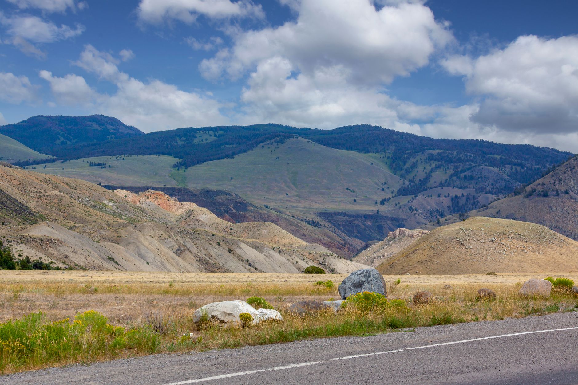

Drive south from Missoula down Highway 93 and the range on your right presents one of the more legible pieces of geology in the American West.
The Bitterroot Mountains run along the Montana-Idaho line, and their eastern face is cut by a row of parallel canyons, spaced along the valley like the teeth of a comb. Each was carved by its own glacier. Each has a road running a few miles to a trailhead and a trail running into it beneath granite walls.
There are more than a dozen of them, they are almost all excellent, and most visitors have heard of one.
Why the canyons look like this
The Bitterroot front is a fault-block escarpment, meaning the range was lifted along its eastern edge while the valley dropped, and Pleistocene glaciers then worked down each drainage, carving U-shaped canyons with steep walls and flat floors. The rock is granite and gneiss, which fractures into the clean vertical faces that make this a serious rock climbing destination as well as a hiking one.
The practical result for a hiker is unusual and very welcome. The canyon floors are nearly flat for miles, so you walk in beside a creek under thousand-foot walls, gaining almost nothing, and the scenery is entirely disproportionate to the effort. Then, if you want, the trail climbs steeply at the head of the canyon toward lakes and passes. Each canyon offers both an easy walk and a hard one, on the same trail.
Blodgett Canyon
The best known, and the one to do first. From the trailhead near Hamilton the trail runs level for several miles up a broad canyon floor beside Blodgett Creek, with granite walls rising over a thousand feet on both sides. Climbers work the faces above, and the walls here are among the most significant in Montana.
At roughly 3.5 miles there is a waterfall, which makes a natural turnaround for a half day of very easy walking with spectacular surroundings. Beyond that the trail continues deep into the Selway-Bitterroot Wilderness, climbing eventually toward Blodgett Lake, which is a long backpacking objective rather than a day hike.
Separately, the Blodgett Canyon Overlook is a short steep trail from the Canyon Creek side, climbing about 900 feet to a viewpoint looking straight down the canyon. It is the photograph everyone takes of this range, and it is under a mile and a half each way.
The Blodgett Canyon Trail, Bitterroot National ForestThe others, briefly
This is the part worth knowing, because Blodgett gets the traffic and the rest do not. Bass Creek near Stevensville is the northernmost of the popular ones, a gentle canyon walk to Bass Creek Falls with a very easy grade and a longer continuation to Bass Lake. Kootenai Canyon, between Stevensville and Victor, runs beside a fast creek for miles under walls with a waterfall a few miles in, and it is one of the best easy-to-moderate options in the range.
Mill Creek near Woodside climbs more than the others early on and reaches a waterfall at around three miles, continuing to Mill Lake for a long day. Lost Horse Canyon south of Hamilton has a road running deep into it, giving access to higher trailheads and the interior of the wilderness. And Canyon Creek, Sawtooth, Big Creek, Fred Burr, Roaring Lion, Sheafman and others fill in the row, several with lakes at their heads.
The pattern holds throughout: flat and easy for the first few miles, then steep if you continue.
Going higher: lakes and passes
If you want the alpine rather than the canyon floor, the range delivers, but it asks for the climbing you avoided lower down. Bear Creek, Glen Lake, Bass Lake, Mill Lake and Blodgett Lake all sit in cirques at the heads of their canyons, typically reached by long days or overnights with substantial gain at the end.
Trapper Peak, at 10,157 feet the highest summit in the Bitterroots, is a genuine mountain day, roughly eight miles round trip with around 3,700 feet of gain from a high trailhead, on a non-technical route with an alpine finish. It is the range's marquee summit and it is nothing like the canyon walks. Beyond the crest, the Selway-Bitterroot Wilderness is one of the largest wilderness areas in the lower 48, and the canyons are its doorways.
That boundary is worth knowing about before you cross it, because the rules change at it rather than at anything you can see. Group size limits, mechanized travel and in places camping restrictions apply inside the wilderness and not on the national forest you walked in on, and the line is typically marked with a small sign on a tree. Guidepole Hike carries the wilderness boundary and the managing agency alongside the trail, which on a canyon walk that quietly becomes a wilderness walk a few miles in is the useful thing to have.
The history in the valley
The Bitterroot is one of the more historically dense valleys in the northern Rockies, and some of it is visible from the trails. The Salish, the Bitterroot Salish for whom the valley was home, lived here until forced removal to the Flathead Reservation in 1891. The bitterroot plant itself, Lewisia rediviva, was a staple food dug in spring on the dry benches, and it is Montana's state flower, still blooming pink and low on the open slopes in May and June, on ground that looks incapable of supporting anything.
Lewis and Clark came down the valley in September 1805 on their way west, camped at Travelers' Rest near modern Lolo, and crossed the range by the Lolo Trail in a grim, starving passage over the Bitterroot divide that nearly ended the expedition. They returned through the same country in 1806, and Travelers' Rest is one of the very few campsites of the expedition confirmed by physical archaeology. The Nez Perce came through in 1877, moving up the valley during their flight, and the remains of the hastily built Fort Fizzle near Lolo mark an attempt to stop them that failed without a shot.
Fruit farming boomed here in the early 1900s on the strength of an irrigation scheme and an aggressive land promotion, and the ditches that fed the orchards still cut across the lower canyon trails, with the Big Ditch and the flumes on the canyon walls visible on several approaches. And the 1910 fire, the Big Burn that took three million acres across Idaho and Montana in two days that August, ran through this range and reshaped the entire United States Forest Service, which was five years old at the time and staked its future on suppressing fires exactly like it. A century of that policy is part of why the 2000 fires burned as they did.
Is This the Most Beautiful Canyon in Montana? Blodgett CanyonThe fire history is visible
This is worth understanding, because you will walk through it. The Bitterroots burned extensively in 2000 in a season that reshaped a great deal of this range, and there have been significant fires since, so large sections of several canyons show standing dead timber with regrowth now decades old in places and recent in others.
On the ground that means more open views than an unburned canyon would offer, dense young lodgepole regenerating in thickets, falling snags in wind, and stretches of trail that are hot and shadeless in summer. It also means the fire-scarred slopes above the canyon floors shed rock more readily than they used to.
What the range is like to walk in
The rock is everywhere. Granite and gneiss make up the walls, the talus and much of the trail surface higher up, with bare slabs, blocky boulder fields and clean vertical faces constant throughout. Blodgett in particular is a nationally significant climbing venue, and it is entirely normal to be walking a flat trail and hear voices coming from four hundred feet up a wall.
The creeks are loud and cold, since every canyon carries one fed by snowmelt from the crest, and in June they are thunderous, which is pleasant and is also the reason spring fords are dangerous. Wildlife is abundant and mostly unremarkable, with elk, mule deer, moose in the wetter drainages, black bear throughout, mountain goats on the high crags and a resident wolf population. Grizzlies are not established here in the way they are further north, though the recovery zone reaches toward this country and sightings do occur. Mountain lions are present, ticks arrive in spring and this valley has them in numbers, and rattlesnakes live on the lower dry slopes.
The trails themselves are old and mostly well built, being Forest Service routes with long histories graded properly for pack stock, which is why the canyon-floor sections hold their line so well, though higher up they steepen abruptly and the maintenance thins. Solitude is easy to find, because Blodgett and Bass Creek see steady traffic while almost every other canyon in the row sees a fraction of it, and mid-week in September you can walk for hours without meeting anyone. Most trailheads are free with no pass required, which is a relief after the Northwest, dogs are allowed generally under control on national forest land, and signal drops immediately once you turn off 93.
The gear
Bitterroot canyon hiking is long, flat-ish valley walking into granite country, in a valley with ticks in spring and smoke in late summer.
Tick repellent, which is the item most visitors do not associate with Montana. The Bitterroot Valley is the historical birthplace of Rocky Mountain spotted fever and still carries a tick-borne disease risk, the canyon mouths are exactly the brushy south-facing habitat where the ticks are, and the season runs from March through June. Permethrin on clothing is the effective version rather than repellent on skin.
Trekking poles, for the river crossings and for the sustained grades once you leave the valley floor.
Bear spray, carried accessibly. These canyons hold black bears throughout and the northern end of the range has grizzly presence, and the brushy creek bottoms are exactly where a surprise encounter happens.
A water filter, since the creeks run the length of every canyon and carrying a day's water is unnecessary.
Sun protection, because the burned sections have no canopy left and the granite walls reflect.
An air quality app, which matters here as much as in Bend. August in the Bitterroot is smoke season more years than not, and it can make the valley unusable for a week at a time.
And offline maps, because there is no coverage past the canyon mouths and the trail junctions deep in are not always signed.
Season and conditions
Late spring through October works for the canyon floors, which sit low enough to open early and stay open late, while July through September is the window for the lakes, passes and Trapper Peak, which hold snow well into summer. Spring brings very high water in the creeks, which matters where trails ford them.
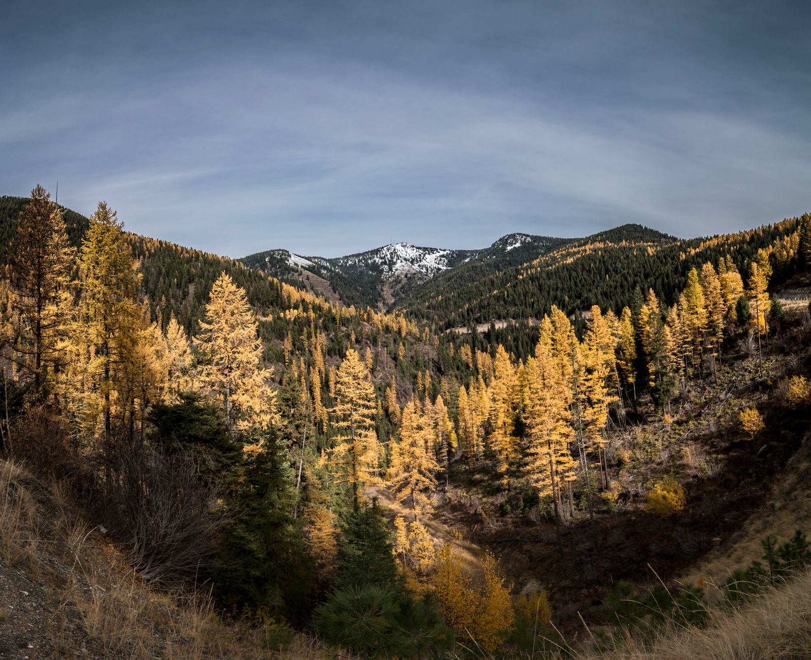
Autumn is superb, with larches turning gold in the higher drainages, cool walking and almost nobody about. Winter keeps the lower canyon trails walkable in many years, and they are a good winter option when everything higher is buried. Smoke is a real factor in August and September, because this is western Montana and the Bitterroot valley traps it much as Missoula does.
Where to stay and stage from
Hamilton is the natural base, the largest town in the valley, central to Blodgett, Mill Creek, Roaring Lion and Lost Horse, with the services to match. Stevensville and Victor put you closer to Bass Creek and Kootenai at the northern end, and Darby is the southern staging point for Trapper Peak and the upper valley. Access throughout is via Highway 93 south from Missoula, with each canyon reached by a short road west from the valley floor.
Missoula works fine as a base if you would rather have a city, at the cost of an hour each way. There is dispersed camping on national forest land up several of the canyon roads, plus developed Forest Service campgrounds at Bass Creek, Blodgett and Lake Como. Lake Como itself, between Hamilton and Darby, has a flat loop trail around it and is the family option in this valley.
Take the easy one first
Start with Blodgett for the classic, meaning miles of flat walking under thousand-foot granite walls to a waterfall, and add the Blodgett Canyon Overlook for the view down it. Then work along the row: Kootenai and Bass Creek are the easy ones, Mill Creek climbs more, and Trapper Peak is the mountain day when you want one.
Go in autumn if you can choose, check the smoke in August, and take the easy option first, because a canyon floor with walls rising a thousand feet on either side is the rare piece of scenery that asks almost nothing of you.
Missoula, an hour north, is covered in hiking Missoula. Montana's marquee park is four hours further: one day in Glacier, and on the August air here: hiking in wildfire smoke.
The nearest city and its own trail system are in hiking Missoula, and the birding version of the same valley is in western Montana birding. The other Montana range with a comparable granite character is covered in the Highline Trail in Glacier and the Grinnell Glacier trail. When the smoke arrives, the planning logic is in how to read a wildfire smoke map and red flag warnings explained.