Fish
Fish Fire
Fire Hike
Hike Bird
Bird

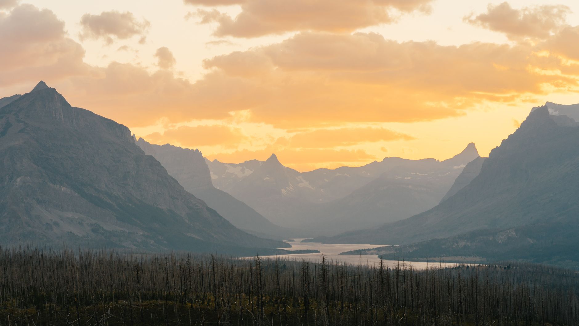

Glacier is a park with a short season and a long road, and one day in it comes down to a single question: do you spend the day driving the road, or hiking off it?
Going-to-the-Sun Road is about 50 miles across the Continental Divide and is one of the great drives in North America. It is also slow, busy, and entirely capable of consuming a full day on its own. The people who leave disappointed are usually the ones who drove all of it and walked none of it.
2026 changed the rules in your favor
This matters more than any hiking advice here, because it removes what has been the biggest planning obstacle for several seasons. There are no vehicle reservations anywhere in Glacier in 2026, since the Park Service eliminated them park-wide across Going-to-the-Sun Road, Many Glacier, Two Medicine and the North Fork. You need a valid park entrance pass and nothing else to drive in.
What replaced it is active parking management, which is a polite way of saying the lots fill and then they are full.
Two specifics matter for 2026. The Going-to-the-Sun Road shuttles to Logan Pass run on a reservation-only system, with a portion of tickets released 60 days ahead beginning May 2 at 8am MDT on a rolling basis and the remainder released at 7pm MDT for next-day travel beginning June 30, through Recreation.gov or by phone, first come first served. And from July 1, private vehicle parking at Logan Pass is limited to three hours, which is a hard constraint on any hike starting there and rules out several longer options unless you use the shuttle.
Confirm current rules with Glacier National Park before traveling, because this park changes its access system frequently. That frequency is the reason to check a live source rather than a guidebook: Guidepole Hike carries current road and trailhead access status alongside the routes, which in a park where the rules have changed in four of the last five seasons is worth more than knowing last year's system.
The season, and when the road is even open
The full 50 miles of Going-to-the-Sun Road typically opens between late June and early July, and the exact date depends entirely on snowpack, because crews plow the Big Drift near Logan Pass through spring and in a heavy year it opens late. The shuttles run roughly July through September, weather permitting. This is the tightest season of any major American national park, and it is why Glacier in early June is a fundamentally different and much smaller experience than Glacier in August.
Mid-June to early July is the staged opening, when the Sun Road advances as plowing reaches Logan Pass, and lower trails are walkable while high trails are not. Mid-July to late August is the full park, with everything open, wildflowers at altitude, and the busiest weeks of the year. September is arguably the best time, being cooler and thinner on crowds, with larches turning at the end of the month and the best light of the year, though facilities start closing early in the month and the weather can turn wintry fast. From October the Sun Road closes over the pass and the park becomes a winter proposition.
Snow can fall at Logan Pass in any month. Carrying a warm layer in July is not excessive here, it is normal.
Five Essential Beginner Hikes in Glacier National ParkPick one hike
The Highline Trail: the signature
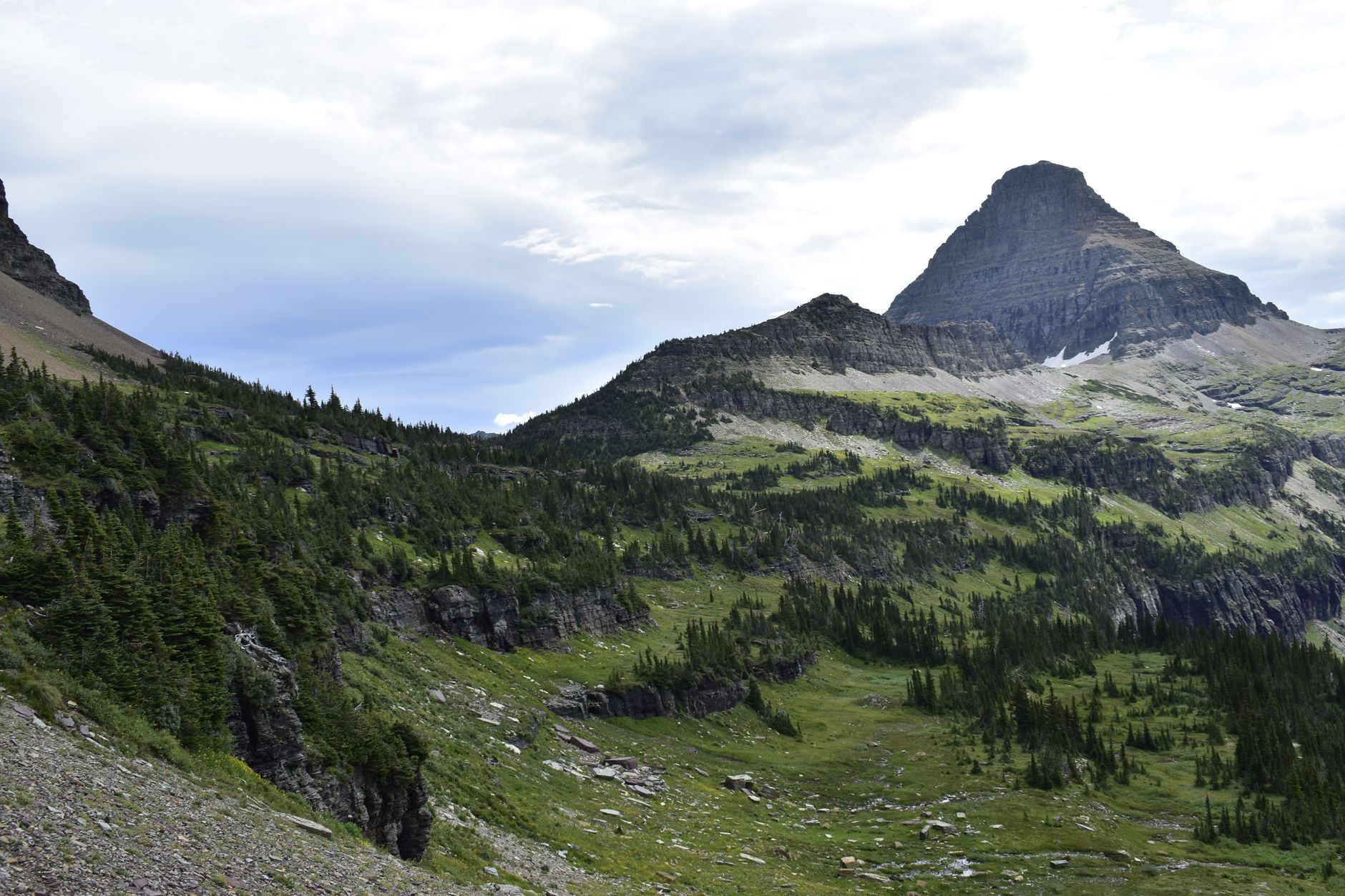
From Logan Pass, the Highline runs north along the Garden Wall, contouring below the Continental Divide with the valley several hundred feet below. The famous section comes early: a narrow ledge with a hand cable bolted into the rock, which looks alarming in photographs and is straightforward in practice.
It is usually done as a point-to-point to The Loop, roughly 11.8 miles and mostly downhill after the initial traverse, using the shuttle to get back, and given the three-hour Logan Pass parking limit from July 1 the shuttle is close to mandatory. You can also walk out and back as far as you like, since the first two or three miles contain most of the drama.
Avalanche Lake: the best short one
About 4.5 to 5.9 miles round trip depending on the start, on the park's west side, through old-growth cedar and hemlock along the Trail of the Cedars, up a gorge, to a lake ringed by cliffs with waterfalls pouring down them. It is lower, opens earlier, works in weather that shuts the high country, and is the answer if you have children, limited time, or a day when Logan Pass is in cloud. It is also extremely popular.
Hidden Lake Overlook: the quick one from Logan Pass
About 2.7 miles round trip on boardwalk and trail from the Logan Pass visitor center to an overlook above Hidden Lake, with mountain goats and bighorn sheep routine along the way. It fits inside the three-hour parking limit, which is exactly why it is busy.
The gear
Glacier is a bear park with a single road through it, and the gear list reflects both.
Bear spray, bought or rented locally, which is the non-negotiable item. It cannot be flown with, it is sold and rented at every gateway town and at park stores, and it needs to be on your hip rather than in your pack. Glacier has both grizzly and black bears at high density, and the trails you want are the ones through huckleberry.
An insulating layer and a rain shell, because Logan Pass sits at sixty-six hundred feet on the Continental Divide and it does what divides do. Snow in July is unremarkable there.
Two liters of water.
An America the Beautiful pass.
A Logan Pass shuttle reservation or a plan that does not need one, since the parking at Logan Pass fills before seven in the morning through the summer and the free shuttle is the practical answer.
Binoculars, which belong on this list more than on most. Mountain goats and bighorn sheep are routine at Logan Pass, grizzlies are frequently visible on distant slopes, and the whole point of watching a bear is doing it from far away.
And an offline map, because there is effectively no coverage on the Going-to-the-Sun Road.
Bear country, properly
Glacier has one of the densest grizzly populations in the lower 48, and this changes how you hike here. Carry bear spray accessible on your body rather than in the pack, and because it cannot be flown with, buy or rent it locally, which every outfitter in West Glacier can do. Make noise as you go, talking and clapping at blind corners and being especially loud in brush and near running water where sound does not carry.
Hike in a group where possible, and check trail closures on the park's alerts page, because Glacier closes trails for bear activity regularly and at short notice. None of this is scaremongering. It is the ordinary practice of everyone who hikes here.
Glacier's Going-to-the-Sun Road: Ten Things to Know Before You GoTiming the day
Be at Logan Pass by 7am if you want to park there, and earlier in August, because the lot fills and then it is a waiting game. Or take the shuttle and stop worrying about it, which given the 2026 reservation system means planning ahead rather than deciding that morning.
West-side starts are more forgiving, and while Avalanche Lake's trailhead fills too, the west side generally has more capacity and lower elevation. Whatever you choose, start early, because afternoon storms build over the Divide in summer and the Highline is an exposed traverse with nowhere to go.
The valleys are not interchangeable
People talk about Glacier as one place. It functions as several, connected by long drives. Going-to-the-Sun Road is the corridor across the middle from West Glacier to St. Mary over Logan Pass, carrying the Highline, Hidden Lake, Avalanche Lake and the drive itself, and this is what most one-day visitors mean by Glacier.
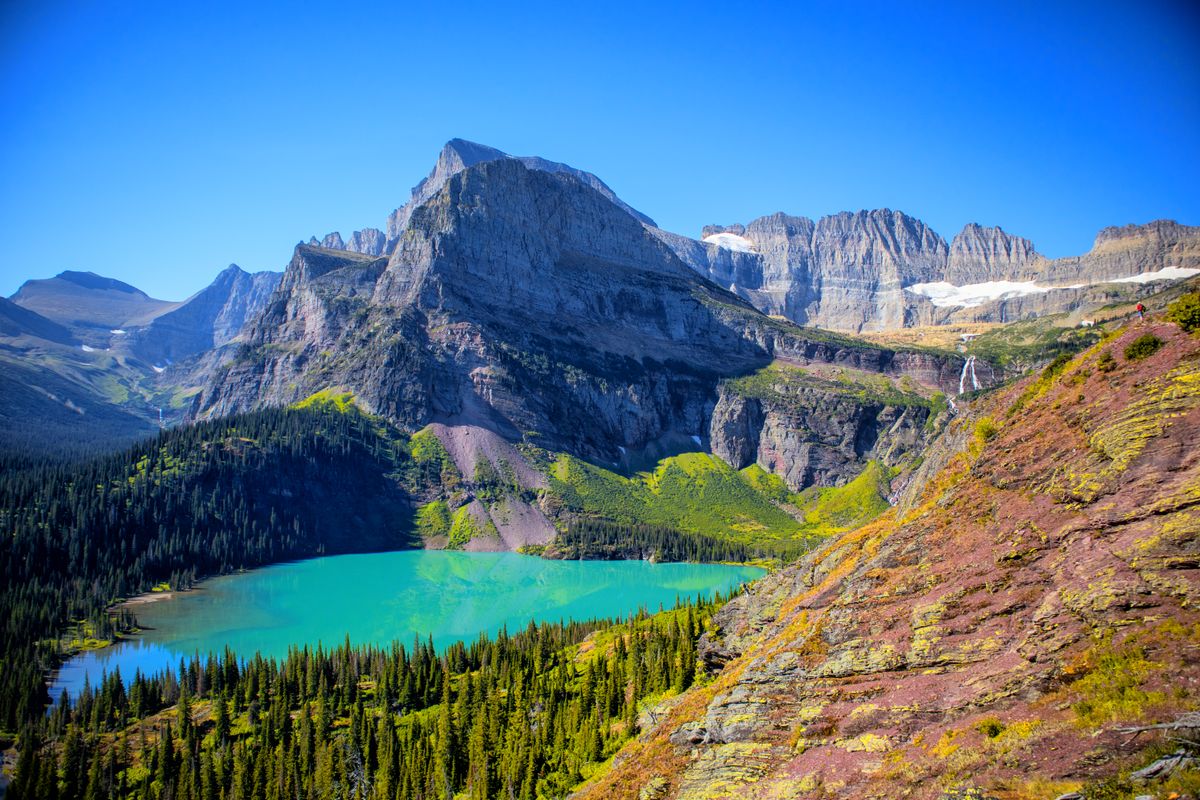
Many Glacier is a separate valley on the east side reached from Babb, holding arguably the best hiking in the park at Grinnell Glacier, Iceberg Lake, Ptarmigan Tunnel and Cracker Lake. It is not a stop on the Sun Road, and getting there from West Glacier is a long drive around the outside of the park. Two Medicine in the southeast is quieter again with its own lake, boat and trails, and the North Fork on the northwest edge is remote and largely unpaved, holding Bowman and Kintla Lakes.
The east and west sides are different worlds beyond the driving, too: the west is wetter and forested, the east drier and more open. With one day you get one of these, and combining the Sun Road with Many Glacier means spending the day in a car. If Grinnell Glacier is the objective, plan Many Glacier as its own day and stay on that side.
What makes this park geologically odd
Glacier looks different from other Rocky Mountain parks and there is a reason. Most of the rock here is ancient sedimentary strata, meaning mudstones, limestones and argillites laid down in a shallow sea over a billion years ago, which is far older than the rock in most of the Rockies. It was then shoved eastward along the Lewis Overthrust, a fault that pushed a vast slab of very old rock up and over much younger rock, in places by fifty miles.
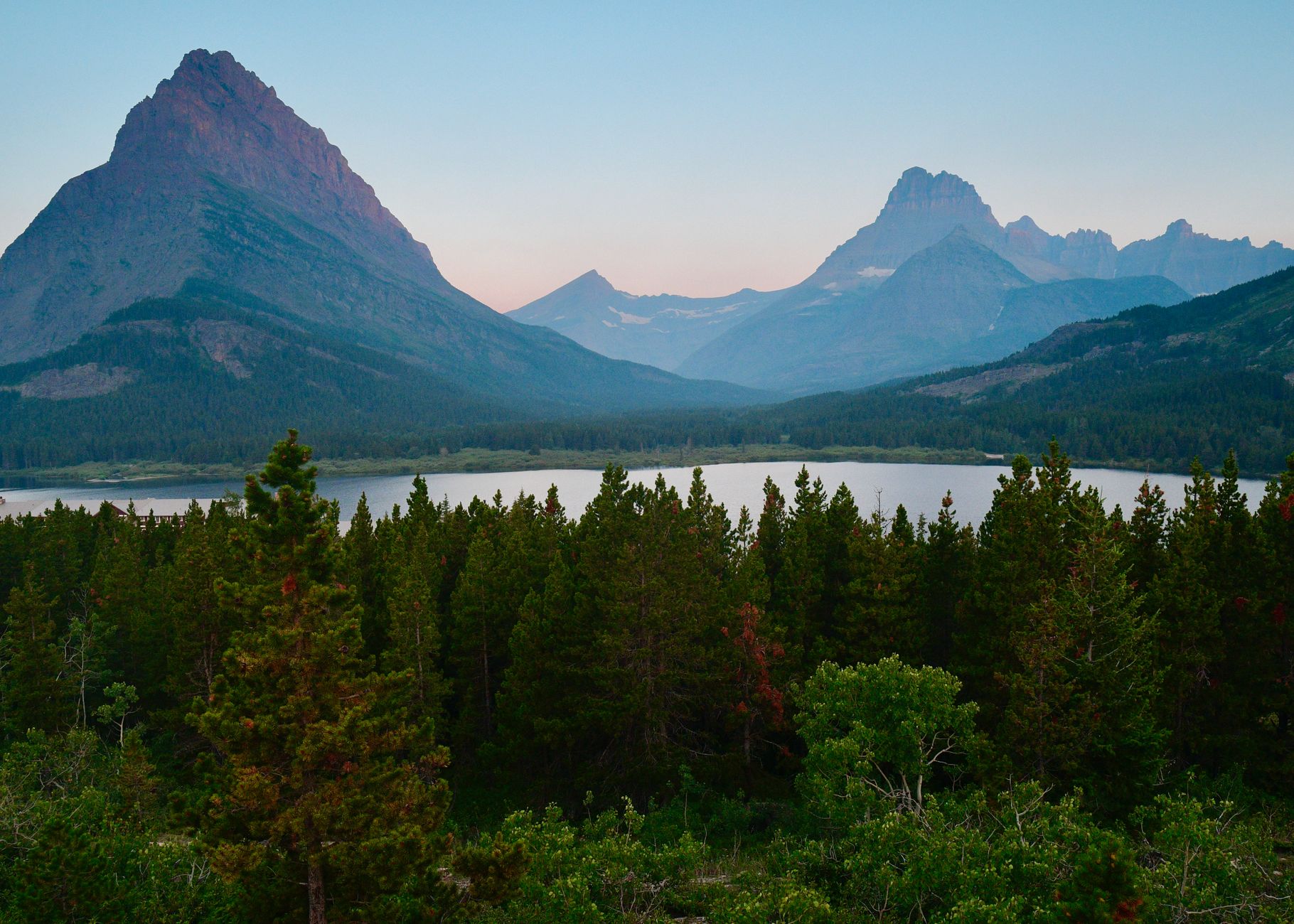
The visible result is the horizontal banding on the peaks, with red, green and gray layers running level across cliff faces, which is what gives Glacier its distinctive striped look. The colors come from iron in the argillite oxidizing differently depending on whether it was exposed to air.
Glaciers then carved into that layered slab, producing the sharp arêtes, cirques and hanging valleys. The Garden Wall that the Highline traverses is an arête, a knife-edge left where two glaciers ate into opposite sides of the same ridge.
Wildlife beyond bears
Glacier's wildlife is unusually visible, and some of it will be at the trailhead. Mountain goats are common at Logan Pass and along the Highline, often within a few yards of the trail, and they are habituated and drawn to salt, which means they will follow people and take an interest in urine and sweaty pack straps. Give them room and do not let them approach. Bighorn sheep frequent the same high country.
Moose are in the wetter valley bottoms and are more dangerous than their placid appearance suggests, particularly cows with calves. And the marmots and ground squirrels at Logan Pass have learned that packs contain food and will chew through fabric to check.
The mountain goat is the park's symbol, and seeing one at close range is a near-certainty on a Logan Pass day, which is worth knowing so you plan to enjoy it rather than stopping traffic for it.
If you have more than a day
A second day changes the trip disproportionately, because it lets you split the park rather than compress it. Two days means one on Going-to-the-Sun Road with a Logan Pass hike and one in Many Glacier doing Grinnell Glacier or Iceberg Lake, staying on the east side between them rather than driving back around.
Three days adds Two Medicine, which is quiet, has its own boat shuttle across the lake, and holds Scenic Point and Dawson Pass, or you use the third day for the North Fork and Bowman Lake if you want remote and unpaved. A week opens up the Highline to Fifty Mountain, the Ptarmigan Tunnel, Cracker Lake and the backcountry permit system, and Glacier's backcountry is superb with permits considerably easier to get than the marquee parks further south.
The general principle for this park is that driving between valleys is the enemy. Pick a side, sleep there, and hike from it. A few practical things hold whichever side you pick: there is an entrance fee even without a reservation, services inside the park are limited so fuel up in West Glacier, St. Mary or Babb, cell signal is poor to absent across most of it, dogs are not permitted on trails at all, and nights are cold at this latitude and elevation even in July.
Drive it or hike it, not both
With one day, drive Going-to-the-Sun Road early and either shuttle to Logan Pass for the Highline or park at Avalanche on the west side for the lake. Do not attempt both ends of the park.
Carry bear spray you can reach. Start before seven. Expect the high country to be in cloud some of the time and have a west-side alternative ready.
And if you only get one thing from this: 2026 has no vehicle reservations, so the barrier this year is parking and weather, not permission.
The park's best-known day hike sits in a different valley entirely: Grinnell Glacier in Many Glacier, which needs its own day. For the state's trail town, hiking Missoula.
The park's two signature walks are in the Highline Trail and the Grinnell Glacier trail, and either one is a better use of a day than driving the road twice. The nearest comparable Montana range, without the crowds, is in Bitterroot canyon hiking, and the nearest towns are covered in hiking Missoula and hiking Bozeman.