Fish
Fish Fire
Fire Hike
Hike Bird
Bird


One day in the Smokies means choosing. Three days means you can stop choosing and start seeing the park as the thing it is: 800 square miles spanning 5,800 feet of elevation, with more tree species than all of northern Europe, and a road system that touches only a fraction of it.
The structure that works is straightforward. One hard day, one high day, one water day, arranged so the hardest comes first while your legs are fresh and the crowds have not yet found you.
Day one: Mount LeConte
Do the big one first. Alum Cave to Mount LeConte is about 11 miles round trip with roughly 2,800 feet of gain, six to eight hours, and it is the finest trail in the park. It climbs through Arch Rock, a natural tunnel with steel cable handrails, past Alum Cave Bluffs, an 80-foot rock overhang once mined for saltpeter, and then onto narrow cabled ledges with real drop-offs before entering spruce-fir forest near the top.
At 6,593 feet, Mount LeConte is the highest peak lying entirely within Tennessee, since Kuwohi and Mount Guyot are higher but sit on the state line. At the summit is LeConte Lodge, running since 1925, resupplied by llama train, and the highest inn offering lodging in the eastern United States. Buy the hot chocolate, then walk out to Cliff Tops for the view, because the true summit is wooded and has none.
Start at dawn, because the trailhead lots on Newfound Gap Road are small and fill before first light in season. If eleven miles is too much, turn around at Alum Cave Bluffs for a 4.4-mile day that is still one of the best short hikes in the southeast, and move day two forward.
Day two: the high crest
Spend the second day above 5,000 feet, where the park is a different ecosystem entirely. Drive Newfound Gap Road to the gap at 5,046 feet, and from there Charlies Bunion is just over eight miles round trip east on the Appalachian Trail with about 1,640 feet of gain, ending at a bare rock outcrop at 5,565 feet with the jagged Sawteeth crest running away east. There are no railings. It is the most exposed view in the park and the best one on any day hike here.
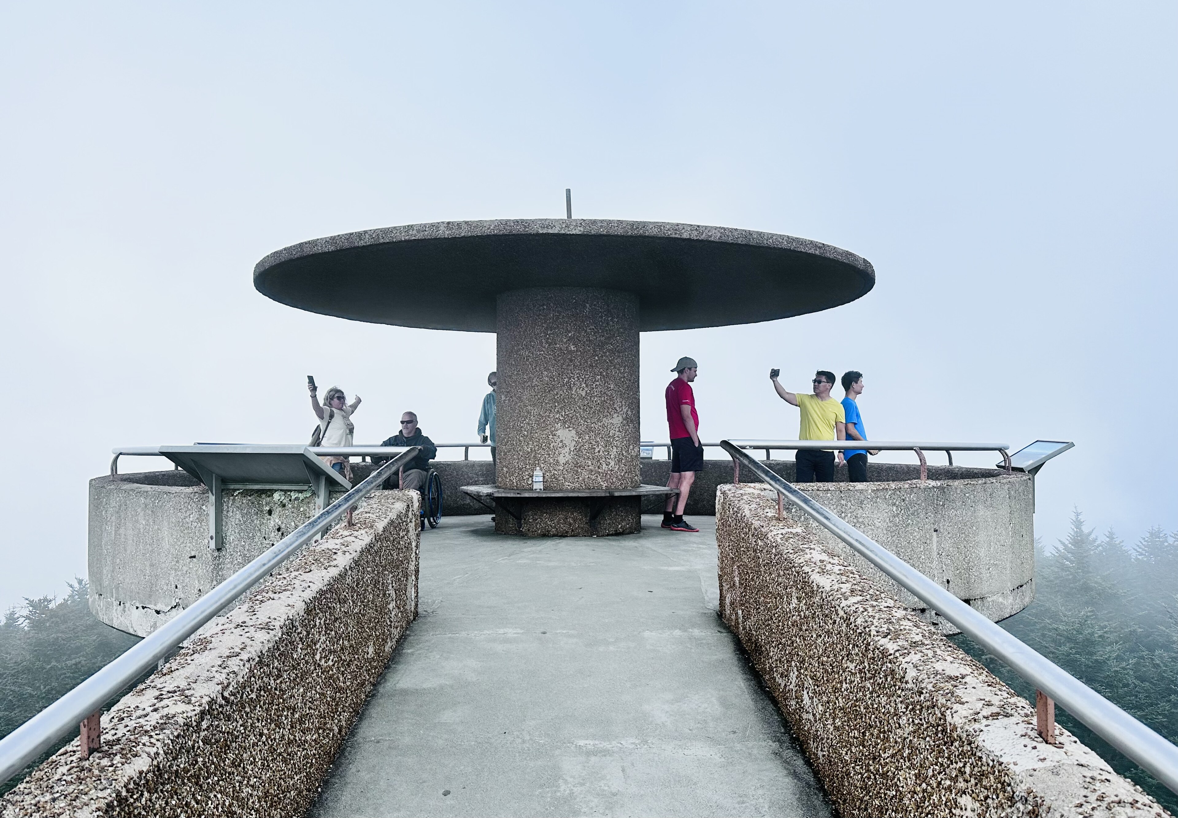
If that is too much after LeConte, the alternative is excellent. Drive up Kuwohi Road, open April 1 to November 30, and walk the paved half-mile to the highest point in Tennessee at 6,643 feet, which is also the highest point on the entire Appalachian Trail. Then take the Forney Ridge Trail down to Andrews Bald, 3.6 miles round trip to a grassy bald with a wide southern view, spectacular in June when the flame azalea is out.
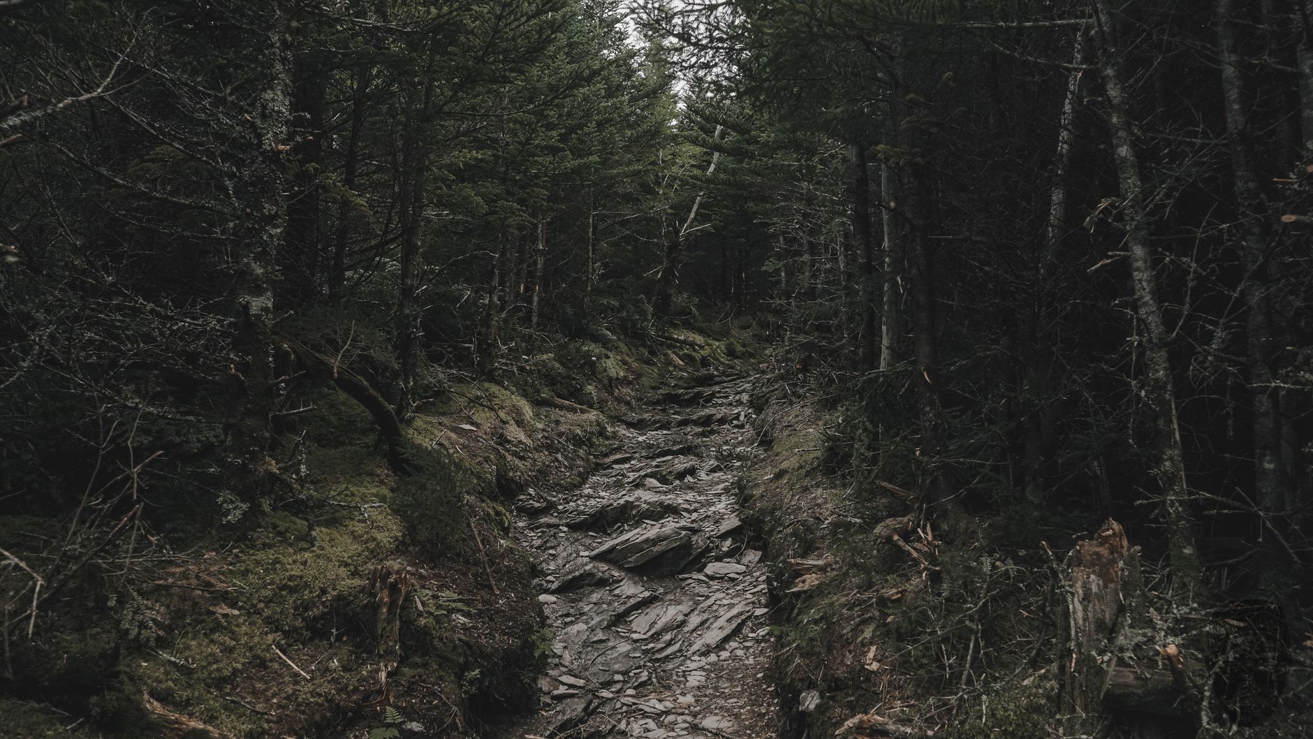
Either way you spend the day in spruce-fir forest, an ice-age relic stranded on these summits, and you will be walking through the most legible piece of ecological damage in the park.
Day three: water, and the other state
The third day is for recovery and for the thing the Smokies do better than almost anywhere: moving water. The park contains roughly 2,900 miles of streams, and the options run in rough order of effort.
Laurel Falls is 2.6 miles round trip and paved, to an 80-foot fall, and it is the easiest and most crowded. Grotto Falls is about 2.6 miles round trip on the Trillium Gap Trail and the only waterfall in the park you can walk behind, and because it is also the llama route to LeConte Lodge you may meet the pack train on a supply day. Rainbow Falls is 5.4 miles round trip to an 80-foot fall that catches a rainbow in afternoon light and freezes into a spectacular column in winter, and it is harder than the mileage suggests.
Ramsey Cascades is 8 miles round trip with 2,200 feet of gain to the tallest waterfall in the park at about 100 feet, through old-growth forest with enormous tulip poplars, and it is a full day and the best of them. Abrams Falls is 5 miles round trip off the Cades Cove loop, short in height but with tremendous volume, and it means dealing with Cades Cove traffic to reach the trailhead.
Alternatively, spend day three in North Carolina. Cross Newfound Gap and drop to Cherokee, and the character changes to quieter and less commercial, with Deep Creek near Bryson City offering three waterfalls on an easy loop.
The two-state problem
Here is a thing three days makes obvious that one day does not: the Tennessee side and the North Carolina side are effectively different parks.
The Tennessee side, meaning Gatlinburg, Pigeon Forge and Townsend, has the marquee trails, the heaviest traffic, and a wall of commercial development right at the boundary, and it is where LeConte, Alum Cave, Laurel Falls, Rainbow Falls and Cades Cove are. The North Carolina side, meaning Cherokee and Bryson City, is quieter, less developed and less visited, with Deep Creek, Cataloochee's elk herd and the Oconaluftee valley.
Crossing between them means Newfound Gap Road, which takes far longer than 33 miles suggests. If you are staying three days, decide which side you are based on and treat crossing as a deliberate day rather than a casual hop.
Best Hikes in Great Smoky Mountains National ParkSequencing around the crowds
The park takes roughly 12 million visits a year and its congestion is entirely predictable, which means it is entirely avoidable. The worst windows are July 1 to August 15 and all of October, especially October weekends, and Cades Cove is the single worst bottleneck, an eleven-mile one-way loop that takes 30 minutes empty and two to four hours full.
The rule that solves most of it is to be at your trailhead by 8:00 am, which will give you a different day from everyone who arrives at ten, and it matters more than which hike you pick. The second rule is to save your driving for the afternoon, because trails empty out after two while roads fill up. And if you want Cades Cove specifically, do it as a vehicle-free Wednesday on a bike from roughly early May to September, which removes the problem entirely.
Where to base yourself
Gatlinburg puts you closest to Alum Cave, Newfound Gap and the waterfall trails, twenty minutes to the best trailheads, and it is also congested and heavily commercial. Townsend is the quiet Tennessee side and the closest base to Cades Cove, which matters if you plan a 7:00 am loop entry. Cherokee or Bryson City on the North Carolina side is the least busy option and adds driving time to the marquee Tennessee trails.
For a three-day hiking trip weighted toward LeConte and the crest, Gatlinburg or Townsend wins on logistics.
What three days lets you notice
A one-day visit shows you scenery. Three days starts showing you a system, and a few things become visible that are easy to miss.
The forest changes with height, dramatically. Climbing from a trailhead at 1,500 feet to a summit at 6,500 takes you through cove hardwood, then hemlock and rhododendron, then northern hardwood, then boreal spruce-fir, so over three days of hikes at different elevations you effectively travel the length of the eastern seaboard's forest types. The Smokies hold more tree species than all of northern Europe, and this is why.
The old growth is real and it is rare, because something like a fifth of the park was never logged, which makes it one of the largest tracts of old-growth forest remaining in the eastern United States. Ramsey Cascades and parts of the Alum Cave approach take you through it, and the difference in tree size is obvious once you know to look.
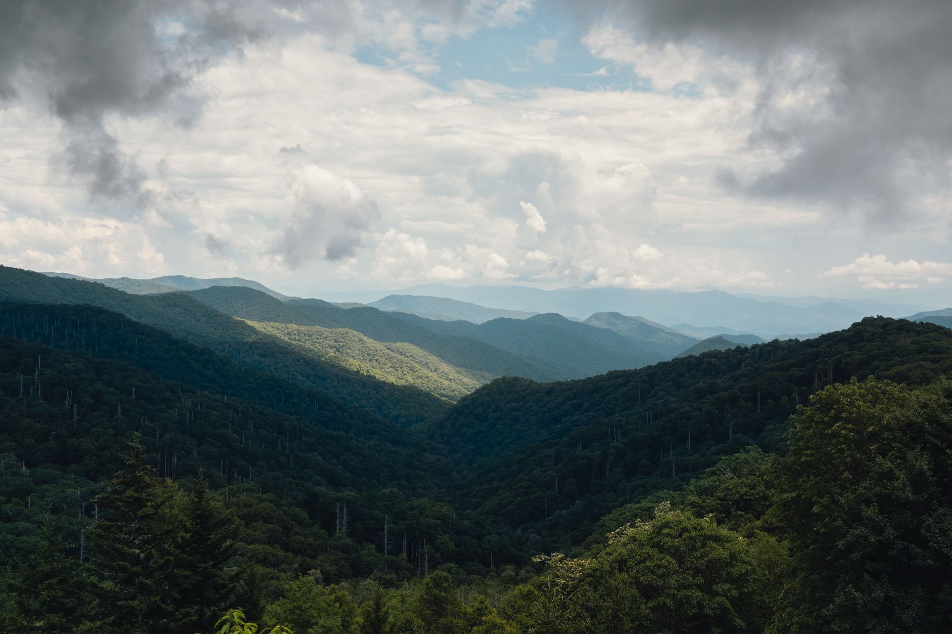
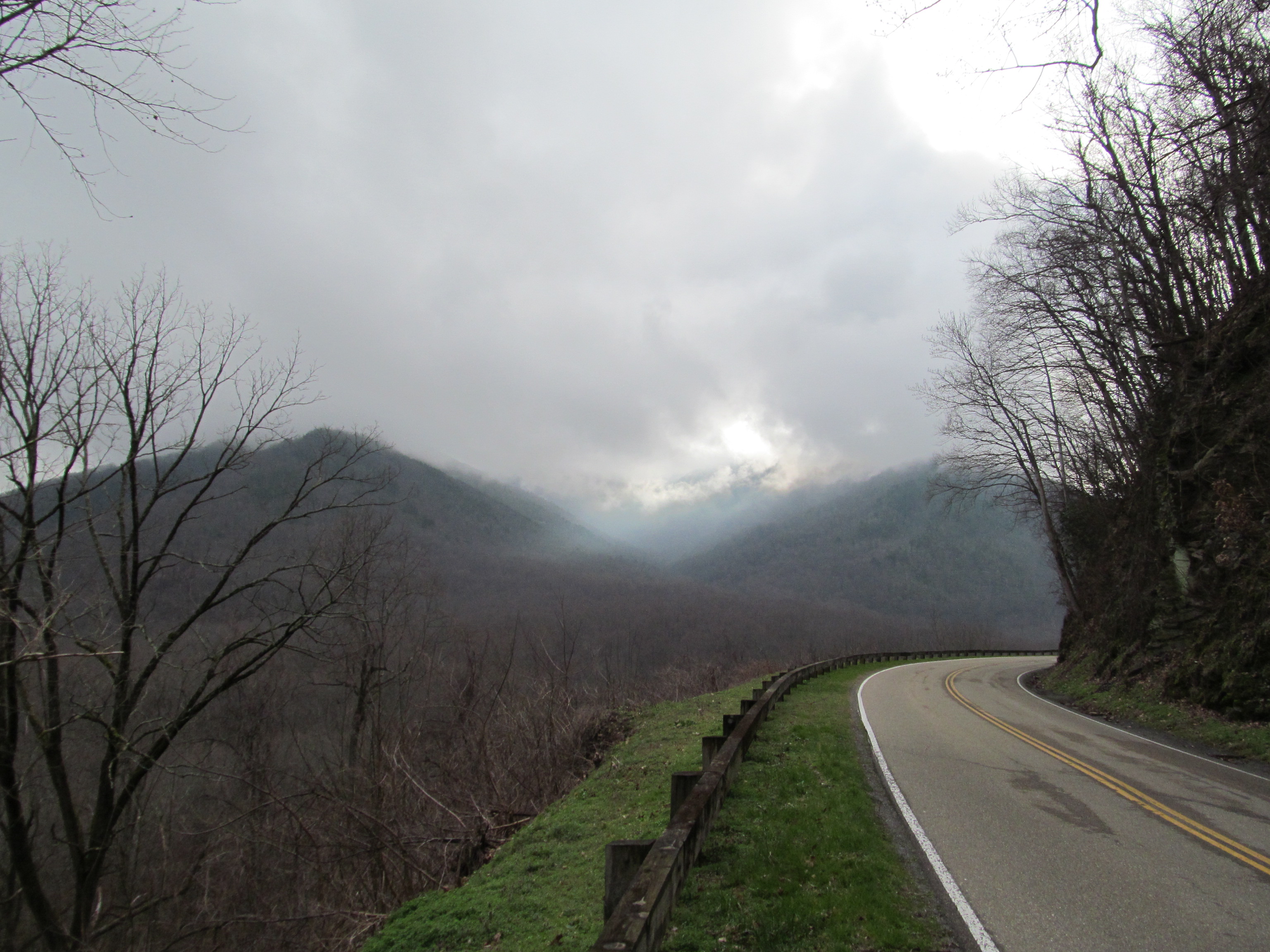
The high forest, meanwhile, is dying. The gray standing skeletons across the spruce-fir zone are Fraser firs killed by the balsam woolly adelgid, an introduced insect the trees have no defense against, and on day two you walk through the middle of it. And the haze that gives the range its name is the forest breathing: the blue comes from compounds the trees themselves emit, scattering light, and it is heaviest on warm still mornings.
None of this changes where you walk. It changes what the walking is about.
What to Do with One Day in the Great Smoky MountainsIf you get a bad-weather day
Over three days you will probably get one, and this park handles rain better than most. Waterfalls are better in rain, straightforwardly, with higher volume, better sound, fewer people, and the forest at its most atmospheric with cloud moving through it. Lower-elevation trails stay walkable when the crest is socked in or icy, because the valleys sit 4,000 feet below the ridges and are often in completely different weather. Cades Cove is a legitimate rain day, being a driving loop, and the traffic that ruins it in sunshine largely evaporates when the weather is poor.
Indoors, the Museum of the Cherokee People in Cherokee, North Carolina is worth two hours and gives real context to the Kuwohi name restoration, which makes day two better if you go before rather than after.
What not to do in bad weather is the crest. Charlies Bunion in rain is a wet walk to a view of cloud, and in lightning it is dangerous.
The gear
Three days here means the crest as well as the coves, and that is a five-thousand-eight-hundred-foot range in a place that makes its own weather.
A Park It Forward weekly parking tag, at fifteen dollars, which is the correct purchase for a three-day trip and covers every trailhead in the park.
Layers for the full elevation range. The spruce-fir forest on the crest is a relict boreal ecosystem, biologically closer to Canada than to Tennessee, and it behaves that way: cold, wet and windy when the valleys are pleasant.
Trekking poles, for the LeConte descent and for the Appalachian Trail's rocky sections, both of which punish knees.
Kahtoola MICROspikes from November through March, which is not overcautious. The crest holds rime ice regularly, Newfound Gap and Clingmans Dome Road are at over five thousand feet, and the trails up there are icy while the parking lot in Gatlinburg is bare.
Two liters of hydration capacity plus a filter, since the crest has few reliable sources and the valleys have many.
A rain shell, always.
And an offline park map, because the trail network here is dense, several junctions look alike, and there is no signal anywhere useful.
Practical notes for three days
Buy a weekly parking tag, because the Park It Forward tag is required for any stop over 15 minutes and at $15 the week beats three daily tags at $5. There is no entrance fee, which confuses people into thinking the parking tag is optional. It is not, and it is enforced.
Check road status each morning as well, since Kuwohi Road, Roaring Fork and the secondary routes close seasonally and for weather, and Newfound Gap Road itself closes in serious storms. Those two together, a mandatory tag in a park with no entrance fee and a set of roads that decide whether day two exists, are the local version of a question Guidepole Hike answers generally: what this specific trailhead requires and whether you can currently reach it.
The rest is preparation. Dogs are banned on nearly every trail, so three days with a dog here is three days of frustration. Pack for 5,800 feet of range, because Gatlinburg at 1,300 feet in July is hot and humid while Kuwohi at 6,643 is 10 to 20 degrees cooler and often in cloud. Download maps, since signal is poor to absent across most of the park. Book LeConte Lodge a year out or forget it, because fifty beds a night against the demand of the most visited park in the country means the reservation window opens far in advance and closes fast. And bears are common with food storage enforced, so use the lockers where they exist, keep food with you on trail, and treat a roadside bear as a reason to keep driving rather than to stop.
When it stops being a place you drove through
Hard day first: Alum Cave to LeConte, starting at dawn. High day second: Charlies Bunion, or Kuwohi and Andrews Bald. Water day third: Ramsey Cascades if you have legs left, Grotto Falls if you do not.
Be at trailheads by eight, drive in the afternoon, and decide deliberately whether to cross to North Carolina rather than doing it by accident.
Three days is when this park stops being a place you drove through and starts being a place you walked in.
Each of the three days has its own guide: Alum Cave to Mount LeConte, Charlies Bunion, and Kuwohi. With only one day, start here instead. And those 2,900 miles of streams hold wild brook trout: fly fishing the Great Smokies.
The compressed version is in one day in the Great Smoky Mountains. The three walks worth building days around are in Alum Cave to Mount LeConte, Charlies Bunion and Kuwohi. The comparable high-elevation grassland two hours northeast is in the Roan Highlands, and the plateau country west is in Savage Gulf.