Fish
Fish Fire
Fire Hike
Hike Bird
Bird


Great Smoky Mountains National Park takes roughly 12 million visits a year, which makes it comfortably the most visited national park in the United States, more than double the Grand Canyon. It charges no entrance fee, it straddles two states, and it sits within a day's drive of a third of the American population.
With one day in it, the single most consequential decision you make is whether you spend that day driving or walking.
The Cades Cove problem
Cades Cove is the most visited spot in the park, an eleven-mile one-way loop road through a broad valley of preserved homesteads, churches and open meadow, with black bears and white-tailed deer regularly visible from the car. It is lovely. It is also a trap for anyone on a schedule.
The loop takes about thirty minutes to drive with no stops. In practice, on a summer weekend or any October day, it routinely takes two to four hours, because it is one-way, single-lane in effect, and every vehicle stops when someone sees a bear. There is no way out once you are on it, so a bear jam at mile three means you are sitting there.
If you want to do Cades Cove properly the timing is specific and non-negotiable: be entering the loop by 7:00 am, and by 6:30 am on an October Saturday. Later than that and you are committing an unknown but large fraction of a single day to a line.
There is one excellent alternative. From roughly early May through September the Park Service closes the loop to cars on Wednesdays, opening it to pedestrians and cyclists only, and a vehicle-free Cades Cove morning on a bike is one of the best experiences available in this park because it removes the entire problem.
What to do instead
With one day, pick a hike and a scenic drive, in that order, and treat everything else as a bonus.
Laurel Falls: 2.6 miles round trip
The paved trail to an 80-foot waterfall, and the easiest real hike in the park. It is extremely popular, the parking is inadequate, and it is nonetheless a good option with small children or limited time. Go early or go late in the day.
Chimney Tops: about 3.5 miles round trip
Steep, relentless, and only 1,400 feet of gain, though it feels like more. The upper section was damaged in the 2016 fires and the very summit pinnacle is closed, but the trail still delivers a genuine view from the observation area, and it is short enough to leave the afternoon open.
Alum Cave Bluffs: 4.4 miles round trip
The best value on this list. It climbs through Arch Rock, a natural tunnel with cable handrails, to an 80-foot rock overhang, and it is the lower half of the park's finest trail. You can turn around at the bluffs without any sense of having cut something short.
Andrews Bald: 3.6 miles round trip
From the Kuwohi parking area, down and back up to a grassy bald with a wide southern view. Spectacular in June when the flame azalea is in bloom, and it starts at over 6,300 feet so it is cool when the lowlands are not.
Rainbow Falls: 5.4 miles round trip
A steady climb to an 80-foot fall that catches a rainbow in afternoon light and freezes into a column in winter. Harder than the mileage suggests, on rocky tread.
The one drive worth making
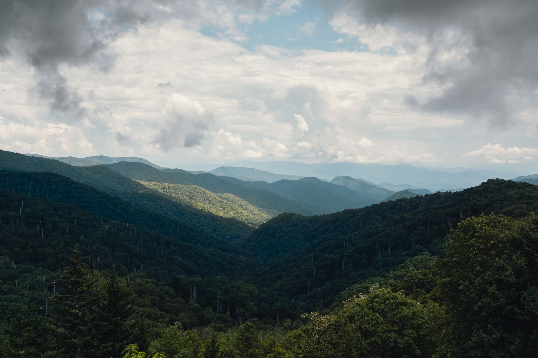
If you do one scenic drive, make it Newfound Gap Road. It is the only road that crosses the entire park, running 33 miles from Gatlinburg to Cherokee and climbing from about 1,400 feet at the Sugarlands entrance to 5,046 feet at Newfound Gap on the state line. It is spectacular, it has frequent pull-offs, and it is generally free of Cades Cove's traffic pathology because it is two-way and people can pass.
The drive itself is the attraction. Climbing 3,600 feet takes you through roughly the same sequence of forest types you would pass traveling from Georgia to Maine, running from cove hardwood at the bottom to spruce-fir at the top, and almost nobody realizes this is what they are looking at.
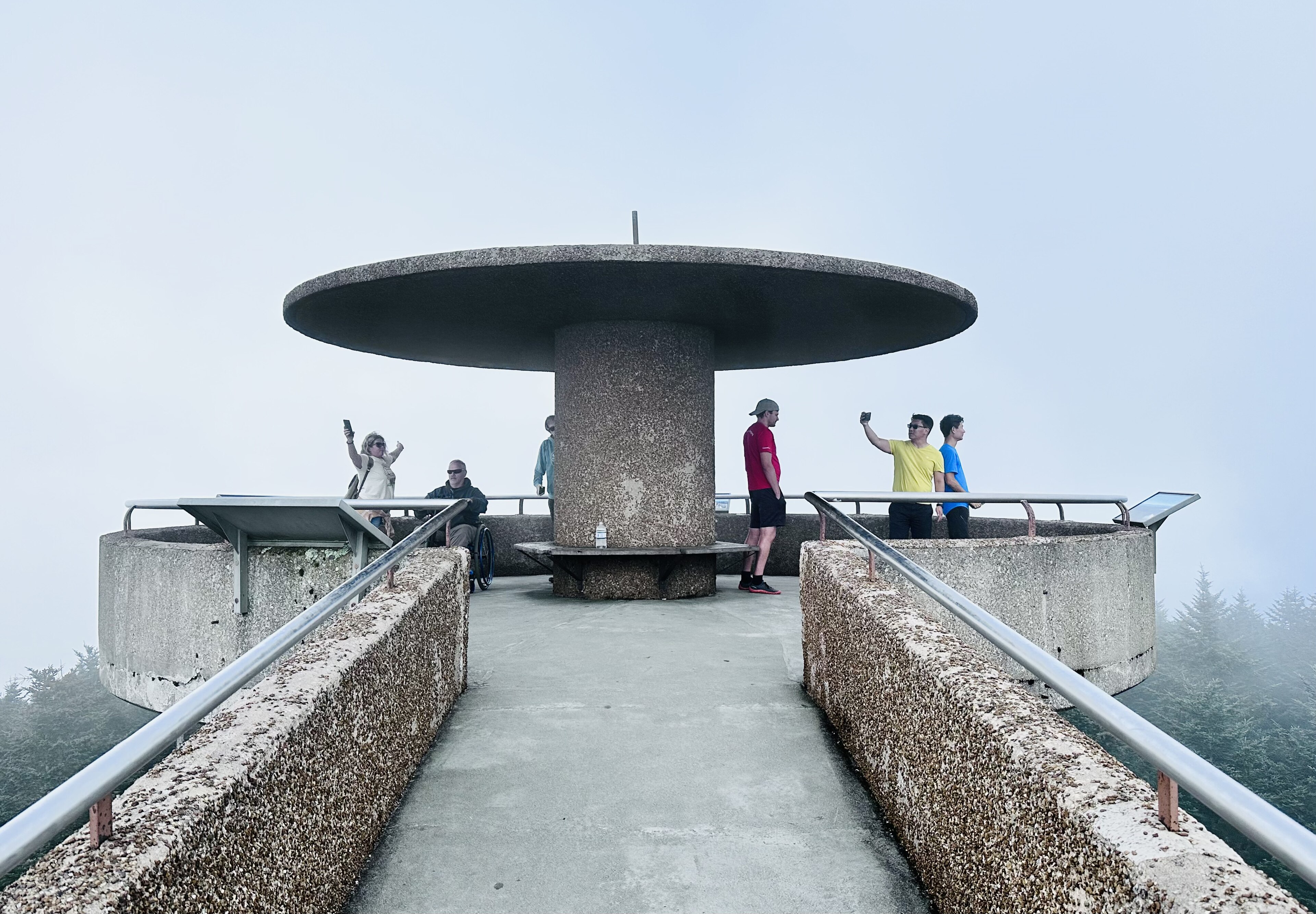
At Newfound Gap the Appalachian Trail crosses the road, and walking even ten minutes of it in either direction is worth doing and free of everything. From the gap, Kuwohi Road climbs seven more miles to the highest point in Tennessee, and that road is open April 1 to November 30 only.
The Cades Cove Loop: Seven Tips Including How Long It TakesThe parking tag nobody knows about
The Smokies charge no entrance fee, which is a condition of the land transfer that created the park, but since March 2023 they have required a Park It Forward parking tag for any vehicle parked more than 15 minutes. It is $5 for a day, $15 for a week and $40 for the year, per vehicle regardless of how many people are inside, it applies everywhere in the park including trailheads, and it is enforced.
Those two facts sit oddly together and people miss the second one constantly. Buy it before you arrive or at a visitor center, because turning up at a trailhead without one is the most common avoidable annoyance in the park.
The gear
The Smokies have no entrance fee and one piece of paperwork that catches almost everybody, so the gear list starts there.
A Park It Forward parking tag, which has been required since 2023 for any vehicle parked more than fifteen minutes anywhere in the park. It is five dollars for a day, is bought online or at a visitor center, and is checked. The park is free to enter and not free to park in, which is the single most common visitor mistake here.
Layers for a five-thousand-foot elevation range, since the difference between Gatlinburg and Kuwohi is routinely twenty degrees and can be more.
A rain shell, because this is temperate rainforest. The high country receives over eighty inches a year and afternoon storms in summer are the norm rather than the exception.
Shoes with grip, for roots and wet rock, which is most of the trail surface here.
Offline maps, since coverage inside the park is poor to nonexistent.
Two liters of water.
And a bicycle, if your day is a Wednesday between May and September, when the Cades Cove loop closes to vehicles entirely. An eleven-mile car-free loop through the best wildlife viewing in the park is a different experience from sitting in the traffic, and it is the single best thing to know about this park.
Timing the day
Peak congestion is July 1 to August 15 and the whole of October, especially October weekends, and in those windows the difference between arriving at 7:30 am and 10:00 am is the difference between two entirely different days.
Early morning is when the fog sits in the valleys, the light on the ridges is at its best, and the wildlife is moving. Midday is the worst of everything, being hottest, busiest and flattest in light. Late afternoon recovers, and the ridgelines at sunset from an overlook on Newfound Gap Road are the classic Smokies image. The park's name comes from the blue haze that hangs over these ridges, produced naturally by the forest itself, and it is most visible early and late.
The reason the early start matters more here than the weather or the light is capacity. Popular trailheads have tiny lots, with Laurel Falls and Alum Cave both carrying parking wildly out of proportion to demand, and roadside parking is restricted and ticketed. Guidepole Hike carries trailhead parking capacity and current access status alongside the routes, which in a park of 12 million visits and lots that fill by eight is the difference between a hike and a lap of the pull-offs.
A workable one-day plan
Be at your trailhead by 8:00 am and do Alum Cave Bluffs, or Chimney Tops if you want it shorter, or Andrews Bald if you want altitude and flowers. Be finished by midday.
Then drive Newfound Gap Road up to the gap, stopping at the overlooks, and walk a few minutes of the Appalachian Trail. If the season allows, continue up Kuwohi Road and walk the paved half-mile to the highest point in Tennessee.
Come down in late afternoon light, and if you still have appetite, drive the Roaring Fork Motor Nature Trail near Gatlinburg, a narrow one-way five-and-a-half-mile loop past old cabins and streams that is far shorter and far less prone to gridlock than Cades Cove. That is a full, excellent day, and it involves almost no waiting in line.
Which side to base yourself on
The park has two front doors and they produce different days. Gatlinburg and Pigeon Forge, Tennessee, are the busy side, immediately adjacent to the Sugarlands entrance, packed with accommodation and equally packed with traffic, and Gatlinburg's main strip in October moves at walking pace. The advantage is proximity, because you can be at the Alum Cave trailhead twenty minutes after leaving your room.
Townsend, Tennessee, markets itself as the quiet side and largely is, and it is the closest base to Cades Cove, which matters enormously if you intend to make the 7:00 am entry. Cherokee, North Carolina, is the southern entrance and the least congested of the three, and it is also home to the Museum of the Cherokee People, which is worth an hour if the weather closes in and gives real context to the Kuwohi name restoration.
For a single day the Tennessee side puts you nearer the best short hikes, and for a quiet start Townsend wins.
What the elevation gets you
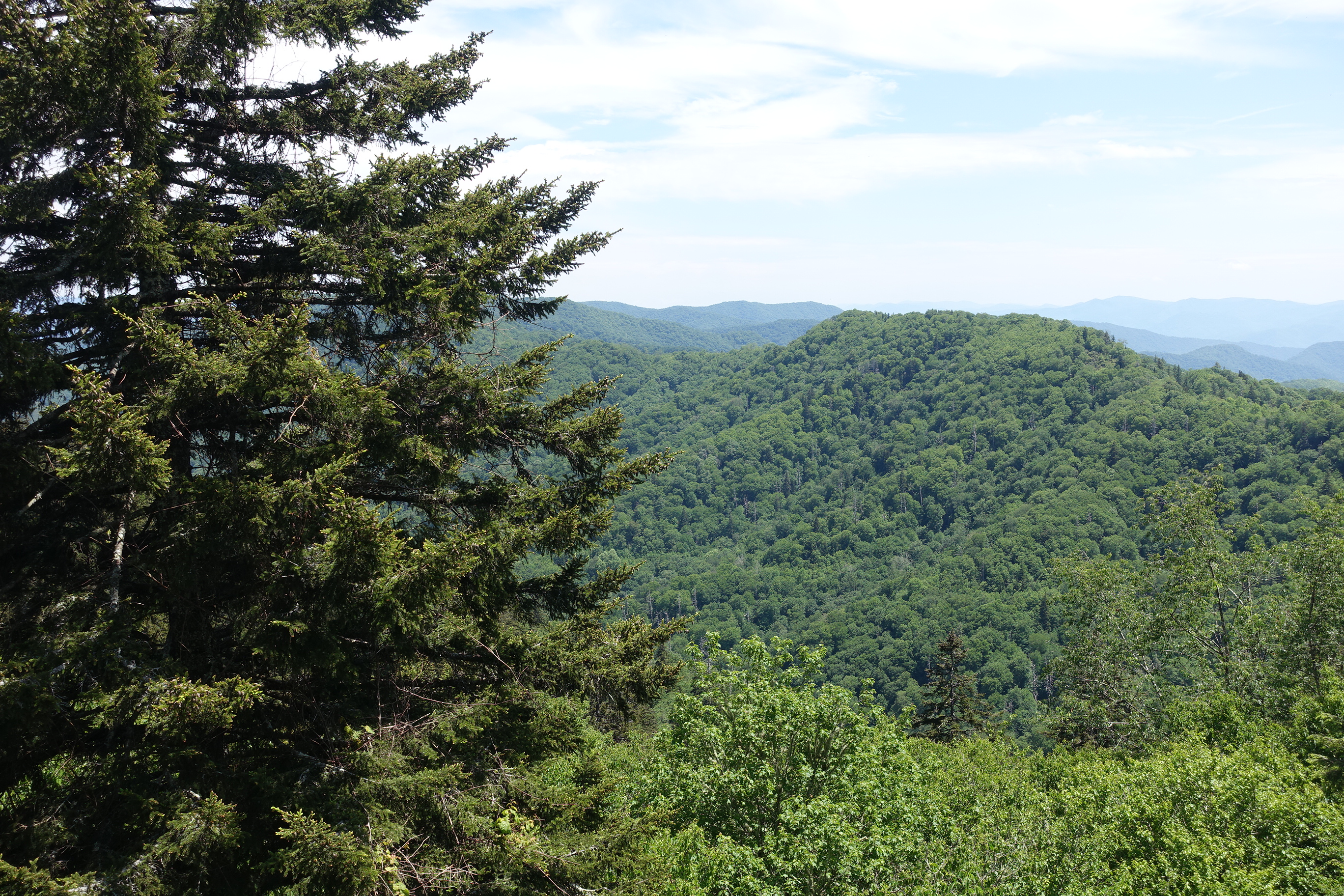
One fact reframes the whole park: it spans roughly 5,800 feet of elevation, from around 875 feet at its lowest to 6,643 at Kuwohi. That range supports an extraordinary density of life, and the Smokies hold more tree species than all of northern Europe, with the park designated an International Biosphere Reserve and UNESCO World Heritage Site partly for that reason. The All Taxa Biodiversity Inventory running here has cataloged many thousands of species, hundreds of them new to science.
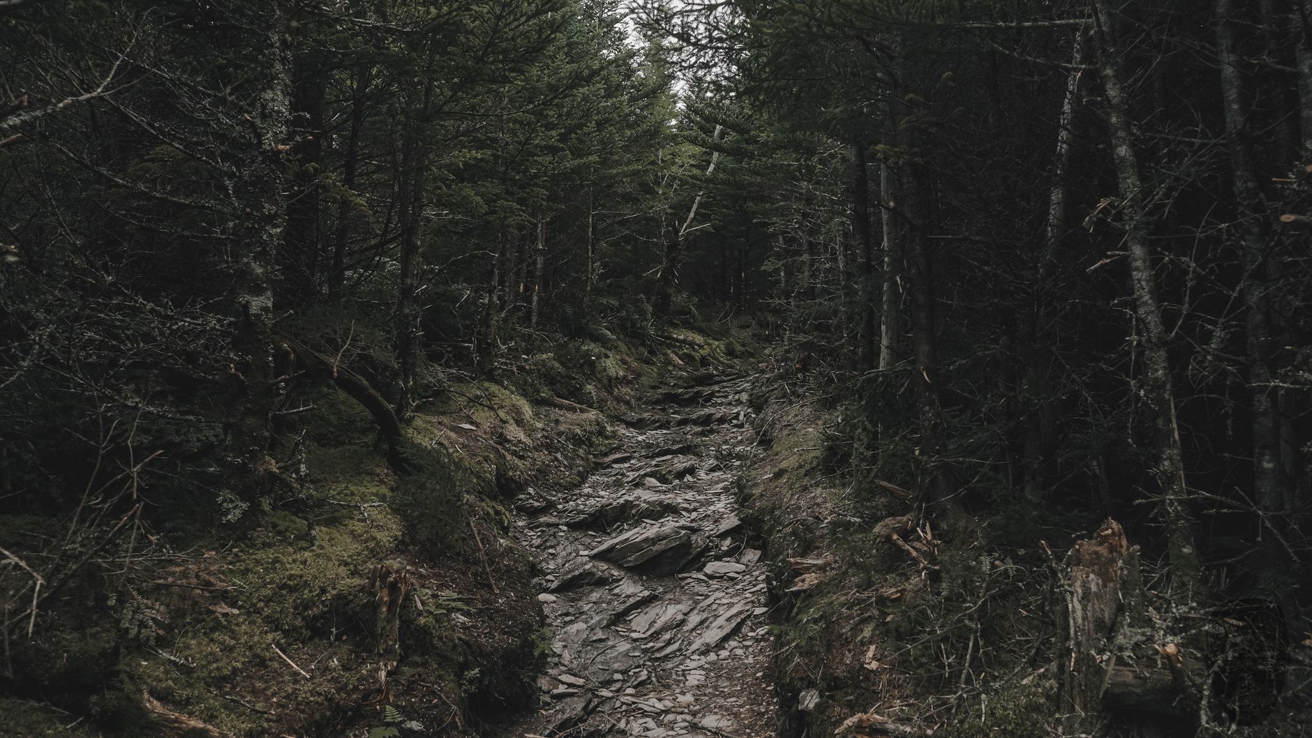
For a hiker this is not trivia. It is why a single day's walking can take you from cove hardwood forest with wildflowers through hemlock and rhododendron tunnels into boreal spruce-fir, and why the trail underfoot, the temperature and the birdsong all change as you climb. Choosing a hike with real elevation gain is choosing to see more than one forest.
It is also why spring here is drawn out, since wildflowers bloom at low elevation weeks before they appear at the top, which makes late April in the coves and early June on the ridges both peak wildflower season.
Great Smoky Mountains National Park: Five Things to Know Before You GoThings that catch people out
Dogs are banned on nearly every trail, which surprises visitors from national forest country, and the exceptions are limited paved paths. Bears are common and wild, so store food, do not approach, do not feed, and treat a bear beside the road as a reason to keep driving rather than to stop and create a jam.
Elevations differ enormously, with Gatlinburg at about 1,300 feet and Kuwohi at 6,643, so weather at the top bears no relationship to weather in town and the temperature difference runs 10 to 20 degrees. Cell signal is poor to absent across most of the park including on Newfound Gap Road, so download maps.
And some roads close seasonally without much warning, since Kuwohi Road, Roaring Fork and several secondary routes shut for winter or for weather and Newfound Gap Road itself closes in serious storms. Check the park's road status the morning you go rather than the week before.
You came here to walk
Skip Cades Cove unless you can be on the loop by seven, or unless it is a vehicle-free Wednesday and you have a bike. Pick one real hike and do it early. Drive Newfound Gap Road up to 5,046 feet and walk a little of the Appalachian Trail. Add Kuwohi if the road is open.
America's busiest national park is entirely manageable in a day. It just requires deciding, before you arrive, that you came here to walk.
The best hard day in this park continues from Alum Cave Bluffs all the way up: Alum Cave to Mount LeConte. The highest ground is Kuwohi. And the streams you cross all day hold the only trout native to these mountains: fly fishing the Great Smokies.
The version with time to reach the crest is in three days in the Great Smoky Mountains. The park's two signature walks are in Alum Cave to Mount LeConte and Charlies Bunion, and its highest and easiest summit is in Kuwohi. The nearest city, and the plateau country west of it, is in hiking Chattanooga.
One last thing about why this park is as busy as it is, since it explains most of what a visitor experiences. The Smokies receive roughly twice the visitation of any other national park, largely because they sit within a day's drive of a third of the American population and charge no entrance fee. Both of those are conditions of the land transfer that created the park in the 1930s, when Tennessee and North Carolina handed over Newfound Gap Road on the understanding that no toll would ever be charged on it. The parking tag exists because that promise ruled out the ordinary funding mechanism.