Fish
Fish Fire
Fire Hike
Hike Bird
Bird

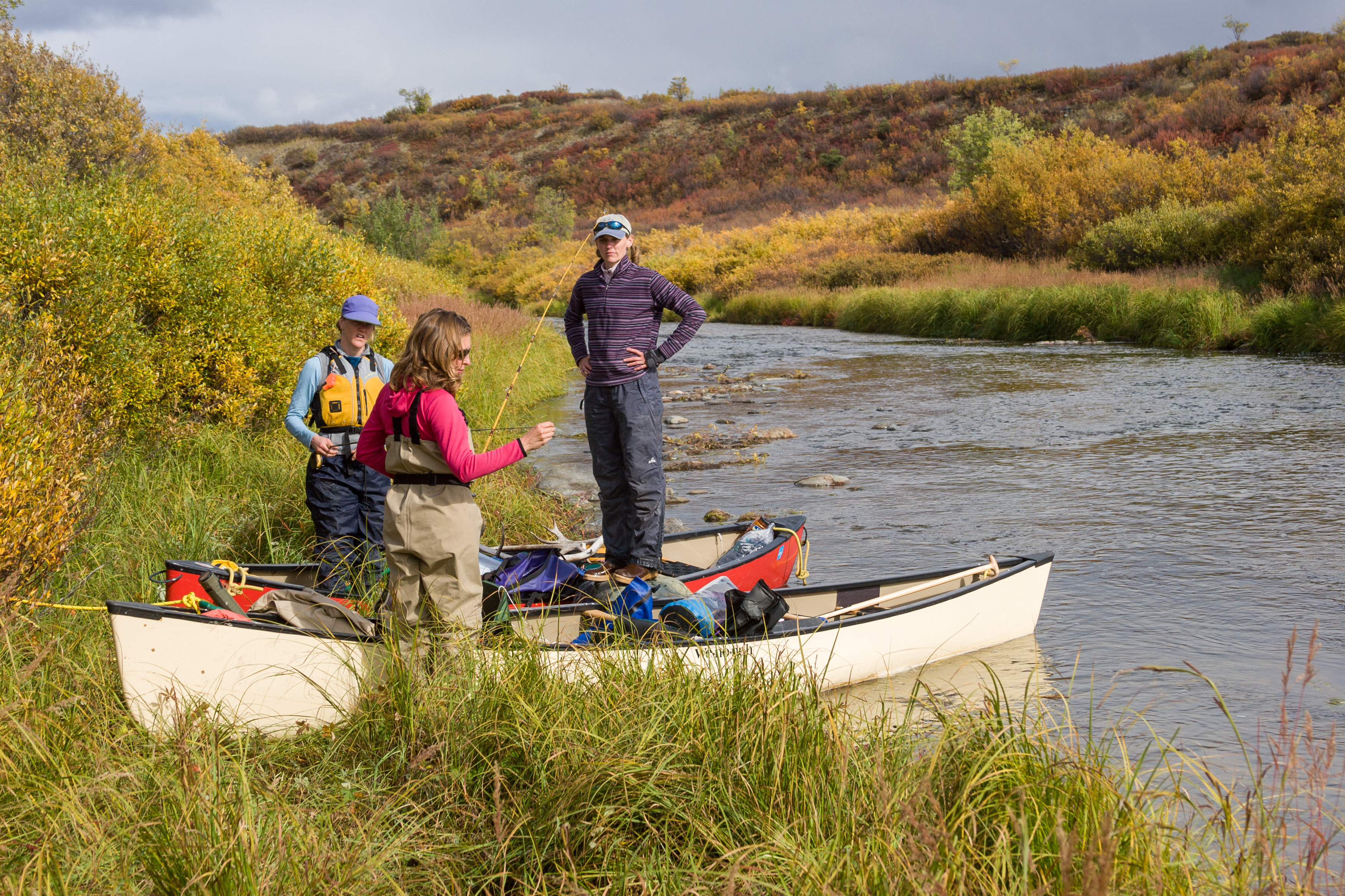

The single most common question in fishing isn't what fly to tie on, it's "can I even fish here?" A river might be famous, the water crystal clear, and the fish rising, but if every foot of bank is private, getting to the water is another matter. The good news: across most of the U.S., far more water is open to the public than people realize. You just have to know what to look for.
This guide walks through the four things that actually decide public fishing access, and how to check each one before you drive out.
1. Public land is the easy win
The most straightforward public access is public land, national forests, BLM land, state wildlife areas, county and city parks. If a stretch of river or a lakeshore runs through public land, you can usually walk in and fish it. National forests alone contain hundreds of thousands of miles of streams.
The catch is that public-land boundaries aren't marked on the ground, and a river can pass in and out of public ownership within a mile. That's where a map that shows land ownership around the water, not just the water, is worth its weight.
2. Boat launches and access sites are doorways
Even where the surrounding banks are private, a public boat launch or a designated fishing-access site is a legal doorway to the water. State fish-and-wildlife agencies maintain thousands of them. From a launch, you can float or wade (where wading is legal) well beyond the access point itself.
The rule of thumb: get to the water at a public point, and know your state's rules about what you can do once you're on it.
3. "Public bank" is where public land meets the water
When public land touches a river or lake, the shoreline itself is public bank, the public can stand there and fish. This is the part most maps miss, because it requires overlaying the water's edge on land ownership. A lake ringed by national forest may have miles of public bank even if a few private lots dot the shore.
4. The water itself may be public, even past private land
This is the big one, and it varies by state. Under the public-trust doctrine and navigable-waters rules, the water (and often the streambed below the high-water mark) can be public even where the adjacent land is private. In some states the law permits wading a river through private property, provided you entered from a public point and stay below the high-water line. In others, you can't touch the bed. We cover this in detail in our water-access-law explainer.
How to check before you go
Before heading out, confirm all four for the specific spot you have in mind:
- Is there public land touching the water? (The bank there is fishable.)
- Is there a public launch or access site nearby? (A legal way in.)
- What does your state's water-access law allow once you're in the water?
- Where exactly is the private/public line at your GPS position?
That last question, the precise line at your feet, is the one paper maps and generic apps can't answer. It's exactly what Guidepole is built for: one map that layers water, public land, ownership, launches, and regulations so you can see, at your location, whether there is public access there.