

Launch
Introducing Guidepole Fire — wildfires, smoke & air quality
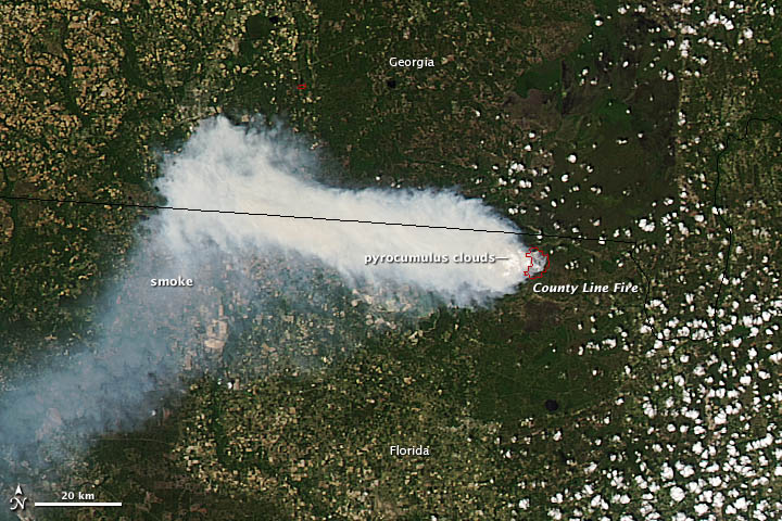
Guidepole started with one question — "can I fish here?" — answered from public data on one map. Guidepole Fire brings that same approach to a different question millions of people ask every summer: is that smoke coming my way, and when will the air clear?
Guidepole Fire is a separate app for wildfire, smoke, and air quality — built on the same authoritative public feeds (NIFC, NOAA, NASA, EPA), on one clear map.
What it does
- Every active wildfire and satellite hot spot, nationwide.
- The smoke plume overhead and the air quality (AQI) right where you stand.
- A next-24-hour smoke forecast — where it's headed and when it should lift.
- Watch the places you care about and get alerts when a fire, smoke, or unhealthy air reaches them.
- Gary, the built-in assistant: just ask "is the smoke headed my way this week?"
Safety stays free
The core safety picture — where it's burning, the smoke, the air you're breathing now — and life-safety alerts are free. It's an awareness tool built on public data, not an emergency service: always follow official evacuation orders and local authorities.
How to get it
Guidepole Fire is available now on the App Store, free to download for iPhone.
