 Fish
Fish Fire
Fire Hike
Hike Bird
Bird

Data
Guidepole comes to Tennessee
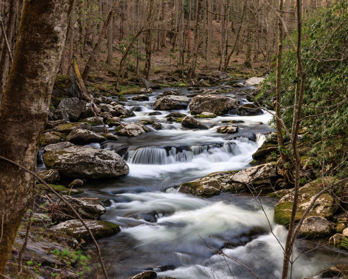
Tennessee is now a fully covered state on Guidepole. From the TVA reservoirs and tailwaters to the Cumberland and Tennessee rivers and the mountain streams of the east, you get the complete map: water, public land, boat launches and access, and the rules that govern where and how you can fish.
Tennessee fishing runs on its dams - the reservoirs behind them and the cold tailwaters below. Guidepole maps those waters, the access to them, and the regulations and trout stocking that make them worth the trip.
What's covered
- Water across the state - TVA reservoirs, the Cumberland and Tennessee rivers, tailwaters, and streams - from USGS hydrography.
- Public land, including TWRA wildlife management areas and state and national forests, plus boat launches and access points.
- Fishing regulations tied to the water they govern, straight from the Tennessee Wildlife Resources Agency (TWRA).
- TWRA trout stocking, so you can see which tailwaters and streams are being stocked.
- Fish-consumption advisories where the state has issued them.
- Land parcels with owner information statewide, plus the major metro counties, and tracked species so you can see what's been recorded where.
Always confirm the current rules
We pull regulations directly from TWRA, but rules change - always confirm the current limits and seasons with the official source before you fish. Guidepole links you straight to it.