 Fish
Fish Fire
Fire Hike
Hike Bird
Bird

Guidepole comes to California
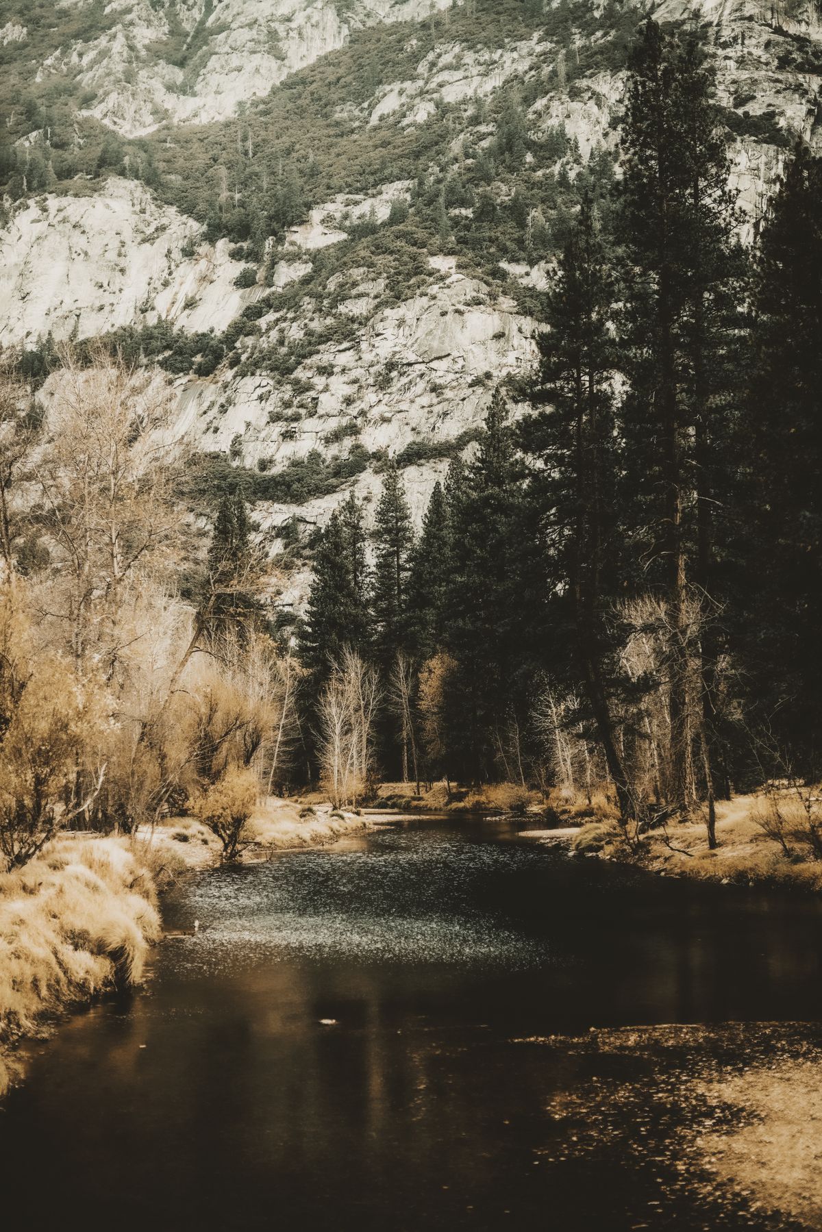
California is now a fully covered state on Guidepole. From high-Sierra lakes and the Delta to the tailwaters and the whole coastline, you get the complete map: water, public land, boat launches and access sites, and the rules that decide where and how you can fish.
California is also where the rules matter most. The coast is threaded with Marine Protected Areas where fishing is limited or closed entirely, and ocean and inland regulations differ. Guidepole draws those boundaries on the map and carries the rules that apply inside each one, so you know before you cast.
What's covered
- Water across the state - Sierra lakes, the Delta, reservoirs, rivers, and the coast - from USGS hydrography.
- Public land from BLM, national forests, and state parks, plus boat launches and CDFW access sites.
- California's Marine Protected Areas - MPAs, reserves, and conservation areas - each carrying the rules that apply inside it.
- Freshwater and ocean sport-fishing regulations, straight from the California Department of Fish and Wildlife (CDFW).
- Land parcels with owner information across the major counties, where it's published.
- Surveyed bathymetry where it exists, active coastal closures, and tracked species so you can see what's been recorded where.
Always confirm the current rules
We pull regulations directly from CDFW, but rules - especially ocean seasons and MPA boundaries - change. Always confirm the current limits, seasons, and closures with the official source before you fish. Guidepole links you straight to it.